
|
|
Route |
|---|---|
|
|
45.84381°N / 11.22039°E |
|
|
Winter |
|
|
Approach
 |
This mountain is part of the vast plateau of Folgaria. Along the ridge of the Dosso del Sommo and Campomolon there are peaks a little challenging for those who practice ski mountaineering: Spiz Tonezza and Monte Maggio.
See the main page for the Monte Maggio
 The forest route E5
Getting There
From Rovereto, exit Highway Brenner, drive along the Terragnolo valley until Serrada. From here you continue to Fondo grande and Fondo Piccolo and Coe Pass up to Malga Zonta, the point of departure of the path. Go through the forest till the path E5 that lead to the Monte maggio summit 1853m.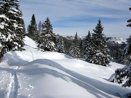
General data
Start altitude: 1543m
Summit altitude: 1853m
Prevailing exposition: N side
Type: 2h over forest roads with snow and path E5
Power: 1 - no difficulties
Orientation: 1 - easy
Essential gear
Hiking gear is sufficient. Prealpi Venete