
|
|
Route |
|---|---|
|
|
45.76686°N / 10.94598°E |
|
|
Hiking |
|
|
Winter |
|
|
Half a day |
|
|
EEI |
|
|
Overview
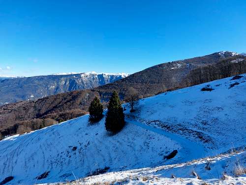
The Altissimo-Baldo chain projects towards the Val d'Adige (towards the East) an area of high and undulating mountain pastures moved by some elevations dropping down with steep rocky walls on the Val d'Adige.
Two of these ones are Monte Vignola 1606 m and Corno della Paura 1518 m. On the other side (above La Polsa) the mountain slopes down with sweet and bucolic meadows.
Starting from La Polsa there is a simple trail taking place at first mainly along ex-military dirt roads in the direction of Monte Vignola and then on an easy itinerary on the slopes of Monte Vignola, practicable in winter with snowshoes or crampons.
This itinerary is highly advisable in reason of the extensive views, the beautiful landscape and summit panorama, besides the testimonies of the WWI. The route follows at first the old military roads of the Great War and leads to contact with a series of interesting war remains such as tunnels, rock shelters, retaining walls, observation points. Remains of defensive works of the Austro-Hungarian Empire. which were not completed due to the retreat of the lines at the beginning of WWI. In fact, Monte Vignola should have housed a fort in the fortified belt of Vallagarina which from Baldo should have reached as far as Pasubio, but the Austro-Hungarian Empire did not implement the project and the lines were set back.
Getting There
The starting point is La Polsa di Brentonico - From A22 Autobrennero exit Rovereto Sud and follow the signpost to Mori, then to Altopiano di Brentonico. Take the road SP3, pass the town of Brentonico and at the fork keep left to Polsa di Brentonico. Here take the road to Camping La Polsa, where near the parking lot the road ends.
Route Description
Monte Vignola winter ascent
Difficulty: EEI Difference in level: 300 m from La Polsa
Starting point: La Polsa di Brentonico 1297 m
A fine and worthwhile itinerary, leading on a highly panoramic summit
The start is located near the car park at the end of the SP218 which connects Brentonico with the locality of La Polsa. From here take the SAT 18 route. This route, which partly coincides with the Sentiero della Pace, runs along a beautiful military road that passes alongside the campsite, advancing halfway up the hill towards Monte Vignola.
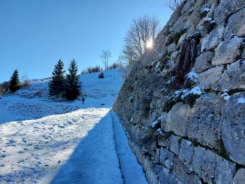
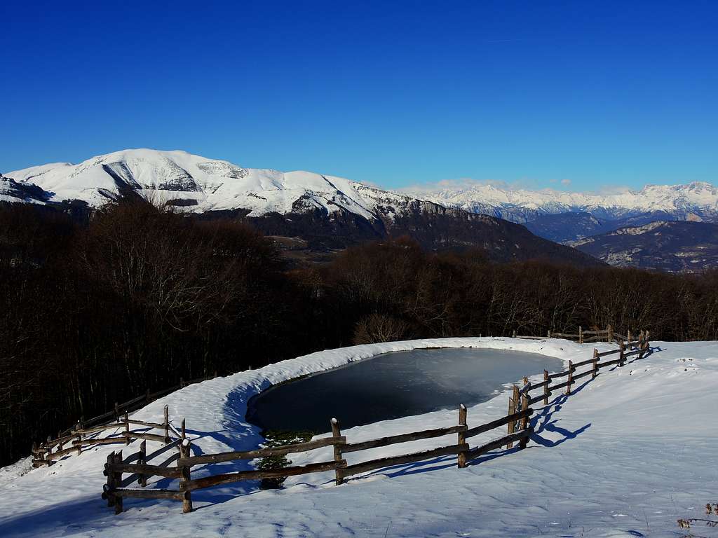
First it passes malga Vignola and then passes near the former Austro-Hungarian barracks and an impluvium for collecting rainwater. Having reached a nearby commemorative stone with a flag, leave the military road and take the track on the left, which begins to climb more decisively along the slopes of the mountain.
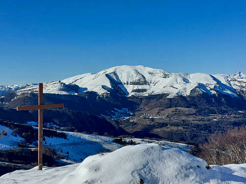
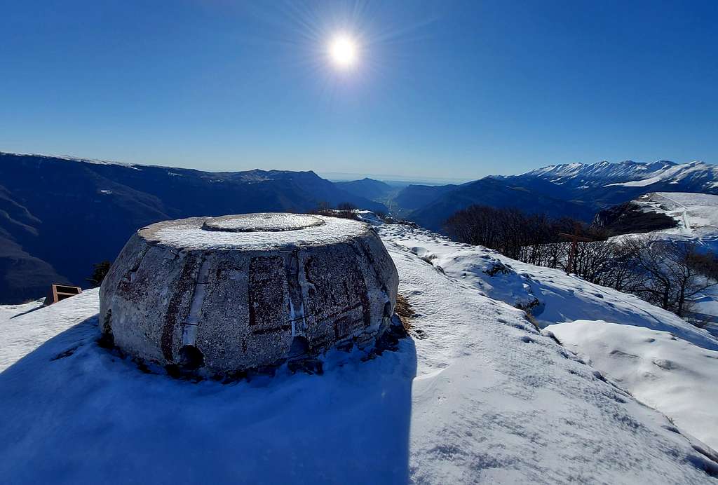
A short winding climb along the steep slope takes us to the top of Monte Vignola 1606 m., where you can often meet chamois.
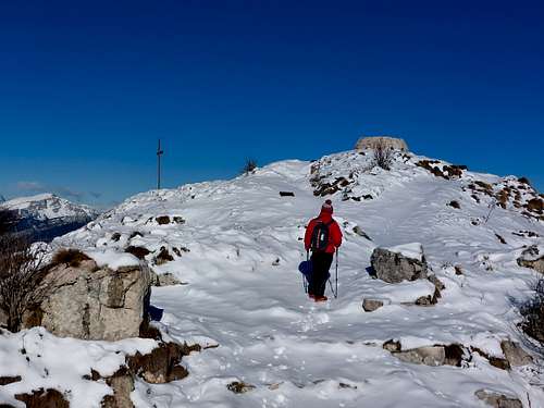
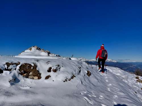
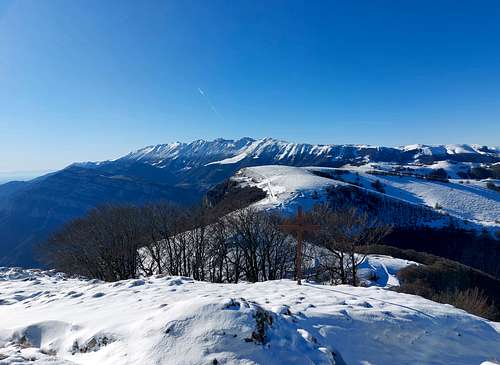
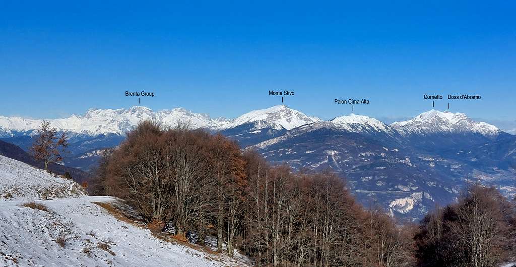
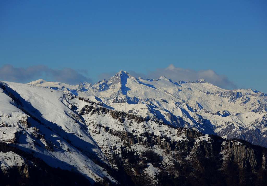
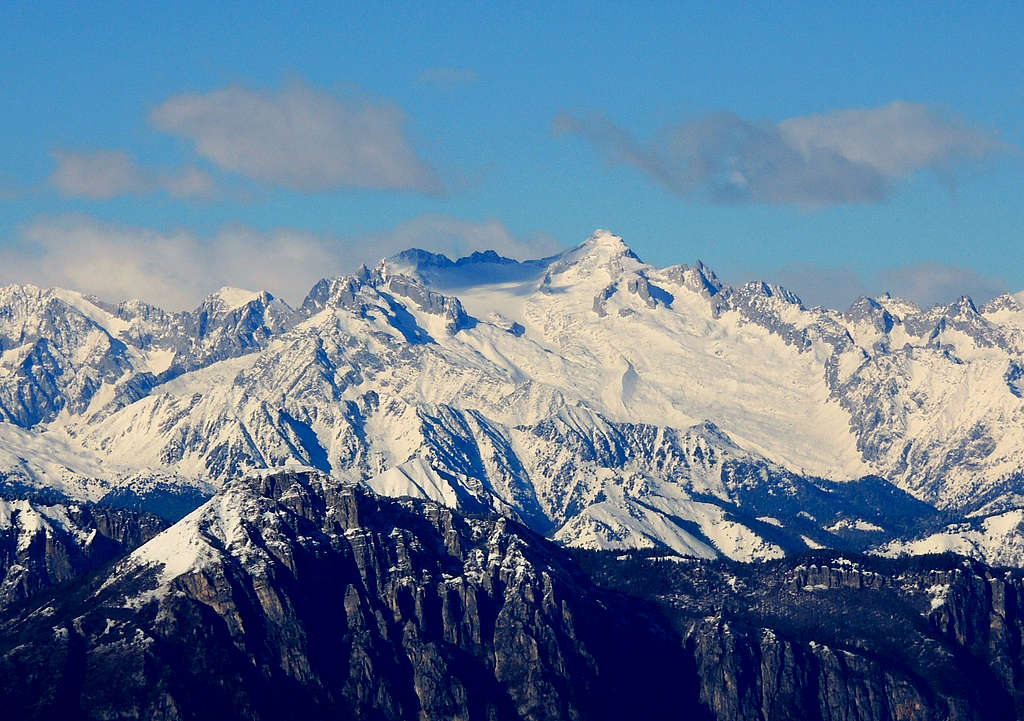
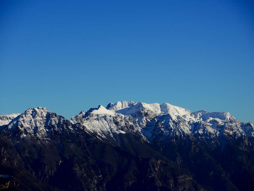
On the summit of this mountain it is clear why it was chosen as the site of a fort, the panorama is vast and ranges from Pasubio to the Little Dolomites, from Lessini to Garda, Adamello, Presanella, Brenta.
On the top there are some circular concrete emplacements for the anti-aircraft artillery built by the Italian troops in 1915 after the Austrians left the emplacement.
Descent: reversing the same itinerary
Red Tape
No fees no permits required
Essential Gear
Warm clothing and equipment for the progression on snowy ground (snowshoes or crampons may be required depending on the snow conditions).
Accomodation
Various possibilities in La Polsa and Brentonico. Camping in La Polsa.
When to climb
From December to March
Meteo
External links
Trentino Grande Guerra
Parco Monte Baldo