Welcome to SP!  -   
 
 New features are here! - Read More... 
Areas & Ranges·Mountains & Rocks·Routes·Images·Articles·Trip Reports·Gear·Other·People·Plans & Partners·What's New·Forum

Mount Agassiz as viewed from...

 
[ Sizes: Orig | Med | Small | Thumb ]
Mount Agassiz as viewed from...
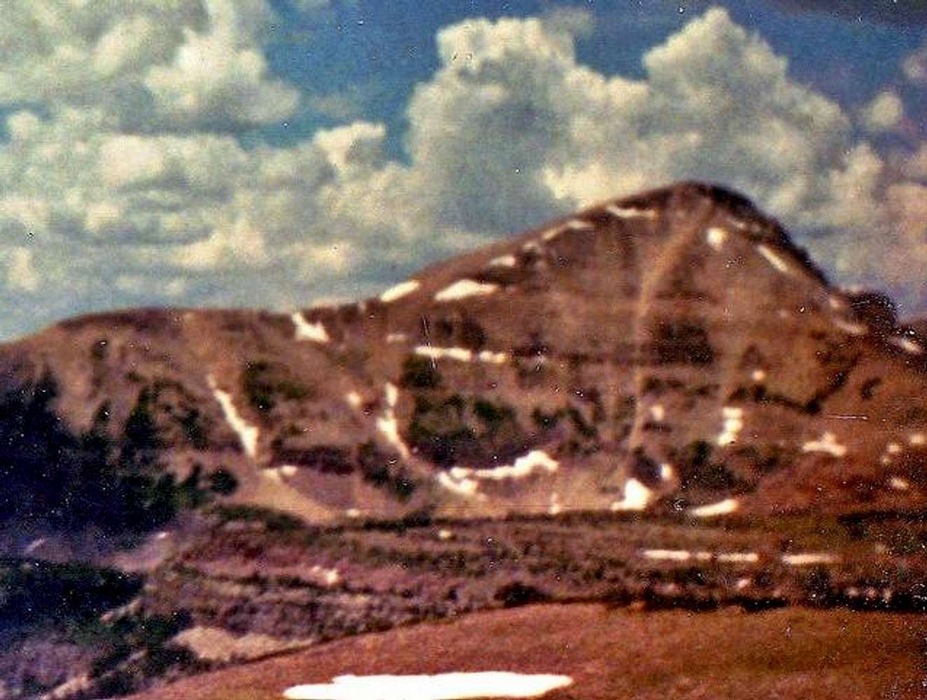
Mount Agassiz as viewed from across Naturalist Basin in early August 1990. The Naturalist Basin Route goes up the right hand ridge after climbing up to it from the basin.

Sorry about the very poor-quality photo, but this is the best one I have for this side of the mountain and of one that shows the route. I was only 16 when I did the climb took this photo and this was the camera I had. When someone else adds a better one of the route, I'll delete this one.


Comments

No comments posted yet.


Sign in to post!

Don't have an account? Register now.


Rate This Image
Current Score: 64.63

Log In To Vote
 Naturalist Basin (Route)

Water Lilies, Scudder Lake
« PREV

Viewing
#2 of 2
GALLERY

You are at
the Last
Image

 Scott's Image Gallery

The rain forest along the...
« PREV

Viewing
#3678 of 4195
GALLERY
Fox-Quent Pass is along the...
NEXT »


 Mount Agassiz (Mountain/Rock)


Image Data

ScottSubmitted by Scott
on Oct 19, 2005 2:26 pm

Image ID: 131731
Hits: 1455 

Lat/Lon: 40.71110°N / 110.8228°W


"You're getting way too grumpy. You need to go climb a mountain."   --Kimberly Patterson   

© 2006-2012 SummitPost.org. All Rights Reserved.