Toggle navigation
Mountains
Routes
Images
Trip Reports
Forum
What's New
People
Areas & Ranges
Articles
Trailheads
Canyons
Huts & Campgrounds
Albums
Logistical Centers
Fact Sheets
Lists
Custom Objects
Gear
Plans & Partners
WELCOME TO SUMMITPOST
SIGN IN
REGISTER
Mount Pisgah (NV)
Additional Parents
Image
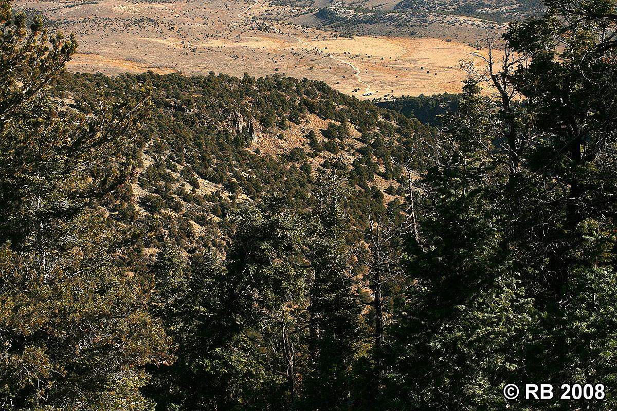
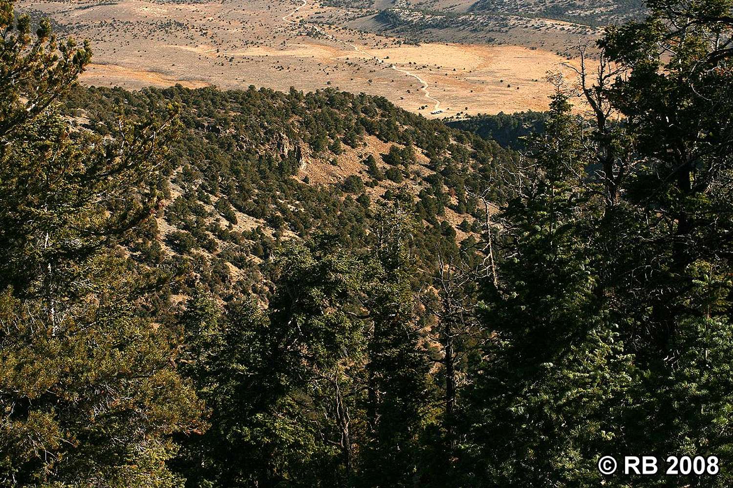
Mount Pisgah route view
View High-Resolution Image
Mount Pisgah route view
View from Mount Pisgah’s (elev. 8,999 ft.) northeastern slope. The dirt access road at top center terminates at the parking area along the eastern boundary of the Goshute Peak Wilderness Study Area. Photo taken 10/26/08.
« PREV
NEXT »
rayray
on
Oct 29, 2008 1:03 am
Comments & voting
Other parents
Lat/Lon:
40.42627°N / 114.2654°W
Image Type(s):
Scenery
Image ID:
458250
1239 Hits
72.08
% Score
2
Votes
Log in to vote
Comments
No comments posted yet.
to post!
Don't have an account?
Mount Pisgah (NV)
(Mountain/Rock)
« PREV
Viewing
#25 of 32
GALLERY
NEXT »
rayray's Image Gallery
« PREV
Viewing
#1552 of 1652
GALLERY
NEXT »
×
You need to login in order to vote!
User Name
Password
Remember me
Forgot your password?
Log me out when I close my browser.
Keep me logged in all the time.
sign in as a user
Don't have an account?
Register now for FREE
Rating available
Suggested routes for you
People who climb the same things as you
Comments Available
Create Albums
Register Here


