Toggle navigation
Mountains
Routes
Images
Trip Reports
Forum
What's New
People
Areas & Ranges
Articles
Trailheads
Canyons
Huts & Campgrounds
Albums
Logistical Centers
Fact Sheets
Lists
Custom Objects
Gear
Plans & Partners
WELCOME TO SUMMITPOST
SIGN IN
REGISTER
Mount Rogers
Additional Parents
Image
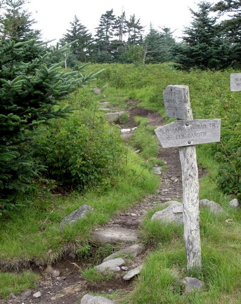
Mount Rogers -- The Summit Trail (2011)
View High-Resolution Image
Mount Rogers -- The Summit Trail (2011)
Here is a view of the start of the trail to the summit of Mount Rogers, the highest natural elevation in Virginia. It is marked by blue blazes (08 July 2011).
« PREV
NEXT »
milanite
on
Aug 17, 2011 5:31 pm
Comments & voting
Other parents
Lat/Lon:
36.65726°N / 81.53604°W
Image Type(s):
Hiking
Image ID:
738417
1227 Hits
0
% Score
0
Votes
Log in to vote
Comments
No comments posted yet.
to post!
Don't have an account?
Mount Rogers
(Mountain/Rock)
You are at
the First
Image
Viewing
#1 of 1
GALLERY
You are at
the Last
Image
milanite's Image Gallery
« PREV
Viewing
#78 of 91
GALLERY
NEXT »
×
You need to login in order to vote!
User Name
Password
Remember me
Forgot your password?
Log me out when I close my browser.
Keep me logged in all the time.
sign in as a user
Don't have an account?
Register now for FREE
Rating available
Suggested routes for you
People who climb the same things as you
Comments Available
Create Albums
Register Here


