|
|
Mountain/Rock |
|---|---|
|
|
48.59094°N / 121.59974°W |
|
|
Skagit |
|
|
5205 ft / 1586 m |
|
|
Overview
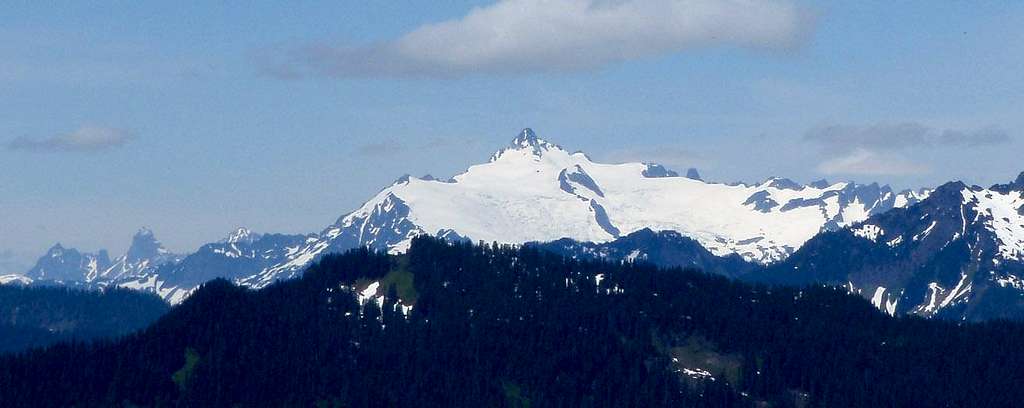
Jackman Peak is a 5205' summit located eight miles northeast of Concrete, and seven miles north of Rockport. Despite it's short stature, it is the highest point in the area bound by Thunder Creek, Jackman Creek, and Lake Shannon, and boasts a healthy 1465' of topographical prominence.
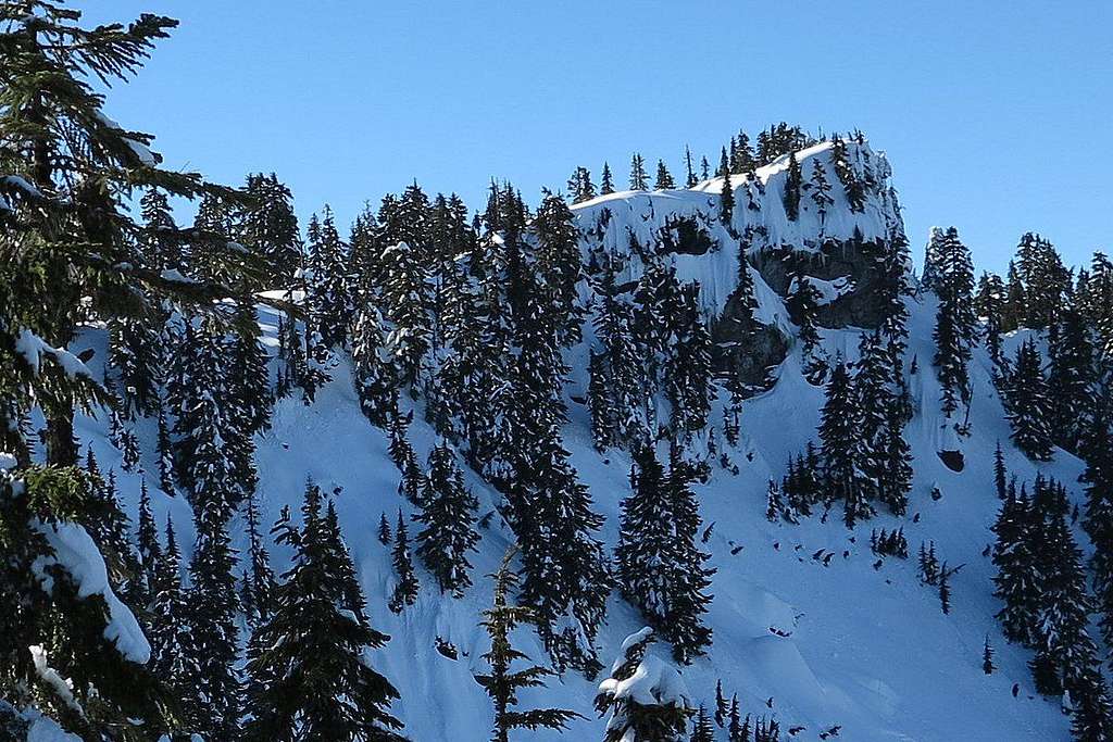
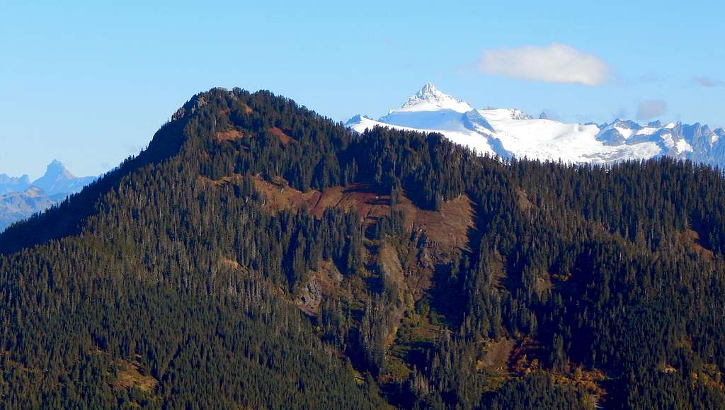
When viewed from a distance, Jackman Peak appears as a forest-covered peak with limited interest for peakbaggers. Closer inspection, however, reveals a rocky summit block that offers nice views at the expense of a short scramble. For this reason, Jackman Peak may be appealing to those who desire the convenience of nearby Sauk Mountain, but also prefer to avoid the crowds (we found one signature in the summit register - it was over five years old).
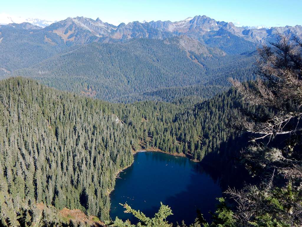
Also available in the immediate vicinity is Clear Lake (a worthy destination in it's own right), and another rocky summit in the form of 'Thunder Lakes Butte' (my own made up name for Pt. 4795).
Getting There

Navigate yourself to Jackman Creek Road on SR20 (Elev. 356'), which will be roughly four miles east of Concrete, and five miles west of Rockport. While it may seem counter-intuitive, coming in the 'back way' on SR530 via Darrington and Rockport may actually be shorter and easier for many of those arriving from 'Pugetropolis'. Turn north on Jackman Creek Road, and follow the mainline. Ignore a right hand turn at 2.7 miles (Elev. 1577'), which will likely be gated anyway. This spur leads up Jackman Ridge, which is a little confusing as it is on the opposite side of the Jackman Creek Valley as Jackman Peak. The mainline will be relatively flat for the next four miles, heading northeast to a crossing of Jackman Creek at 6.8 miles (Elev. 1820'). After crossing the creek, the mainline gets down to business, gaining 2400' in 4.6 miles, and crosses an obvious 4217' pass at the 11.4 mile point. Continue on the mainline a little over a mile, until just beyond the saddle between Pt. 4830 and Pt. 4740. This location will be a relative high point in the road approximately 12.5 miles from SR20. Keep a careful eye out on the right hand side of the road for the start of the 'Clear Lake Trail' (unofficial), which heads uphill to the east. It is not marked in any way, and can be easy to miss.
Route
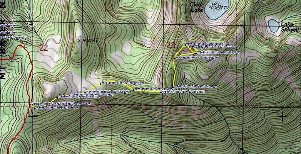
Hike the 'Clear Lake Trail' around the south side of Pt. 4740. At this point, the trail will enter a pleasant area of alternating meadows and small tarns. The trail can be quite faint in this section, so careful attention is required. Once the meadows are passed, the trail becomes very well defined as it follows the ridge crest east. The trail will momentarily drop off the ridge crest to avoid nuisance cliff bands as it passes around Pt. 4900. Upon regaining the ridge crest, the trail will begin climbing steeply toward a saddle just west of the Jackman Peak summit block. An interesting rock finger along the way seems to order the unprepared to leave the area.
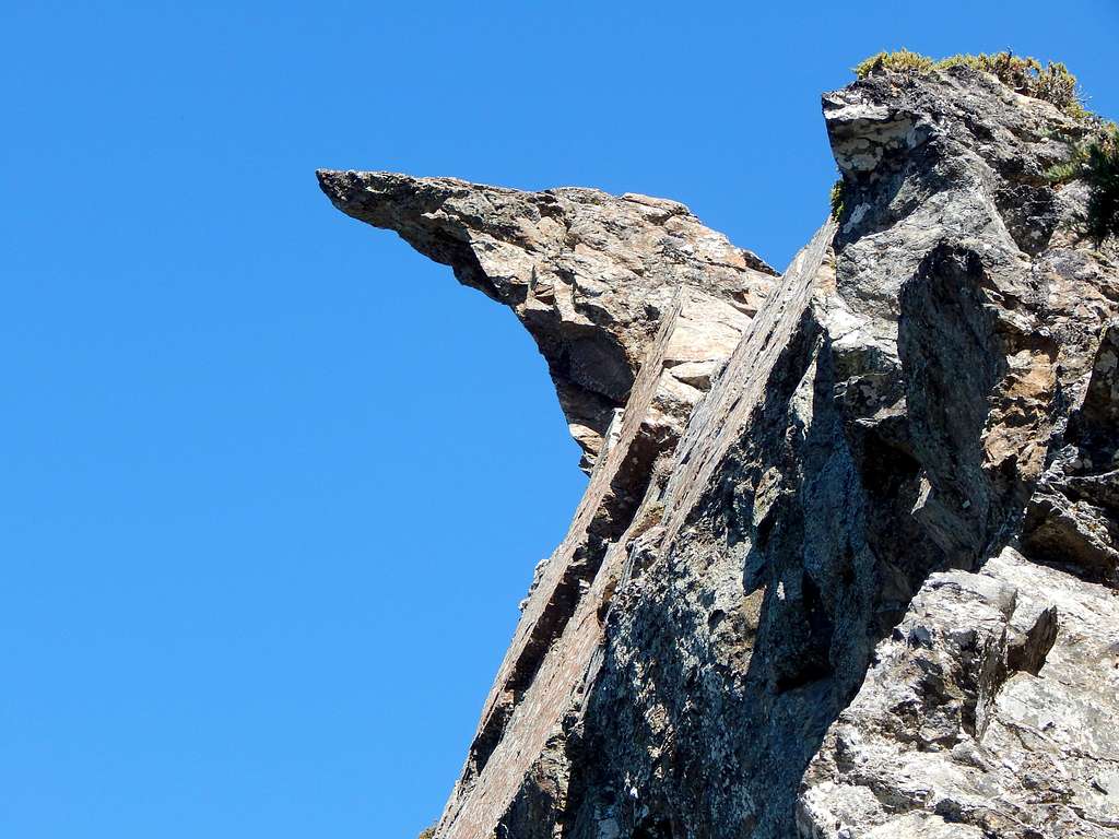
Shortly after passing the rock finger, you will get the first good view of your objective.
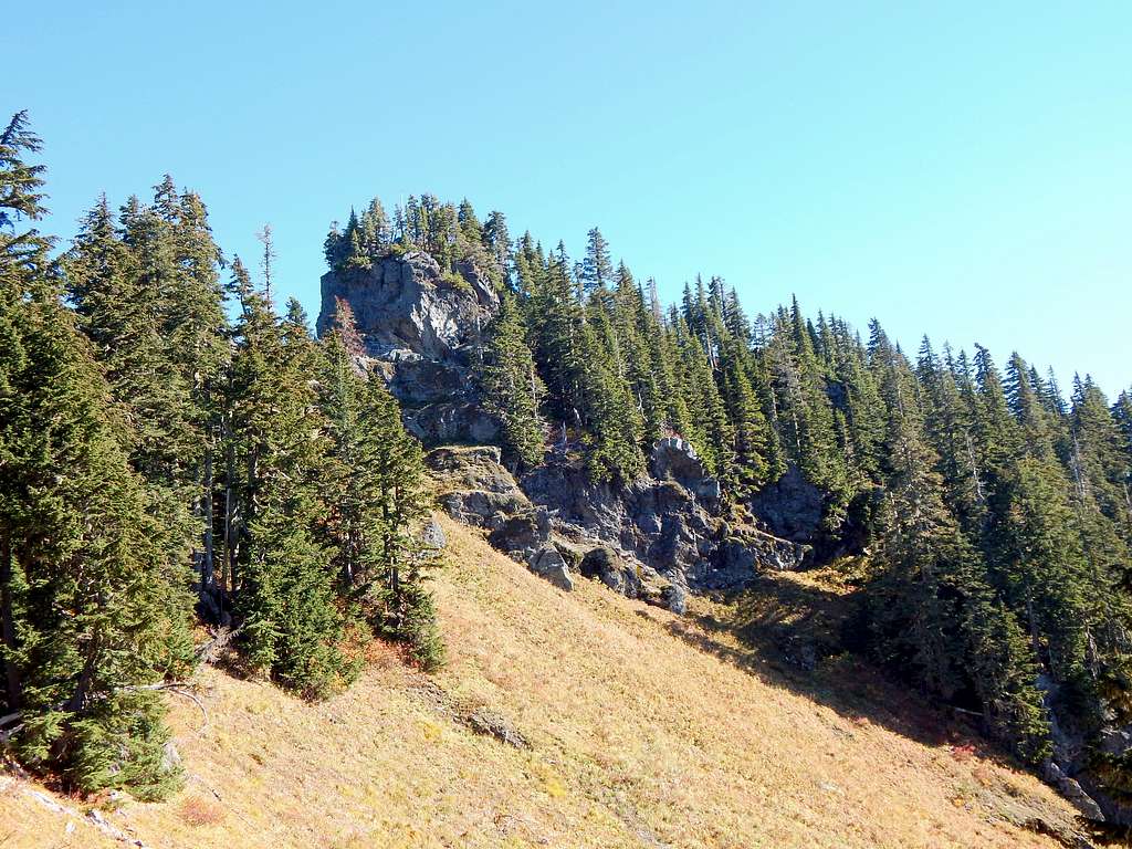
From this point, make an oblique traverse to the east (aiming for the grassy ramp just right of photo center) until southeast of Jackman Peak's summit. Now scramble up a steep gully for 100' of elevation gain until gaining the ridge just east of the summit.
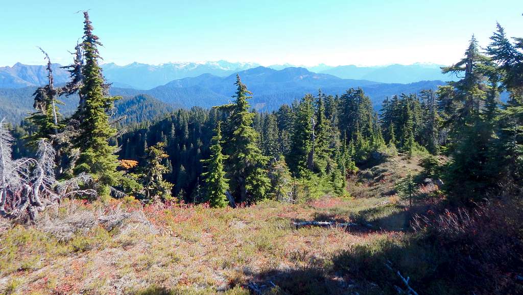
Upon gaining the ridge, the final climb to the summit will be on low angle heather slopes. Total distance to the summit from the road will be about 1.8 miles, and just under 1000' of elevation gain.
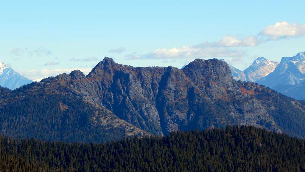
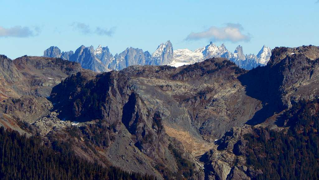
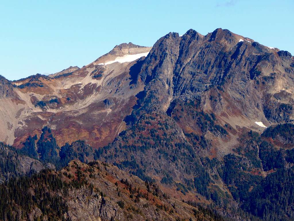
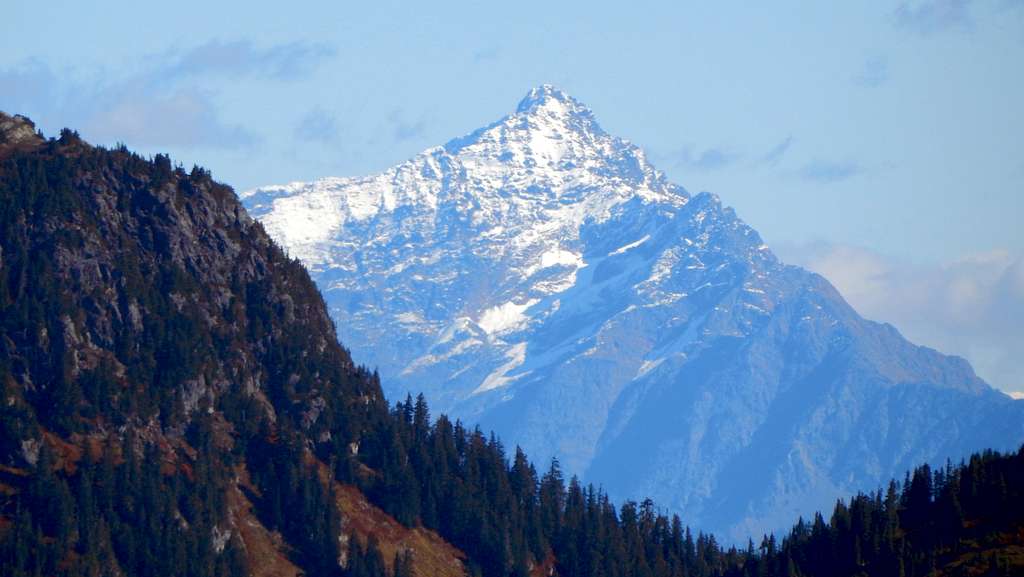
While Jackman Peak does not offer an unrestricted, 360 degree panorama, views in all directions can be obtained by visiting a few closely spaced locations near the summit.
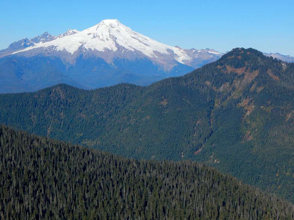
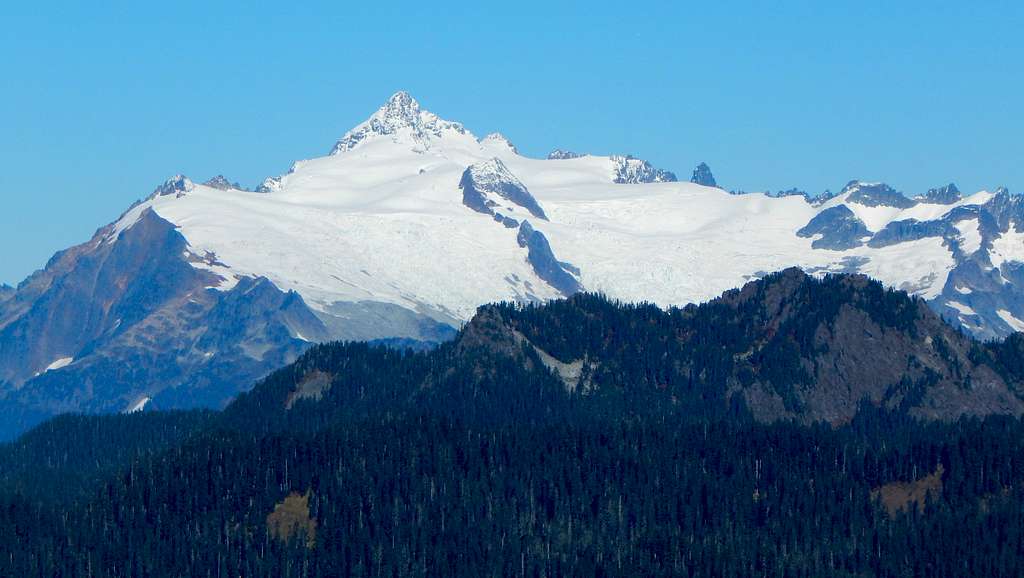
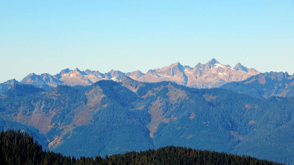
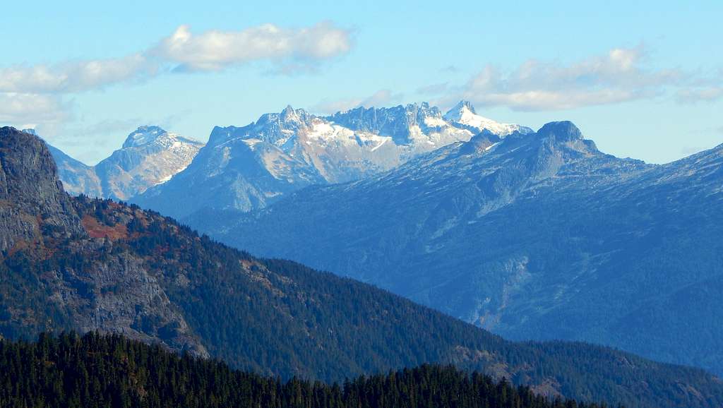
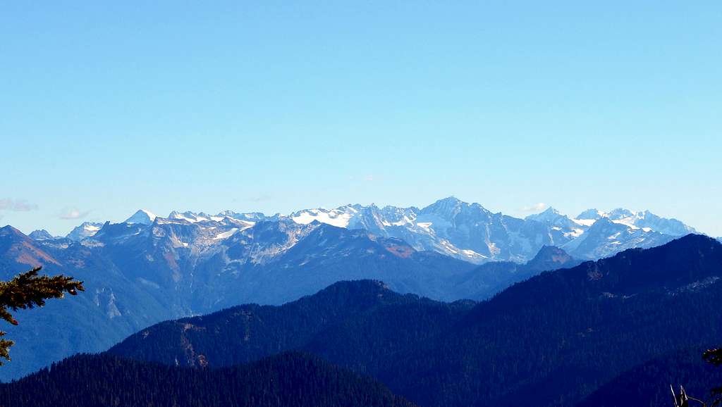
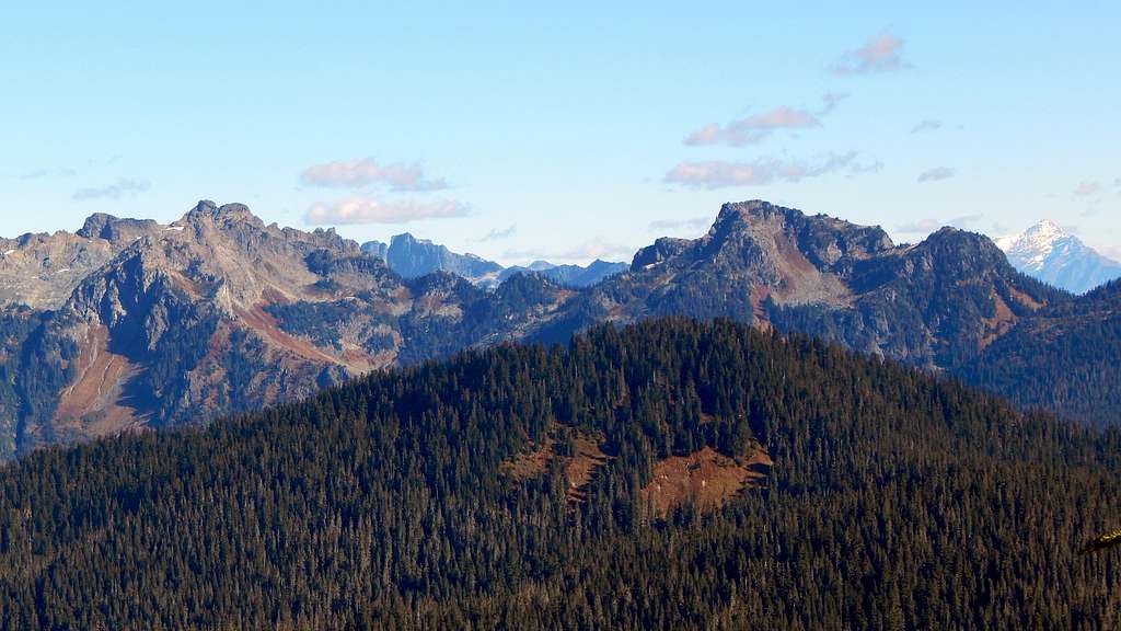
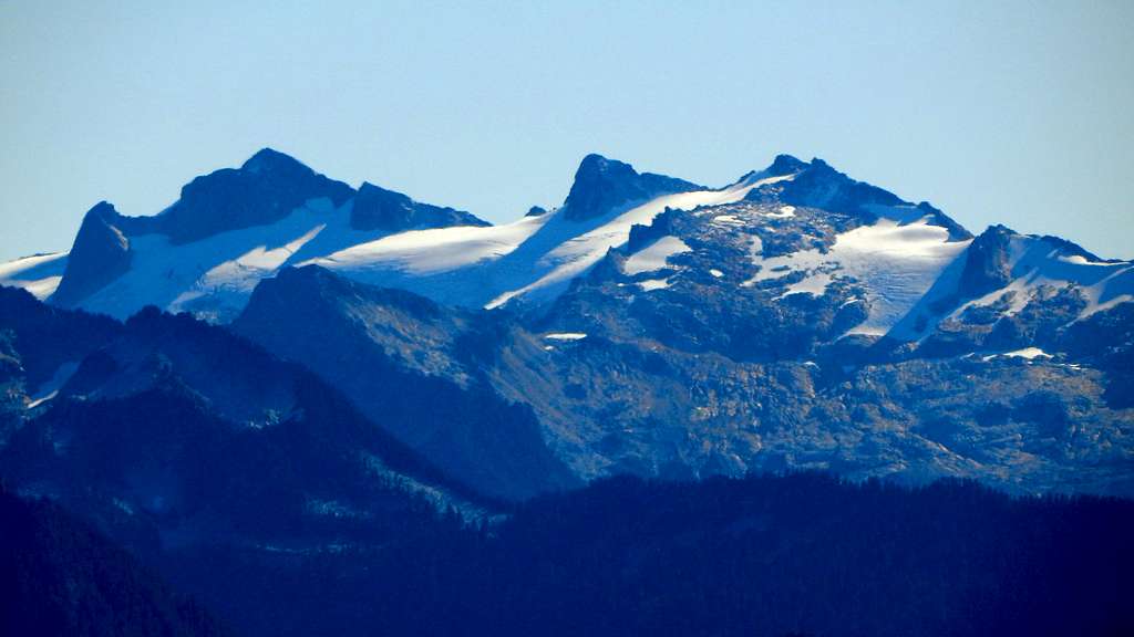
Extra Credit: If you are feeling a little guilty about the ease with which you climbed Jackman Peak, there is a 'Bonus Peak' in the area in the form of 'Thunder Lakes Butte'.
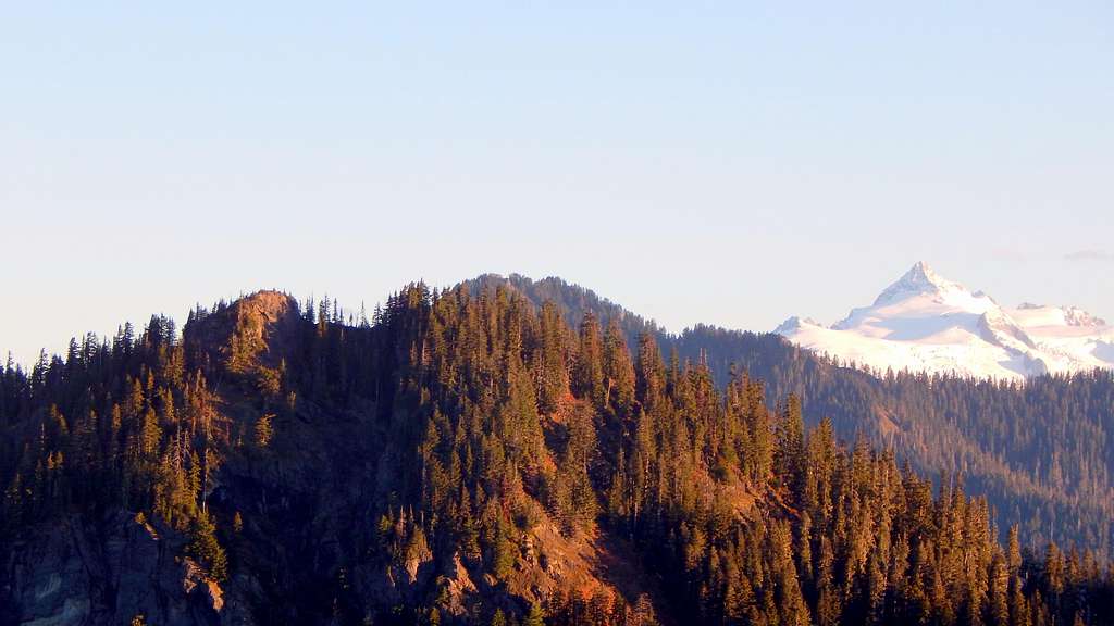
Unlike Jackman Peak, 'Thunder Lakes Butte' does offer a 360 degree panorama, albeit from a slightly lower elevation.

From the Clear Lake 'trailhead', continue another 1.4 miles down the mainline, past the Thunder Lakes, to 4400' - here you will find a clearly defined border between old growth and second growth. Ascend in the old growth to the ridge crest, then follow the ridge crest southeast until reaching a nuisance cliff band. Now drop down about 100' on the opposite side of the ridge, and traverse southeast until just northwest of the summit. Now scramble a steep slope back up to the ridge crest, and finish things off with a short class 2/3 scramble. Please resist the temptation to scramble this peak from the very end of the road. It looks good on paper, but results in a frustrating brush fight (ask me how I know).
Note: It does appear possible to scramble this peak from the east, as is suggested by this post - unfortunately, the author does not detail the ascent.

Red Tape
A Northwest Forest Pass is not required to park anywhere on the Jackman Creek Road. Please note that most of the gated spurs leading off of the mainline require a Weyerhaeuser permit to access.
When to Climb
June through November would be most ideal, but the season could be extended if one were willing to walk snow-covered roads.
Camping
Clear Lake would provide excellent camping, albeit with a substantial elevation penalty. Camping would also be very feasible in the meadow and tarn area near the start of the Clear Lake Trail. Finally, the summit ridge to the east of Jackman Peak would be acceptable for camping if one desired a view campsite.

