Toggle navigation
Mountains
Routes
Images
Trip Reports
Forum
What's New
People
Areas & Ranges
Articles
Trailheads
Canyons
Huts & Campgrounds
Albums
Logistical Centers
Fact Sheets
Lists
Custom Objects
Gear
Plans & Partners
WELCOME TO SUMMITPOST
SIGN IN
REGISTER
Sentinel Point
Additional Parents
Northeast Ridge via Devil's Playground
Image
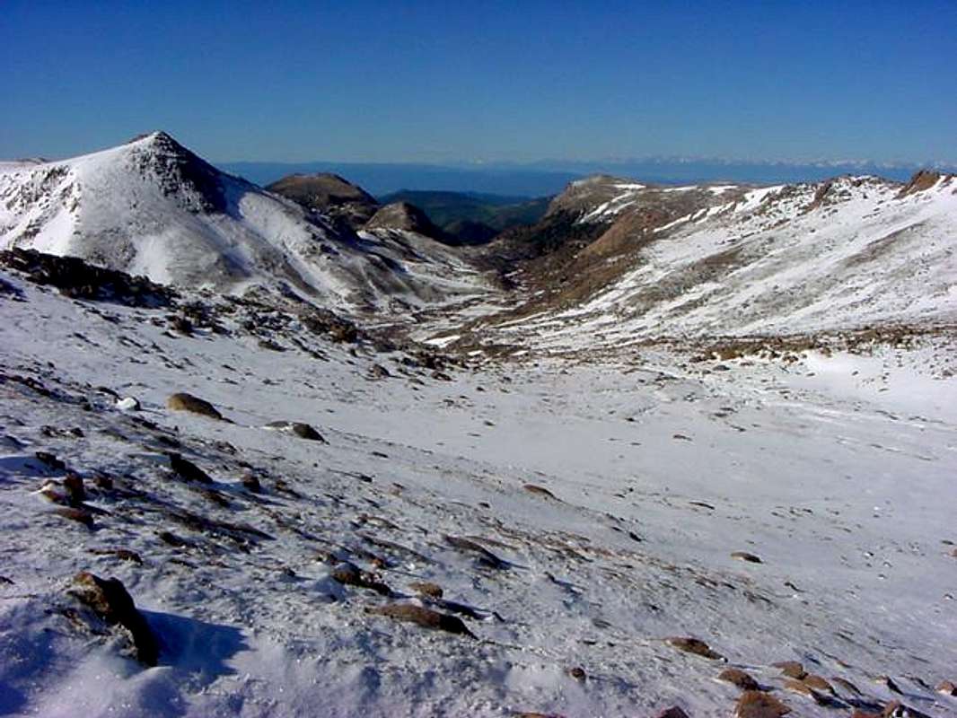
Looking south down the west...
View High-Resolution Image
Looking south down the west...
Looking south down the west fork of Beaver Creek drainage from the connecting ridge just west of Devil's Playground. The Sangre de Cristos can be seen in the distance.
« PREV
NEXT »
csmcgranahan
on
Jun 12, 2005 6:01 pm
Comments & voting
Other parents
Lat/Lon:
38.84040°N / 105.1045°W
Image ID:
109813
2765 Hits
72.08
% Score
2
Votes
Log in to vote
Comments
No comments posted yet.
to post!
Don't have an account?
Sentinel Point
(Mountain/Rock)
« PREV
Viewing
#33 of 56
GALLERY
NEXT »
csmcgranahan's Image Gallery
« PREV
Viewing
#424 of 660
GALLERY
NEXT »
Northeast Ridge via Devil's Playground
(Route)
Loading....
×
You need to login in order to vote!
User Name
Password
Remember me
Forgot your password?
Log me out when I close my browser.
Keep me logged in all the time.
sign in as a user
Don't have an account?
Register now for FREE
Rating available
Suggested routes for you
People who climb the same things as you
Comments Available
Create Albums
Register Here


