
|
|
Mountain/Rock |
|---|---|
|
|
44.00560°N / 122.9644°W |
|
|
Lane |
|
|
Hiking |
|
|
Spring, Summer, Fall, Winter |
|
|
1561 ft / 476 m |
|
|
Overview
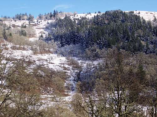
Rare snow on Mount Pisgah
Mt Pisgah is a very popular destination in the southern Willamette valley. Located east of Eugene, Oregon at the confluence of the Middle fork and Coast fork of the Willamette river. This mountain has a very good trail system that rise from the valley floor to the summit and has multiple well graded trail that lead to its special summit.
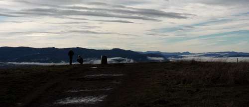
The summit area
The mountain rises 1,100 ft above the river valley floor to an elevation of 1,561 ft. It also has 920 feet of prominence. It is a singular mountain surrounded by the valley on all sides giving it a deceptively airy loft above the surrounding topography. It offers up great views of the middle fork of the Willamette valley as it winds its way up into the cascade foothills. It also takes in view a large chunk of the Eugene and Springfield metro area. On clear days it offers up an unobstructed view of Diamond peak at 8,751 ft is the highest peak in the upper Willamette watershed.
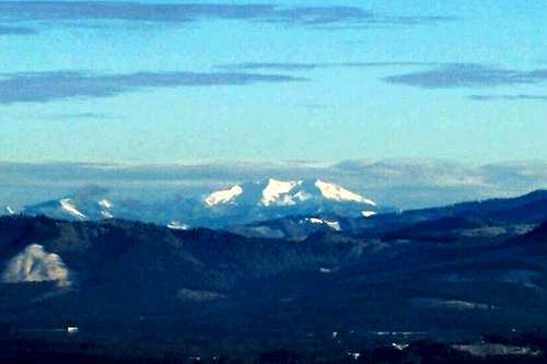
Diamond Peak from Pisgah summit
The mountain is encompassed by Howard Buford recreation area. a 2363 acre Lane County park. There are three Trail heads 1) Main T.H (West side) A moderately steep 1.4 mile trail leads to the summit 2) North T.H. and 3) east side T.H. are longer approaches offering trail variations as well as Trails friendly to horseback riding. At the summit is a bronze memorial to Jed Kesey the son of famous Oregon author Ken Kesey. It is also the home to the Mount Pisgah Arboretum. The arboretum is 209 acres offering up seven miles of riverside as well as hillside trail loops. It protects Douglas fir Incense cedar and white oak and 339 species of native plants. It holds festivals and events most weekends.
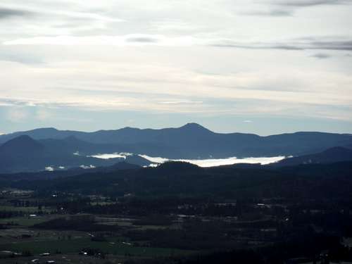
Looking south from Pisgah
Map of the Park
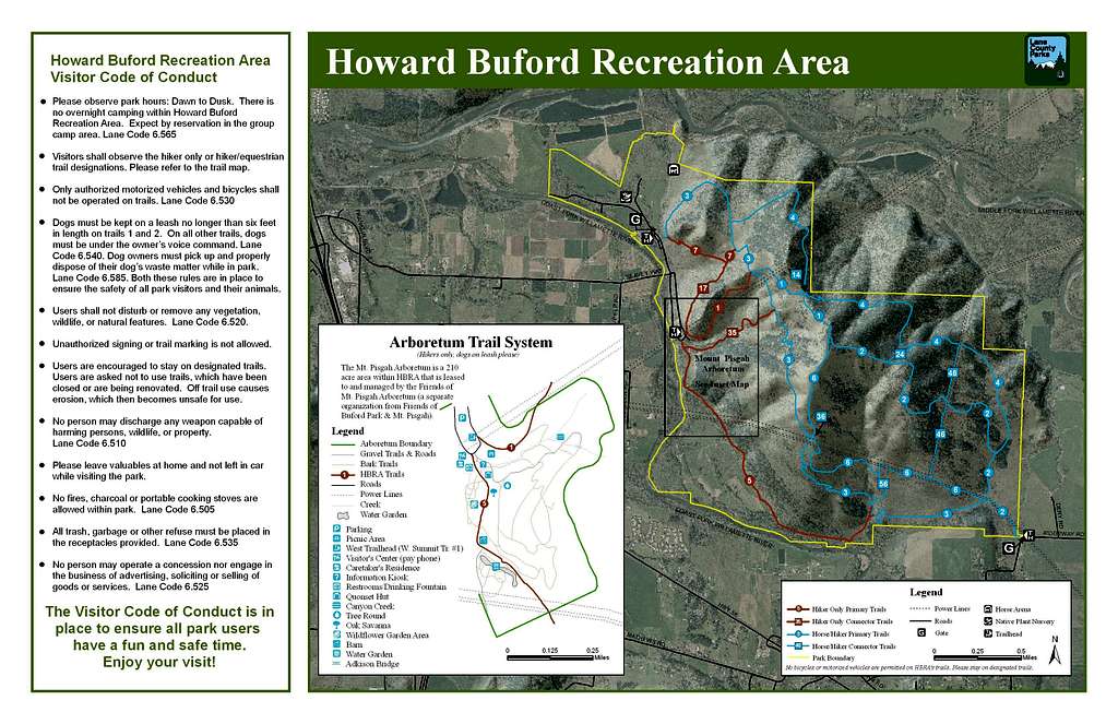
Mount Pisgah Park Map
Getting There
The mountain lies only a couple of miles east of interstate 5 giving easy access to the park. Coming in from the north on I-5 take exit 189 L.C.C 3oth avenue which connects up with McVay road. Take a right and going south until you reach traffic signal for thirtieth avenue. Take a left crossing over I-5 coming to a four way stop. take a left again travel north for a quarter mile take a left on Franklin Boulevard. Follow this south for about a half mile until you come to intersection with Seavey loop road take a left and travel due east two miles east to the entrance to the park.Coming in from the south on I-5 take exit 189 30th avenue exit to a four way stop continue north for quater mile take right on Franklin Boulevard travel south for a half mile until intersection with Seavy loop road. Travel due east for two miles until you enter the park.