My descent route entailed a...
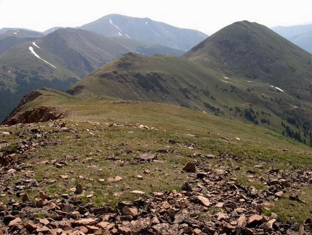
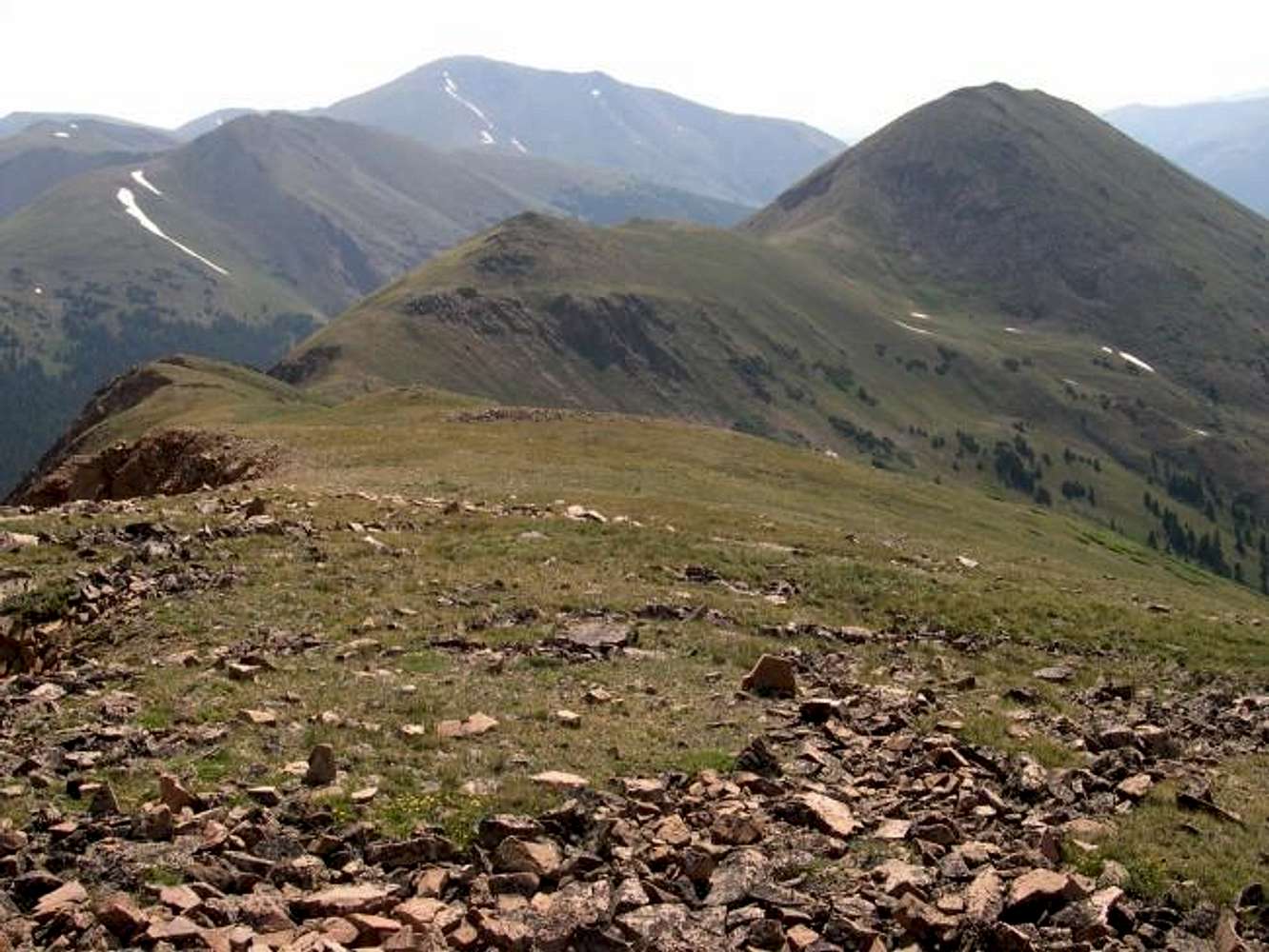
My descent route entailed a hike over Point 12,630-ft. Instead of dropping down into Herman Gulch from the saddle on The Citadel's east ridge, continue on up the broad grassy ridge that seperates the two drianges(Dry Gulch & Herman Gulch). After about three-quarters of a mile of class 1 hiking (above picture) you can descend the grassy slopes back down into Herman Gulch(to the left) and eventually end up intersecting the Herman Gulch Trail. I actually think this descent is shorter than the standard descent. This ridge connects to Mount Bethel, which looms over the I-70 corridor.


