Toggle navigation
Mountains
Routes
Images
Trip Reports
Forum
What's New
People
Areas & Ranges
Articles
Trailheads
Canyons
Huts & Campgrounds
Albums
Logistical Centers
Fact Sheets
Lists
Custom Objects
Gear
Plans & Partners
WELCOME TO SUMMITPOST
SIGN IN
REGISTER
Mill Creek Route
Additional Parents
Image
My dog Sopris before Mill...
View High-Resolution Image
My dog Sopris before Mill...
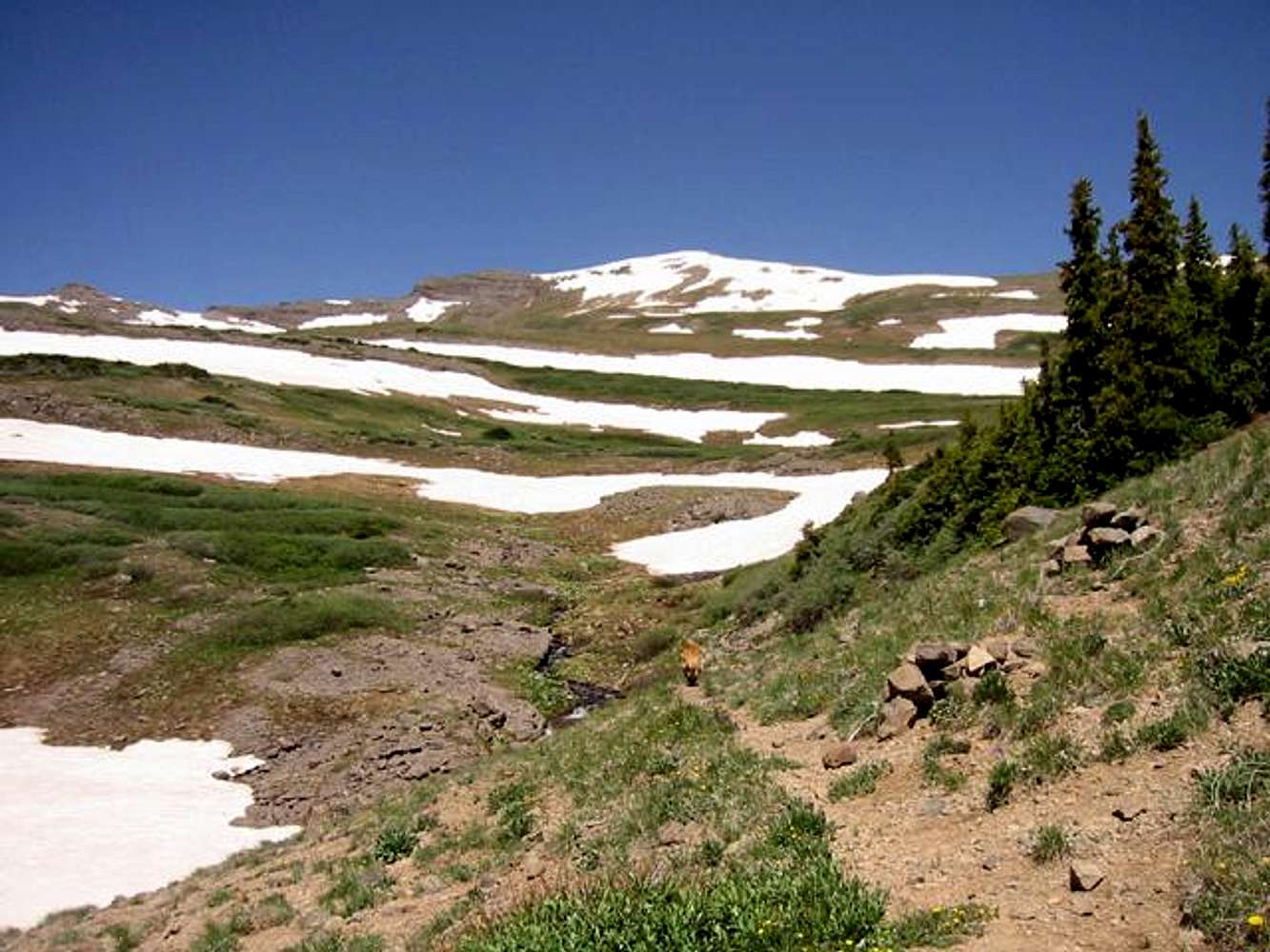
My dog Sopris before Mill Basin. The cairns and the spur trail mark the criticle junction with the Storm Pass Trail. Turn right here. July 1, 2003. Jon Bradford
« PREV
NEXT »
JonBradford
on
Nov 8, 2003 2:10 pm
Comments & voting
Other parents
Lat/Lon:
38.71800°N / 107.199°W
Image ID:
32639
4129 Hits
73.06
% Score
3
Votes
Log in to vote
Comments
No comments posted yet.
to post!
Don't have an account?
Mill Creek Route
(Route)
You are at
the First
Image
Viewing
#1 of 1
GALLERY
You are at
the Last
Image
JonBradford's Image Gallery
« PREV
Viewing
#1009 of 1444
GALLERY
NEXT »
West Elk Peak
(Mountain/Rock)
Loading....
×
You need to login in order to vote!
User Name
Password
Remember me
Forgot your password?
Log me out when I close my browser.
Keep me logged in all the time.
sign in as a user
Don't have an account?
Register now for FREE
Rating available
Suggested routes for you
People who climb the same things as you
Comments Available
Create Albums
Register Here


