
Viewing: 1-1 of 1

Dean - Dec 21, 2005 9:05 pm - Voted 10/10
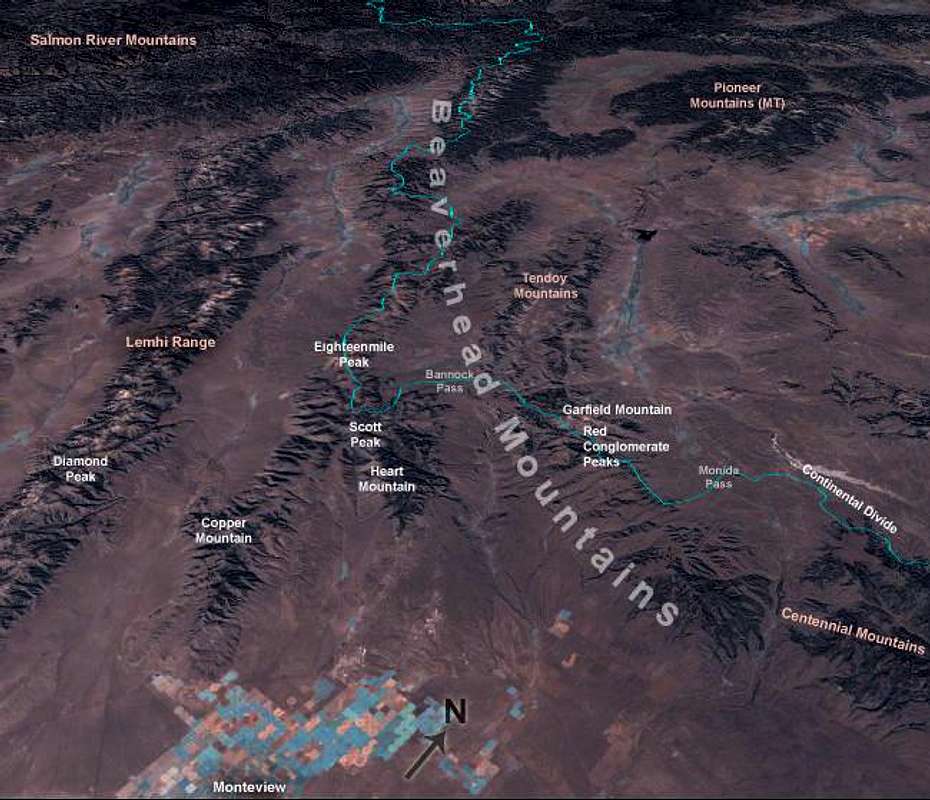
NeatI really like this map, so different but yet really shows where everything is at. I attempted Scott Peak prior to doing Hyndman but I started too late in the day to summit. I got as far as the summit ridge before turning around. Now I know what the peak to the south was, it was Heart Peak.
Viewing: 1-1 of 1


Comments
Post a Comment