Toggle navigation
Mountains
Routes
Images
Trip Reports
Forum
What's New
People
Areas & Ranges
Articles
Trailheads
Canyons
Huts & Campgrounds
Albums
Logistical Centers
Fact Sheets
Lists
Custom Objects
Gear
Plans & Partners
WELCOME TO SUMMITPOST
SIGN IN
REGISTER
South Fork of the Shoshone River
Additional Parents
Image
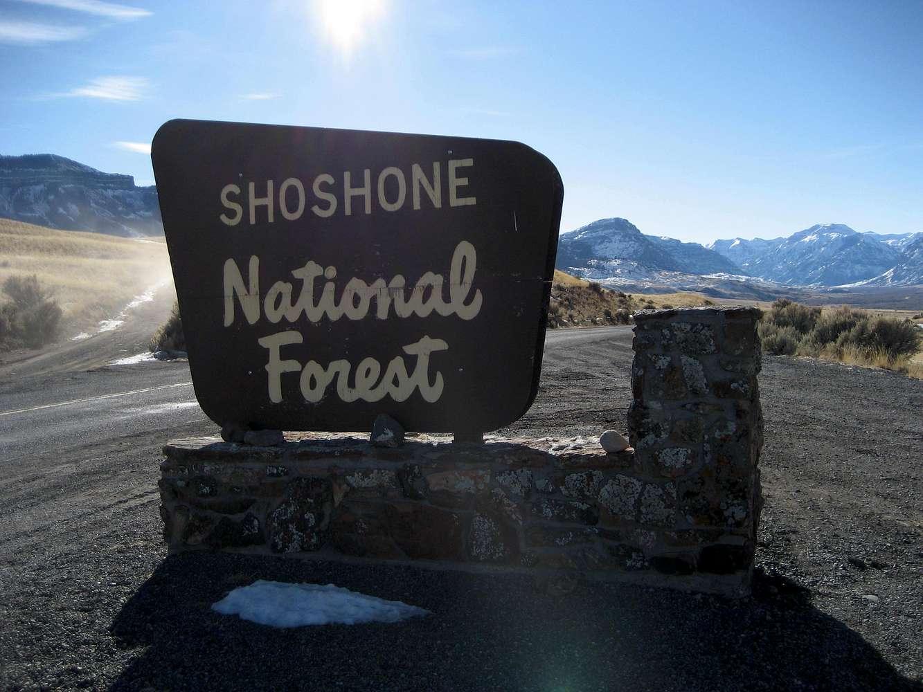
National Forest Sign
View High-Resolution Image
National Forest Sign
The Boulder Ridge highpoint is just right of the sign (10,434 feet) and Peak 11,908 (unnamed on the topo map) is on the far right of the image.
« PREV
NEXT »
musicman82
on
Jan 17, 2009 12:36 am
Comments & voting
Other parents
Image ID:
480748
1185 Hits
0
% Score
0
Votes
Log in to vote
Comments
No comments posted yet.
to post!
Don't have an account?
South Fork of the Shoshone River
(Album)
« PREV
Viewing
#37 of 39
GALLERY
NEXT »
musicman82's Image Gallery
« PREV
Viewing
#1553 of 1585
GALLERY
NEXT »
×
You need to login in order to vote!
User Name
Password
Remember me
Forgot your password?
Log me out when I close my browser.
Keep me logged in all the time.
sign in as a user
Don't have an account?
Register now for FREE
Rating available
Suggested routes for you
People who climb the same things as you
Comments Available
Create Albums
Register Here


