
|
|
Mountain/Rock |
|---|---|
|
|
46.72431°N / 122.08301°W |
|
|
Lewis |
|
|
Hiking |
|
|
Spring, Summer, Fall, Winter |
|
|
3600 ft / 1097 m |
|
|
Overview
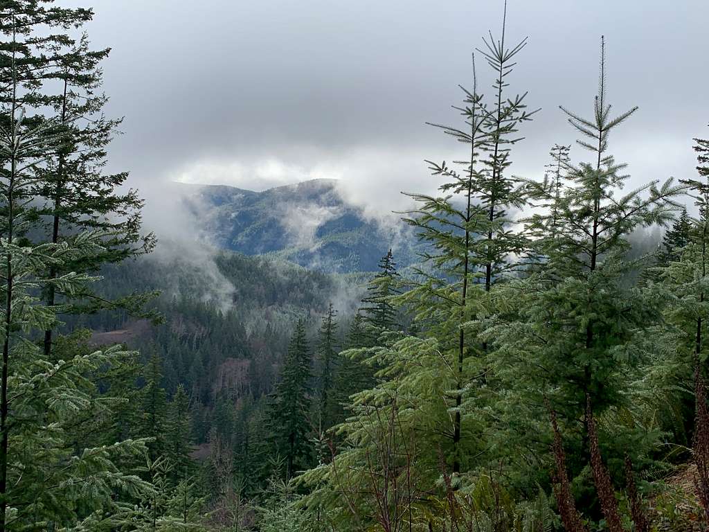 Views of the way to National Lookout
National Lookout located south of Mount Rainier is little known summit. The peak itself is only popular with prominance peakbagger because the peak has over 1000 feet of prominence and has of 2017 there is no major view from the true summit. When clear there is a bit of a southern view from the summit due to the road up. I never experienced it because of the fog high up. On a clear day there are views up toward Rainier on one of the clearcuts. I was able to get one of those views but trees on this peak grow very rapidly so in 5 years I question if the views will be there. That being said this is an active mountain in terms of forestry so there is a chance that more views may open from this peak from time to time.
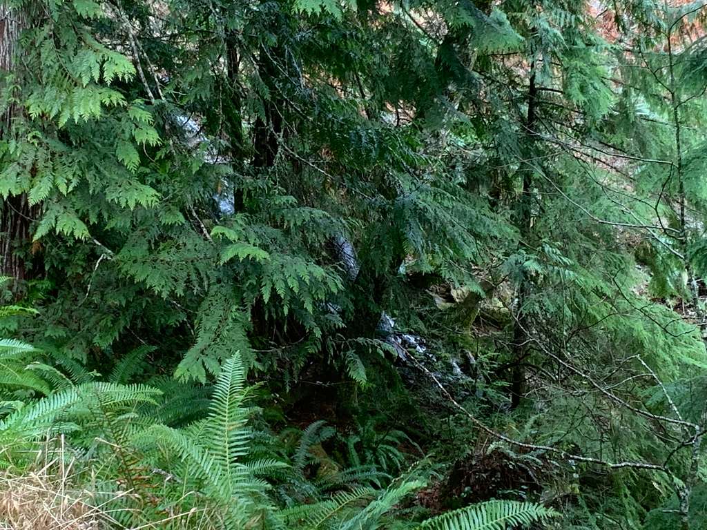 Beautiful Waterfall
You can only see the footers from the top of this extremely wooden summit now but this peak was once home to a lookout tower from 1936 to 1969. In the 1960's now forested summit was of cleared trees. A mere 60 years later trees have grown in with some being well over 60 feet high. There was also a National Aircraft warning station built there during World War 2 as well.
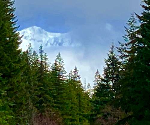 Rainier from the road
Getting There
Take Hwy 706 east Ashford. Make a right on 282nd Ave which will be better marked by church on the other side of the road. You will crossthe Nisqually River on the road and stay on it until you run into a T intersection with a sign pointing to the left toward the Sno-park. Make a right instead and go 2.3 miles to the high part of road. You will then run into a road split. Make a right here to the likely gated location. The road is marked as a special disabled hunting location. This will be where you will start your 4 mile 1100 feet of gain hike.
Route

National Lookout is a road walk. There are two routes to the summit and each have some views from the clearcuts. One route is one way 4 miles and 1100 feet of gain and the other is 3 miles and 1100 feet of gain. This mountain can be done in winter and in some ways would be a great snowshoe during a colder winter. Snow is often gone by April and when we there during an El Nino winter there were only patches of snow left on the peak. Do not consider bushwhacking to cut off mileage here because the forest are young, thick and contain severe undergrowth.
Red Tape
I saw no red tape here. One thing though is that could change from time to time because this is a working forest and clearcuts are routine on this mountain.
When to Climb
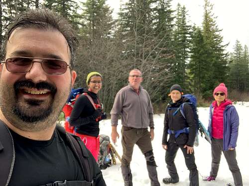
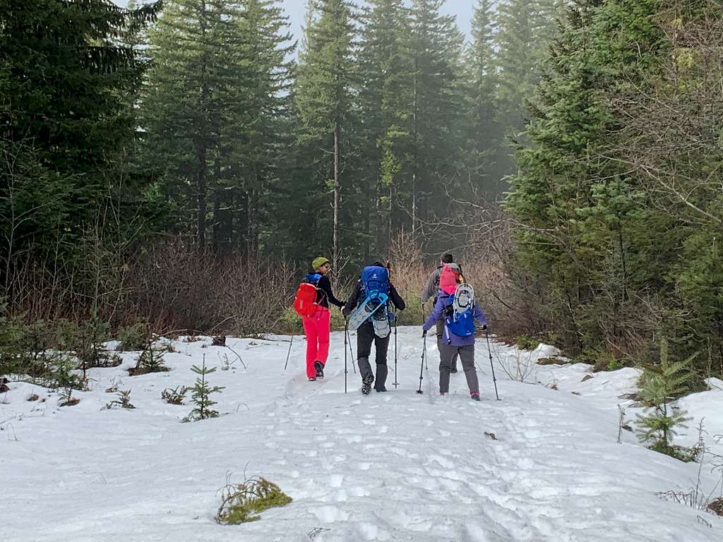 Ideally you want to do this peak as snowshoe but this was the only area we encountered snow on the entire trip!!!
You can go up this mountain at any time of the year. Honestly though this is best as a winter snowshoe and you must monitor the weather and make sure the weather has been below avarage in temperature the past month or your snowshoe might only just be a long boring roadwalk.
Camping
 Our group on the summit area
Technically you can probably camp here anytime provided there is no logging going on in the area. There are no signs prohibiting overnight camping here.
External Links
A Stunning page on this peak from Eric Willhite
National Lookout Peakbagger Page