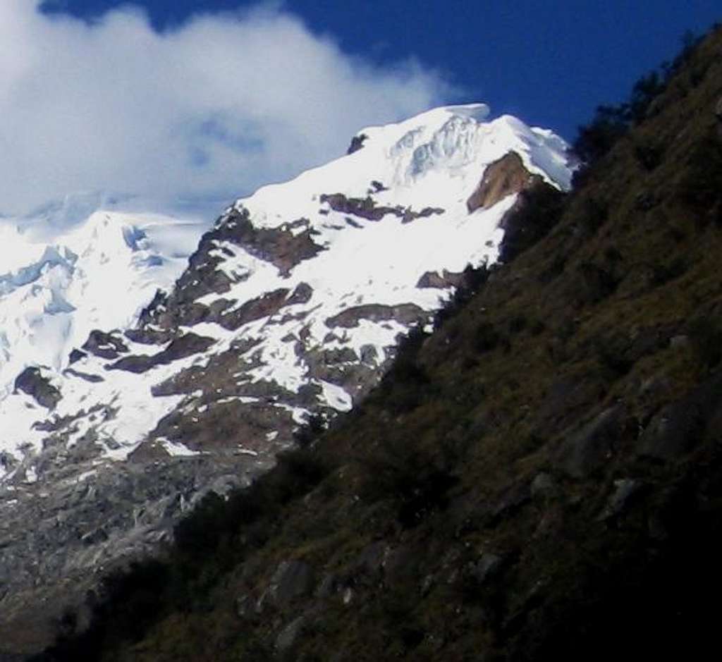
Nevado Jatunmontepuncu (5415m) from Quebrada Cojup
The normal route follows the valley floor for a long time, before heading up the slopes on the right. Cairns mark the way to Huapi pass, and you can follow them for a while. However, well below the pass you'll have to find your own way up the glaciated slopes to the SW ridge.
I had ascended from the other side, then came down this way. Occasionally, I could follow an old trail.
The true summit isn't visible from here, but it's just minutes behind what appears to be the highest point. It's blocked by a big bergschrund, which I passed on the left. Coming down, I descended on the glacier right next to that rocky triangle on the right. Pretty easy.
By the way, without the clouds, this would have been a very different photo: the massive bulk of Pucaranra would have dominated the scene on the left half.
19 June 2011.


