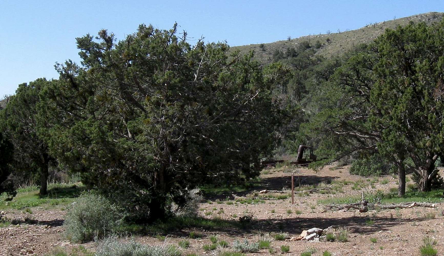
At the 5340' level, we found an old campsite with the shell of an old truck. A BLM sign mentioned a ATV loop track. We continued up the road another mile to an elevation of 5840 (which according to a DPS report we had, was where we'd leave the road at the site of another old camp). We ended up going straight up some class three stuff to get on the ridge and knew we had not found the correct way up.
5-1-11


