
|
|
Mountain/Rock |
|---|---|
|
|
39.72571°N / 119.99712°W |
|
|
Washoe |
|
|
Hiking |
|
|
Spring, Fall, Winter |
|
|
6815 ft / 2077 m |
|
|
Overview
Located on the southwest side of the Petersen Range, Peak 6815 is a very accessible summit just within the Nevada State Line. The peak is on federal lands and there is easy access from just off of US 395 in Cold Springs. A road enters a wide canyon and goes right up towards the peak. Reaching the summit requires about a third of a mile of off-trail hiking. However, it isn’t too difficult. Once on top, views are excellent, particularly to the west. The view to White Lake in Cold Springs is an added bonus. Peak 6815 can be hiked all year, but the best times are fall and spring. Winter may have too much snow or mud. Summers are too hot.
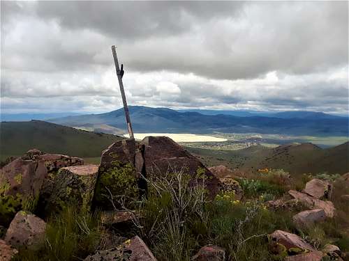 View to White Lake from the summit
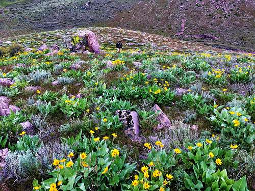 Flowers near the summit
Getting There
Take 395 North to the Village Parkway exit in Cold Springs, located north of White Lake. Get off the highway and take the first left to Cold Springs Blvd. Drive ¾ miles and park on the dirt.Route
Hike a quarter mile and then take a left to avoid private land. The road heads up a hill before descending 200 feet into the canyon. Although it is preferable to take a road on the left that does not require a nearly 200-foot descent, that road is on private land and the owners are hostile. Once in the canyon, it is 1.4 miles until the road starts climbing. The road heads up to the left and climbs steeply gaining 350’ in about 0.4 miles at which point there is a Y-junction. At this point, the summit is right in front of you. Either route can be used to reach the summit. The easiest way is probably to take the left junction. The road continues up towards a saddle between Peak 6815 to the north and Point 6629 to the south. Once at the saddle, hike off-trail up the steep slope gaining about 420’ in a little over a third of a mile.
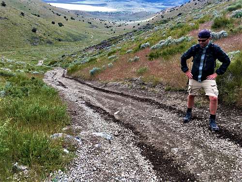 Hiking up the first steep section