Toggle navigation
Mountains
Routes
Images
Trip Reports
Forum
What's New
People
Areas & Ranges
Articles
Trailheads
Canyons
Huts & Campgrounds
Albums
Logistical Centers
Fact Sheets
Lists
Custom Objects
Gear
Plans & Partners
WELCOME TO SUMMITPOST
SIGN IN
REGISTER
Pearl Peak
Additional Parents
Image
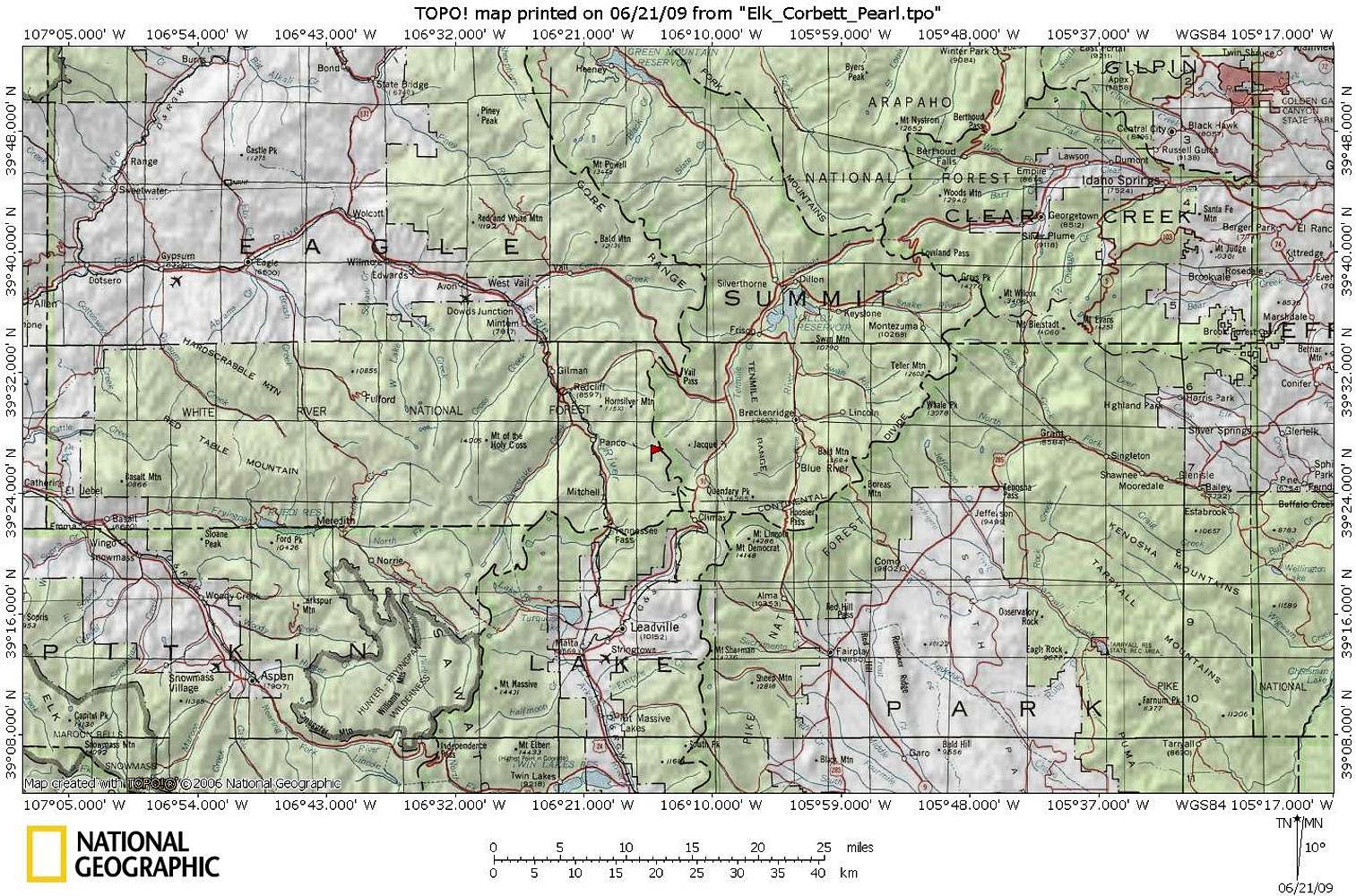
Pearl Peak Area Map
View High-Resolution Image
Pearl Peak Area Map
Pearl Peak sits in Eagle County, just west of the Summit County line. Roughly eight miles south-southwest of Vale Pass, Pearl Peak juts off of Elk Ridge as part of a southern spur of the Gore Range.
« PREV
NEXT »
Sarah Simon
on
Jul 16, 2009 9:37 pm
Comments & voting
Other parents
Lat/Lon:
39.44400°N / 106.2463°W
Image Type(s):
Topo/Diagram
Image ID:
530371
1579 Hits
71.06
% Score
1
Votes
Log in to vote
Comments
No comments posted yet.
to post!
Don't have an account?
Pearl Peak
(Mountain/Rock)
« PREV
Viewing
#12 of 13
GALLERY
NEXT »
Sarah Simon's Image Gallery
« PREV
Viewing
#4350 of 5480
GALLERY
NEXT »
×
You need to login in order to vote!
User Name
Password
Remember me
Forgot your password?
Log me out when I close my browser.
Keep me logged in all the time.
sign in as a user
Don't have an account?
Register now for FREE
Rating available
Suggested routes for you
People who climb the same things as you
Comments Available
Create Albums
Register Here


