-
 1730 Hits
-
 81.84% Score
-
 14 Votes
|
|
Mountain/Rock |
|---|---|
|
|
46.56621°N / 11.77294°E |
|
|
Trentino Alto Adige |
|
|
Trad Climbing |
|
|
Spring, Summer, Fall |
|
|
6070 ft / 1850 m |
|
|
Overview
Pitl Ciampanil de Val
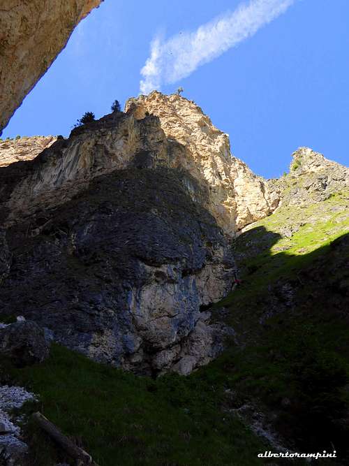
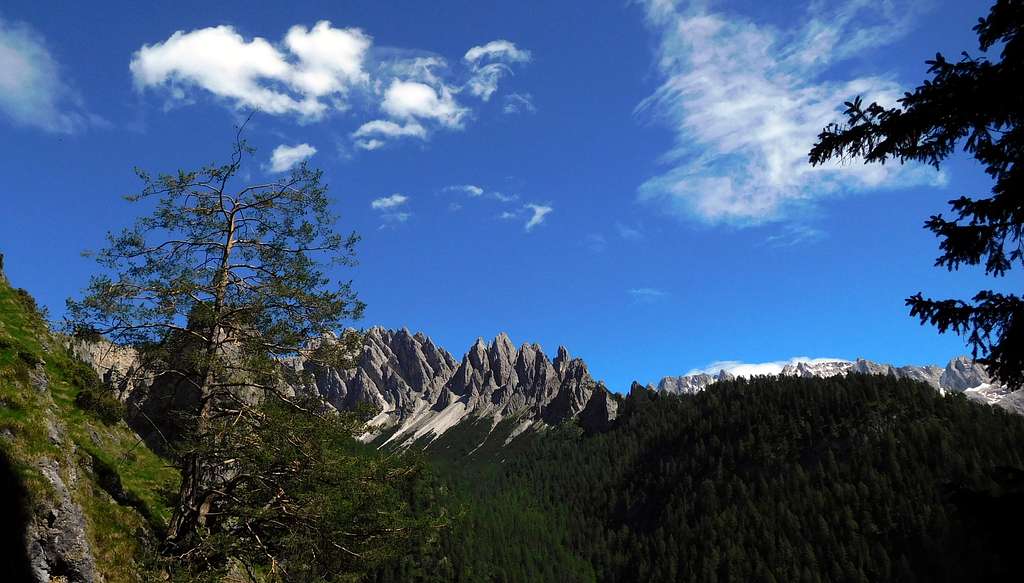
Pitl Ciampanil de Val - a name in ladin dyalect meaning "Little needle of the Valley" - is a minor but stunning needle located on the left side (right orographical) of the Vallunga a lateral valley of Val Gardena. The needle belongs to the Monte Stevia subgroup and is part of a small group of peaks, together with Ciampanil de Val and Monte Steviola. The needle has a difficult and repulsive appearance with a yellow and overhanging wall South oriented, along which, however, it is possible to identify a logical climbing line on which it runs an interesting route, Carpe Diem.
Getting There
The starting point to climb is the Vallunga, near Selva di Val Gardena, a village located in the namesake valley. Road access to Selva and Vallunga
- From Trento and Bolzano: Take the Brennero motorway, exit Bolzano North, then follow the road leading to the little town of Ponte Gardena. From here take the road entering Val Gardena, pass Ortisei, Santa Cristina and reach Selva. From heredrive on the road entering Vallunga until the end of the road.
- From Brennero : Take the Brennero Motorway towards South, exit Chiusa and here follow the roadway joining the Val Gardena road, pass Ortisei, Santa Cristina and reach Selva.From here drive on the road entering Vallunga until the end of the road.
Walking approach to Pitl Ciampanil de Val
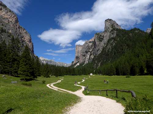
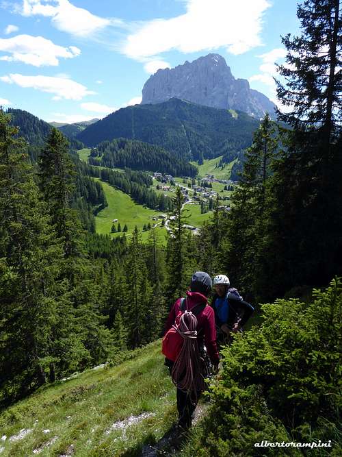
The approach is the same as the Ciampanil de Val. From the Vallunga car park - where the it begins the Puez-Odle Nature Park - take the path that passes to the left of Baita La Ciajota. Continue along the Via Crucis road, follow it to the right for about 20 meters, then head left following a track in the wood (small cairns) leading to a gully with grass that divides the Ciampanil de Val on the left from the Pitl Ciampanil de Val on the right. Without going up the gully follow a grassy slope to the right, leading briefly to the attack (0.30 hours).
Route Carpe Diem
Carpe Diem report (UIAA scale)
Summit altitude: about 1850 m
Difficulty: Alpine TD+, UIAA max VII-, obbl. VI
Route length: 210 m
Exposure: S First ascent: Ivo Rabanser - Armin Senoner 2001, October 1
Starting point: Vallunga parking lot
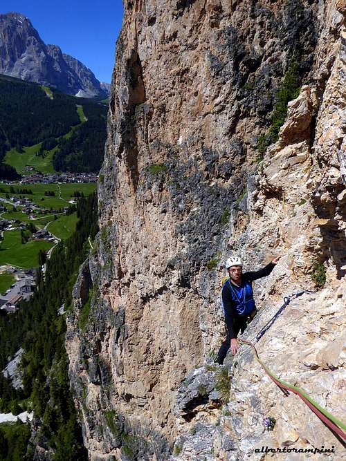
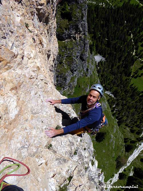
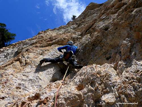
Short climb, but concentrated and intense. There are no easy stretches and climbing is often athletic. The route has not a lot of pegs, so you need good resistance and intuition to find the best passages. Rock at times good and solid, in short sections a little friable.
L1 - Grassy ramp slanting right, to the base of the yellow wall III, 50 m
L2 - Slanting left, VI-, 25 m
L3 - Shallow dihedral, little wall and overhang, rock a bit crumbling, VI+, 15 m
L4 - Overhang, VI+, VII (or A0), 20 m
|
|
L5 - Oblique right, VI, 15 m L6 - Yellow wall, VI+, 25 m
L6 - Another yellow wall, then a red slab, VI+, VII (A0), 25 m
L7 - Chimney-crack, then easier rock, VI, 35 m. Belay on the summit meadow. Briefly on the little summit. Cairn and summit-book
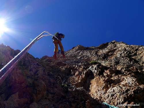
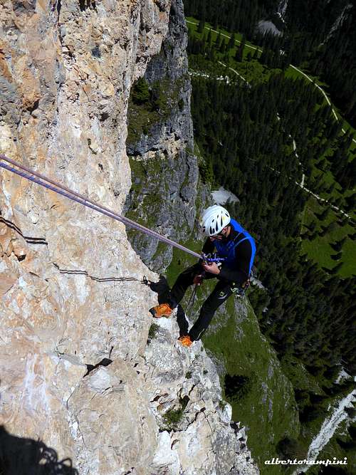
Descent: abseiling the route
Red Tape
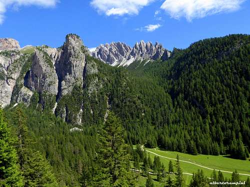
No fees no permits required. Pitl Ciampanil de Val is situated inside the Natural Park Puéz-Odle, extending for 9400 hectares and entirely belonging to the province of Bolzano. This area is one of the nine mountain systems of the Dolomites acknowledged as UNESCO World Heritage Site.
More info about here on Summitpost: Dolomites living mountains by Silvia Mazzani
When to Climb
From May to October, the favorable exposure (South) makes climbing possible even in late spring and early fall.
Where to stay
Selva di Val Gardena and surroundings offer different possibilities for overnight stays.
Meteo
Guidebooks and maps
"Val Gardena" - Tabacco 1:25.000


