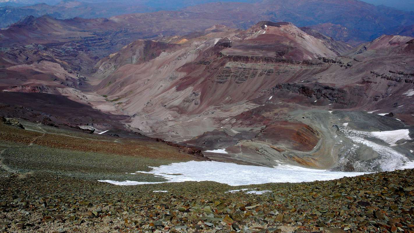
Looking south on most of the Cerro del Plomo route.
Somewhat to the left, near the greenish spots deep down in the Estero Cepo valley, is the Piedra Numerada base camp (approx. 3400m). The route then follows this valley to La Hoya (or La Olla; approx. 4200m), which is hidden by the moraine at the far right of the picture. From this moraine, the track is clearly visible on the picture (especially when viewing the photo at its original size), going first to the newly rebuilt Refugio Agostini (the red dot near the center of the picture; 4620m), and then in steep hairpins (mostly hidden) to the easy traverse at the far left. From here it is less than two hours to the summit, with, immediately beyond the Pirca del Inca burial site, a short glacier crossing.
El Pintor (approx. 4200m) can be seen in the background.
03/08/2010 12:06:24


