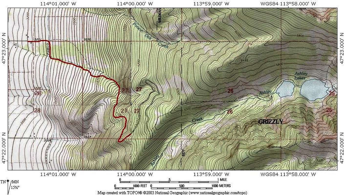
Overview of the access road, and trailhead. This map (all maps) are incorrect in the location of parking area/starting point (see text for elaboration). Red line is hand copied from the one map I was able to find showing the dirt portion of the access road. All other maps leave the road out—showing no connection from the end of the Red Horn paved road (upper left) to the relatively short, meandering, section of road that meets the dashed line indicating the Ashley Lakes Trail. While the dirt road does take you to the parking area, and the Ashley Lakes Trail goes to the lakes, the parking area/trailhead is NOT located as shown on the map. This situation is covered extensively in the Route text.


