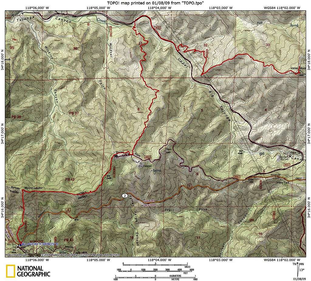
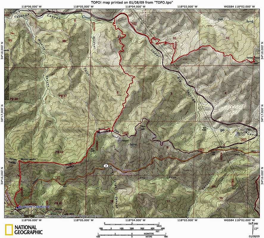
Red Box to Vetter Mountain TOPO
National Geographic's TOPO map of the hike from Red Box to Vetter Mountain (Red Box - Mount Lawlor - Barley Flat - Alder Creek Trail - Upper Tujunga Canyon Road - Vetter Mountain Southwest Ridge - Vetter Mountain). We hiked from the summit of Vetter Mountain back to the Charlton Flat parking lot by the Vetter Mountain Trail (my GPS ran out of batteries after we summited). January 2009


