
|
|
Mountain/Rock |
|---|---|
|
|
39.85502°N / 119.99067°W |
|
|
Washoe |
|
|
Hiking, Scrambling |
|
|
Spring, Fall, Winter |
|
|
7110 ft / 2167 m |
|
|
Overview
Red Rock Benchmark is the south summit of the Petersen Mountain range. At 7,110’ it is far lower than the Petersen Mountain High Point, however, it is more accessible.Adorned with rock piles, the ridge heading up towards Red Rock Benchmark is quite surprising. It is easy to find your way up the slope and well worth the views that are available the entire way up the ridge.
The views are excellent from the summit as well. The area is wide open with views to the desert to the east and the forest to the west.
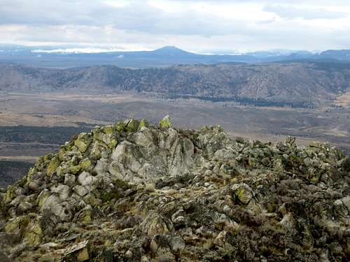
View from Red Rock Benchmark west into California
The Petersen Mountain Range does get snow in winter, but it can be possible to hike in winter months. March, April, October, November are the best months to hike in the range.
Getting There
There are two ways to reach the trailhead for Red Rock Benchmark. From Reno, head up US 395 towards Susanville. Enter California and drive about 17 miles to the Red Rock exit. Drive for about 2 miles on Red Rock Road and turn right on Rodeo Drive. Drive 1/3rd of a mile to the end of the road. You can also take a longer scenic route up Red Rock Road from the south. This is only slightly longer, but probably takes 10-15 minutes longer to drive. In this case, you turn left on Rodeo Drive.The end of Rodeo drive is on BLM land, but only has space for a couple cars. 4WD is recommended to get further up the road, where you can have many more cars.
Route Information
From the end of Rodeo Drive, take the main road for a little over ½ mile. 4WD are recommended to park here. Take the road on the left that climbs very steeply up towards the ridge. It gains 300’ in less than ¼ mile. Once at the top of the hill, continue on the road for almost a mile. There is a fork where the road continues straight or heads to the right. Stay straight. After ¼ mile, the road ends. A trail sign emerges. The elevation here is 5,965'. From there, you take an old overgrown road for about 1 1/2 miles all the way to the base of the summit.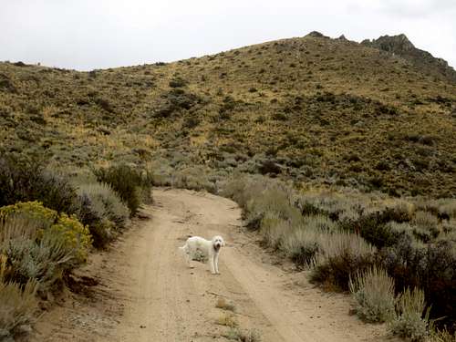
Heading up the road
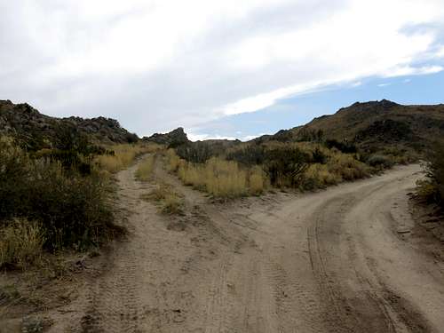
Take road to the left to reach the trail
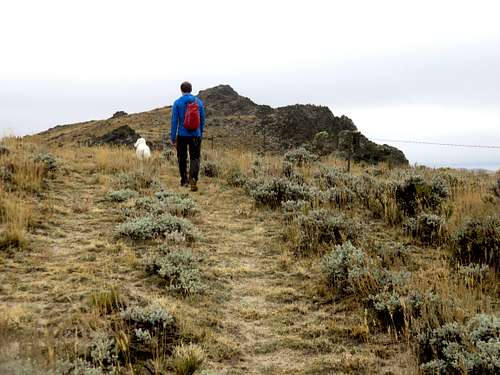
Heading towards the summit block
If starting from Rodeo Drive is about 3 ½ miles to the summit, gaining over 2,400’. If driving up the 1/2 mile to the start of the steep road, it is 3 miles and gaining over 2,150'.