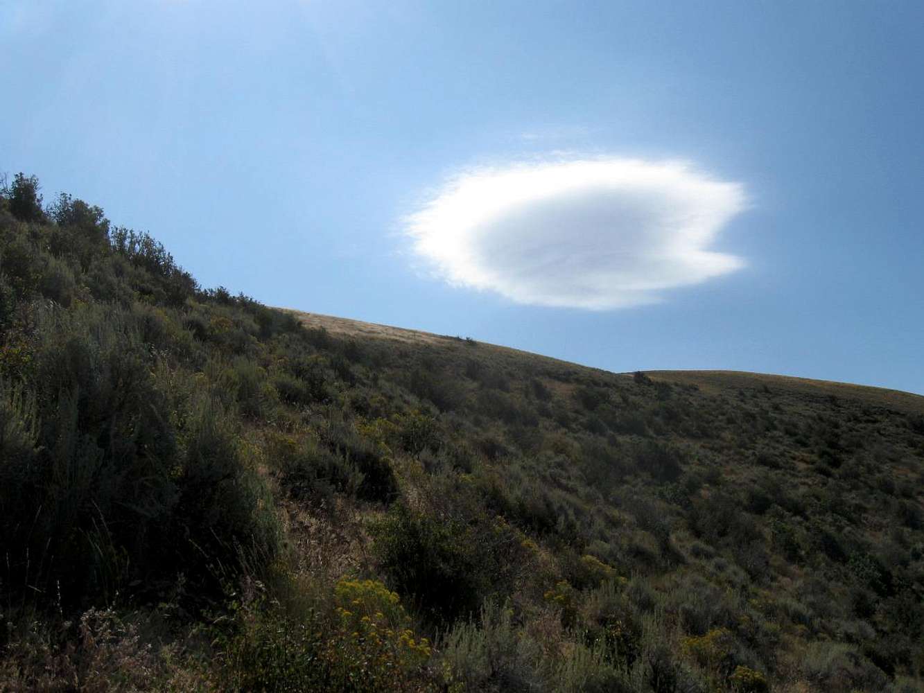
After I left the trail (road) down at the spring, I made my way up towards a shoulder overcoming some steep slopes and brush on the way but when you come around the shoulder, you see what appears to be a ridgeline above. The summit itself is to the left of the solo cloud you see in this pic. The
remainder of the way is easy hiking. My GPS took me right to the summit which makes it kind of like finding a geocache only in this case it is a peak and a benchmark.
9-7-09


