
Comments
No comments posted yet.
|
|
Trip Report |
|---|---|
|
|
34.03586°N / 114.51819°W |
|
|
Download GPX » View Route on Map |
|
|
Feb 14, 2024 |
The Riversides form a small desert mountain range that rises on the western banks of the Colorado River in southeast California. The range is roughly 5.5 miles north-south by 3.2 miles east-west. The highest point rises to 2254 ft (1950 ft above Colorado River 3.5 miles away). The high point can be reached by hiking up a severely eroded abandoned mining road to a 1630 ft saddle and then struggling up a steep talus field.
Hike Length: 5.1 miles
Starting Elevation: 550 ft
Highest Point Reached: 1920 ft
Total Ascent: 1680 ft
February 14, 2024
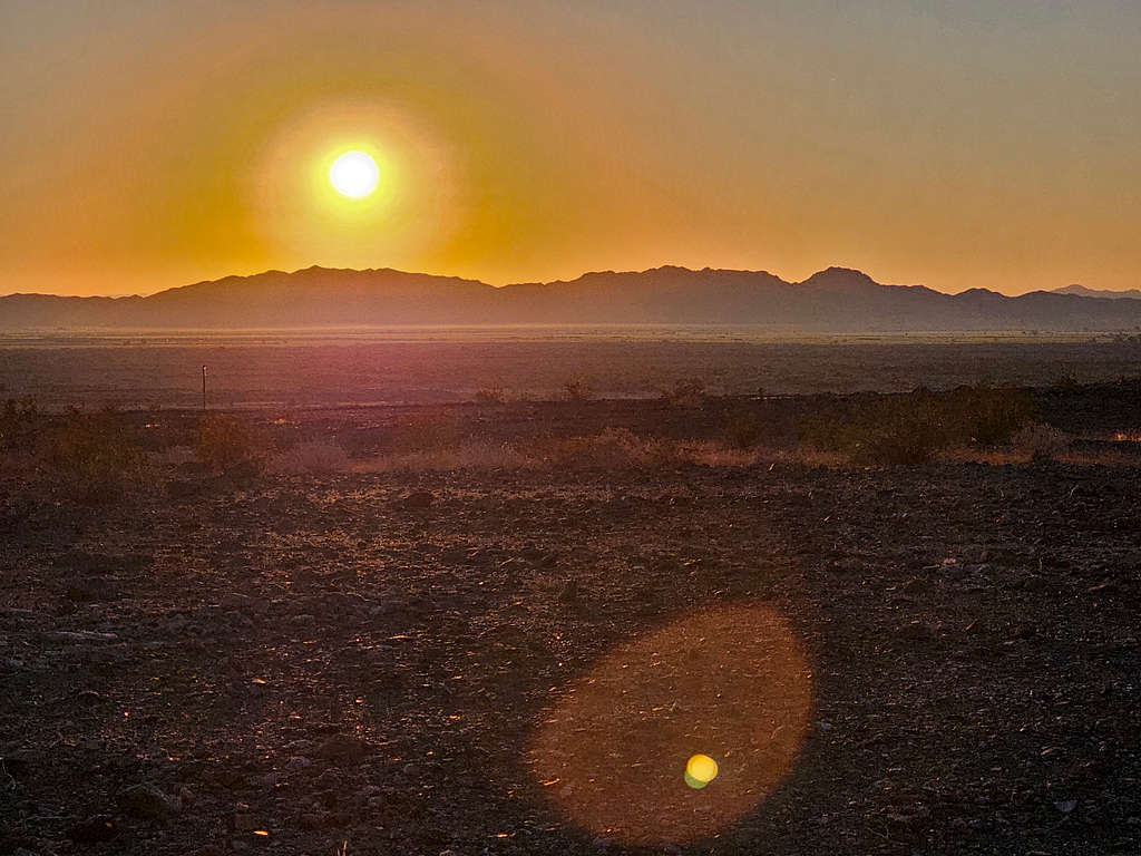
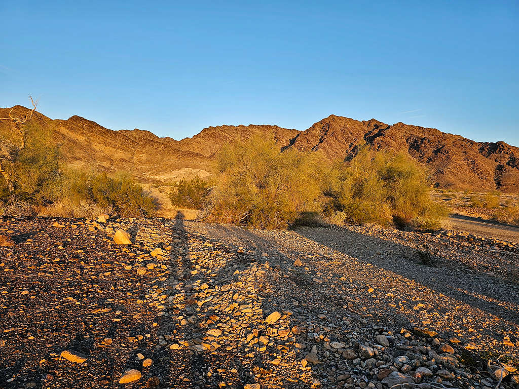
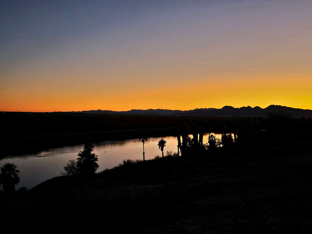
Left the vacation rental house in Big River, California around 6 AM (sunrise 6:30). The bulk of the Riverside Mountains rose above the desert plains as I drove south on US Highway 95. At the junction of Agnes Wilson Road, I turned west onto a nameless dirt road that was well graded and went toward the mountains. After 2000 ft, a faint two-track branched on the left. I wanted to get further away from the highway, so I drove a little more and then parked at a nondescript spot.
Started my hike at 6:45 AM. Elevation was 550 ft. Looking southeast at the Mesquite mountains of Arizona.
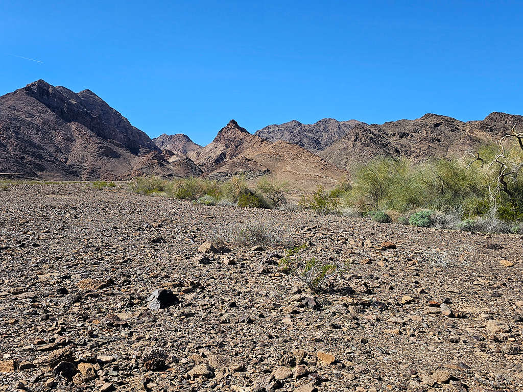
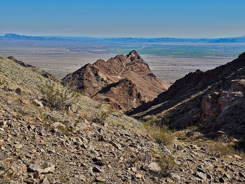
Looking toward the Riverside Mountains. Right to left: Main summit, Point 1494 ft (sharp), Middle Peak and Point 1963 ft.
Points 1597 ft and 1688 ft to the northwest.
Went a short distance south until I reached the two-track then began to follow it southwest toward the mountains.
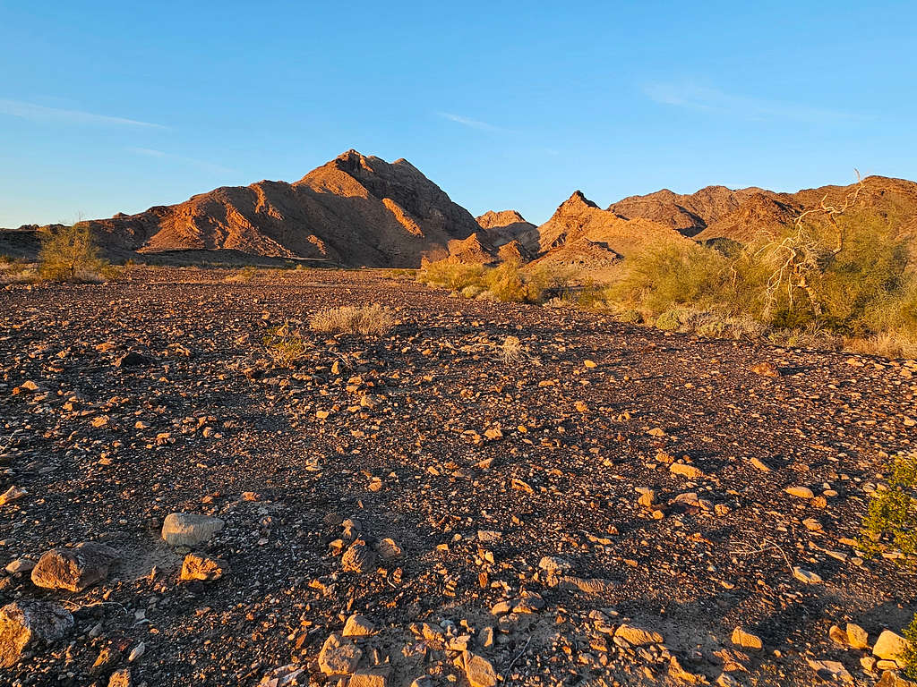
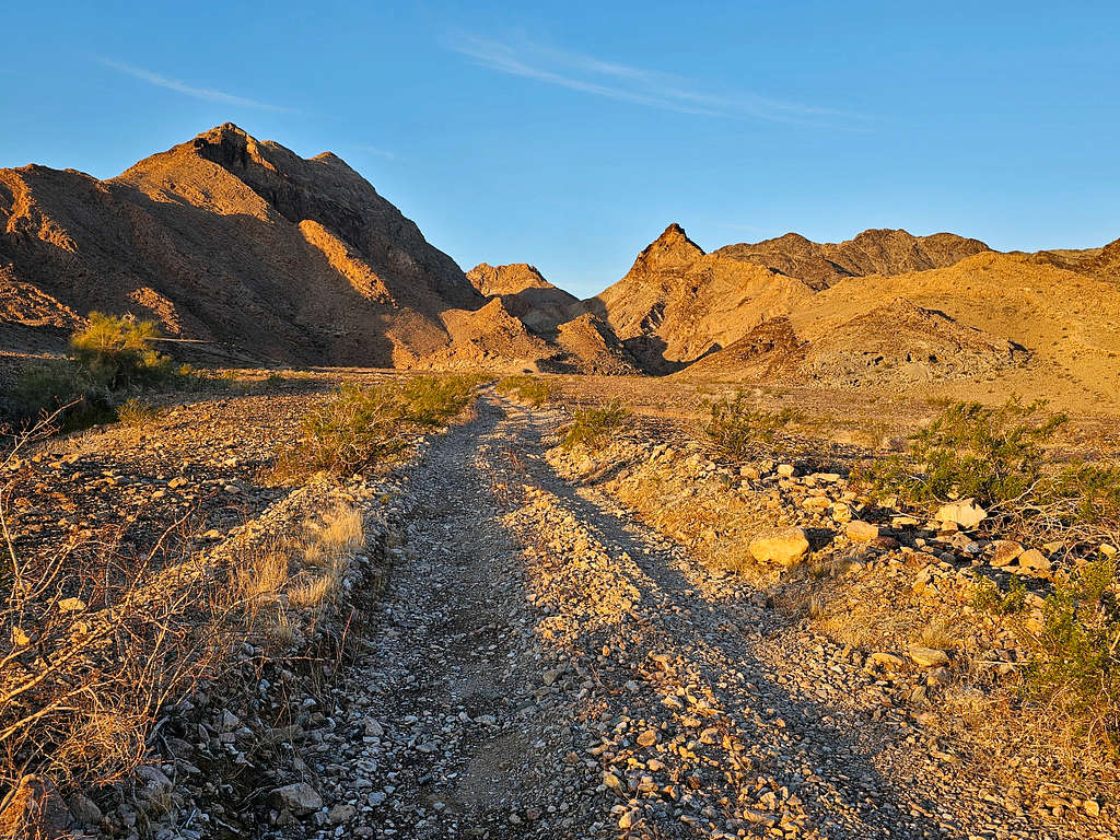
After 0.5 miles, at an elevation of 675 ft, I reached an abandoned mine at the base of the mountains.
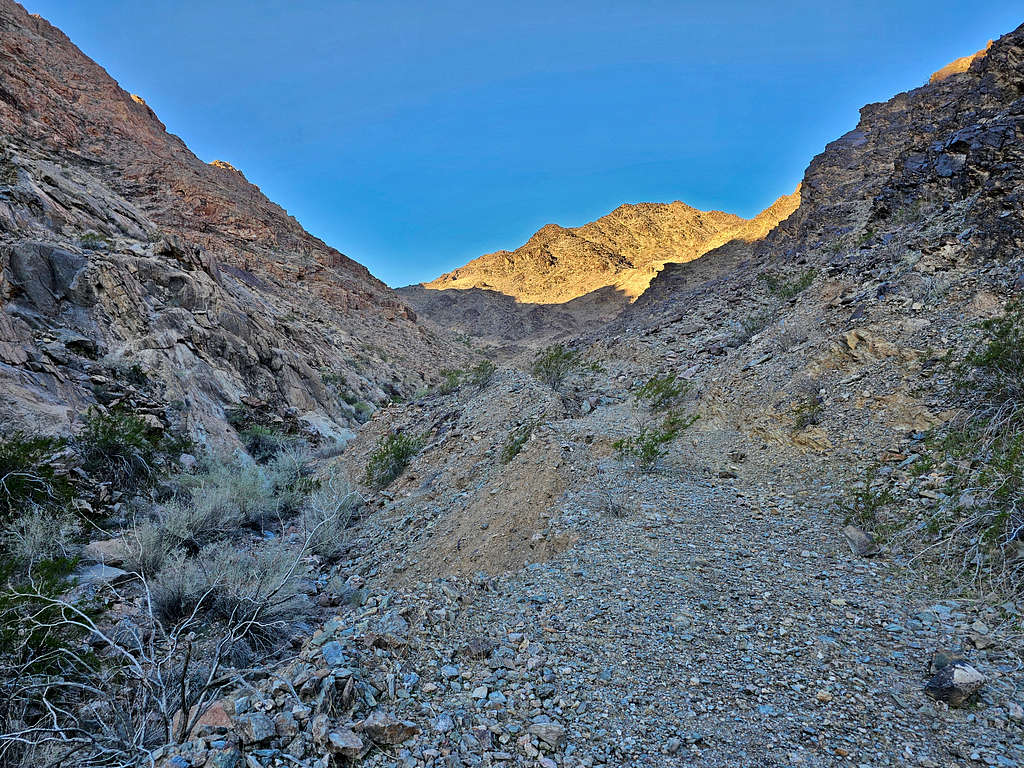
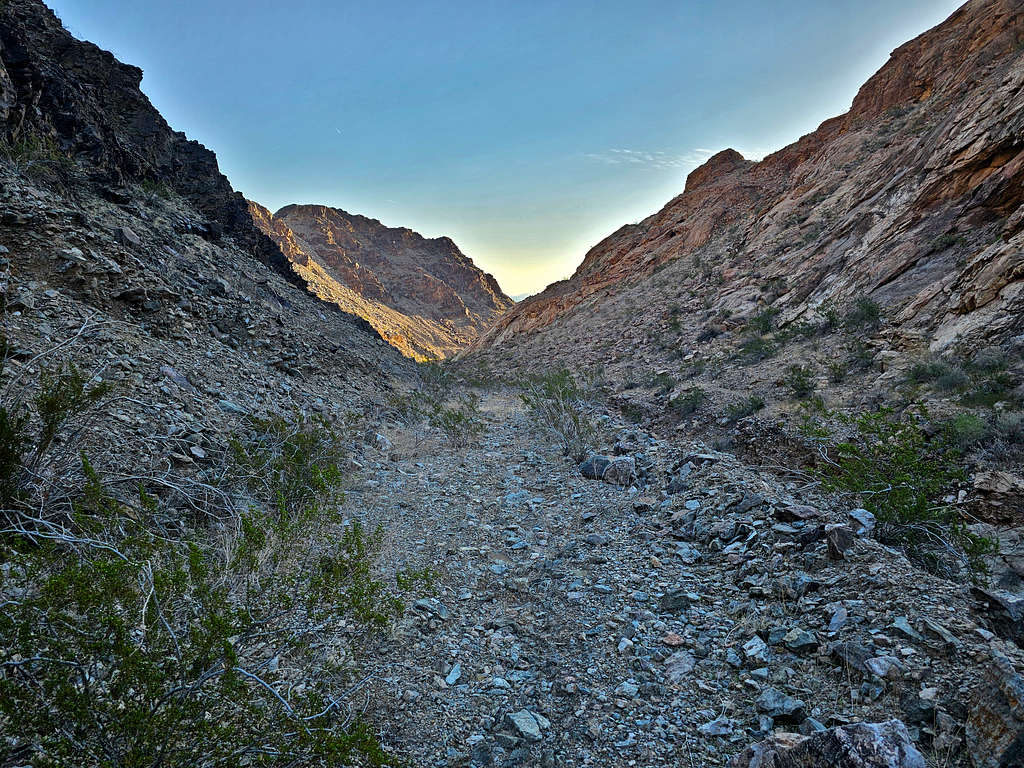
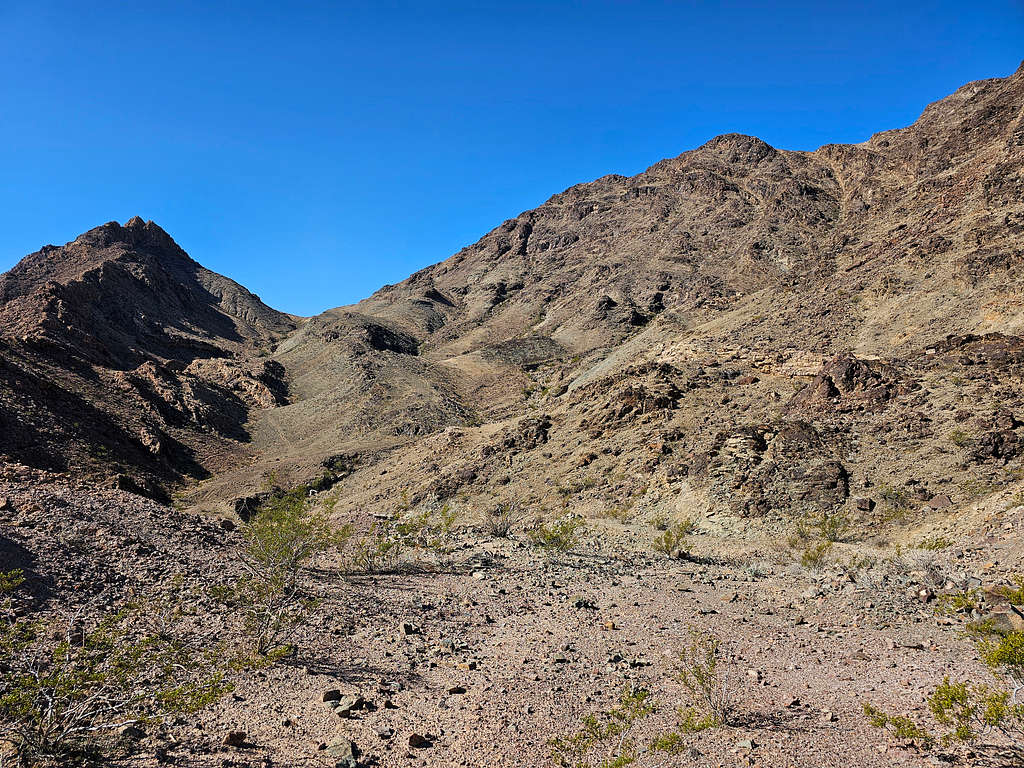
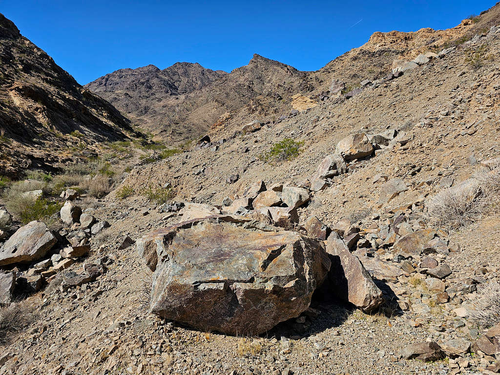
The two-track then entered a mountain valley and began to go up in elevation. In many places, the two-track was severely eroded or covered by rockslides, but it was generally easy to hike. I later realized that a trail paralleled the two-track on the other side of the valley.
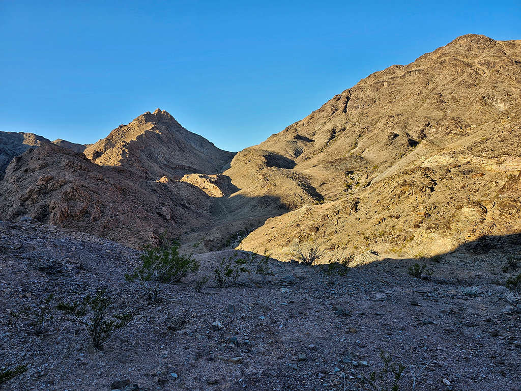
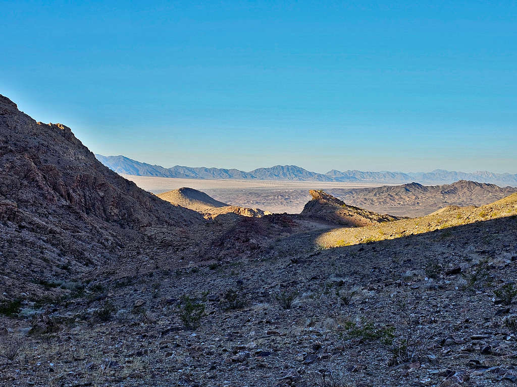
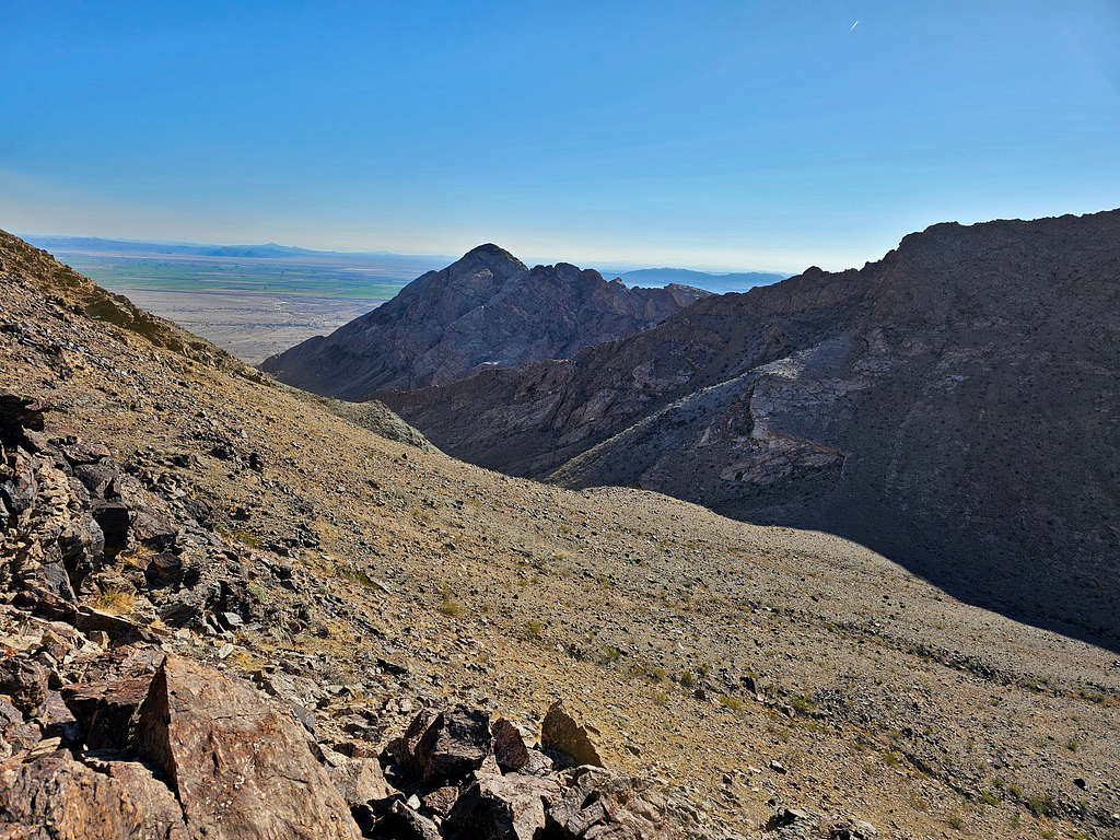
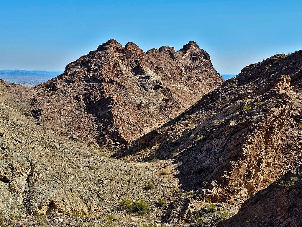
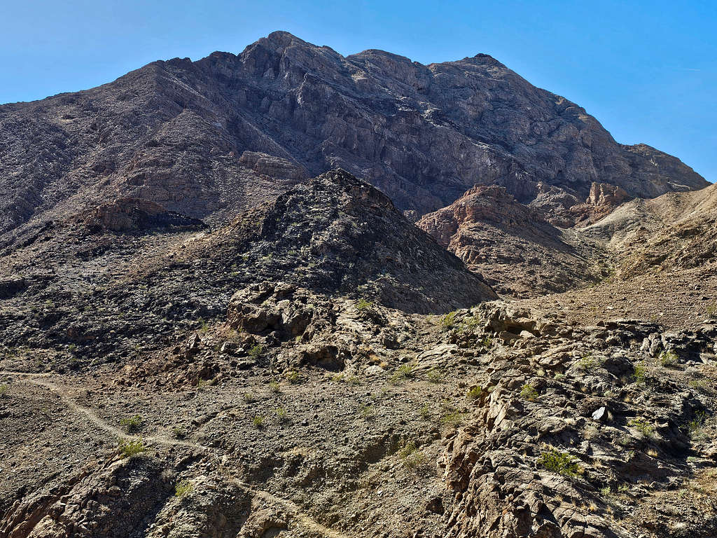
After a crazy steep section and 1.5 miles, at an elevation of 1280 ft, I reached a saddle. The middle peak of the Riverside Mountains and the next saddle where I needed to go came to view.
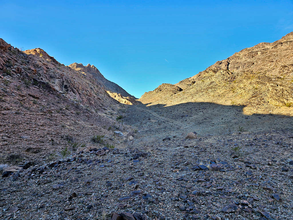
The path went down around 100 vertical feet and then began to go up again toward the 1630 ft saddle.
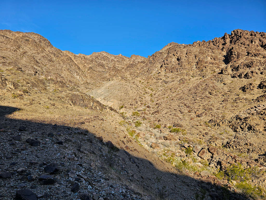
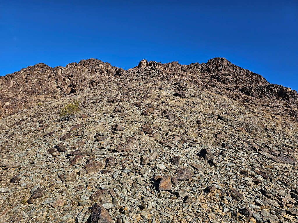
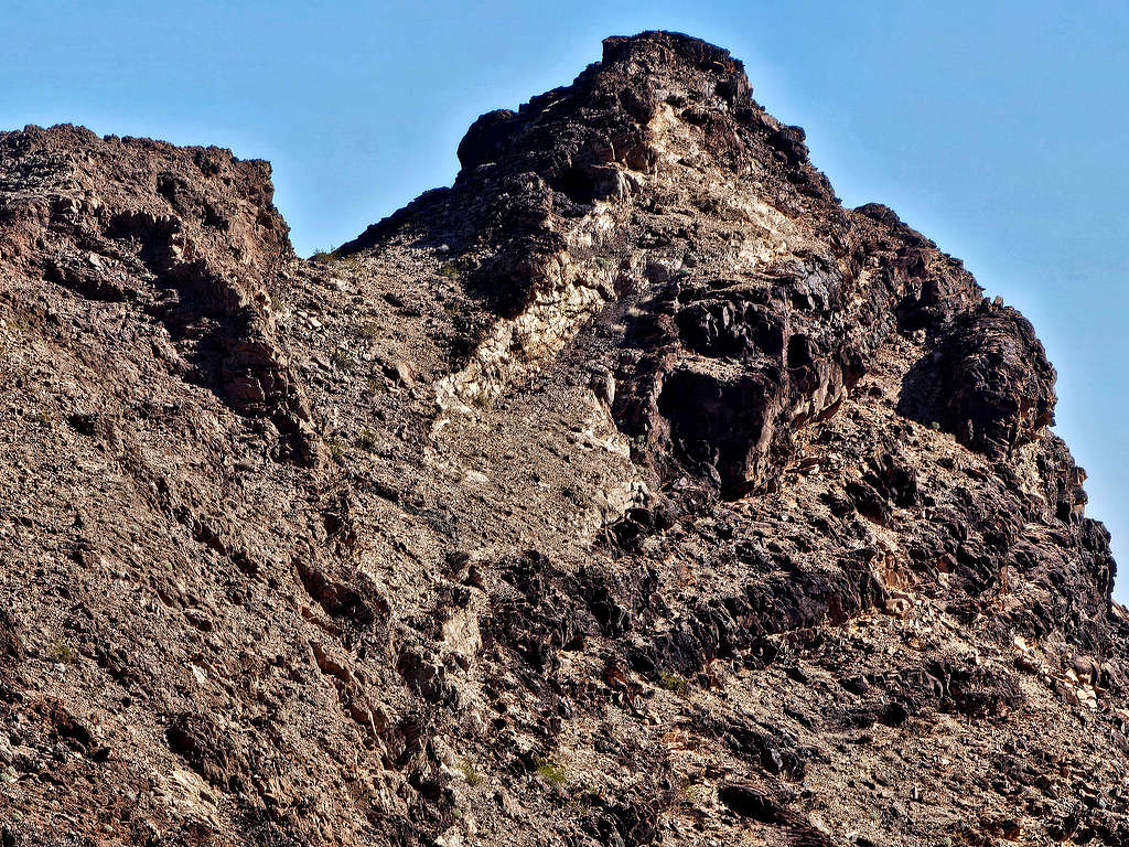
Slopes of the summit.
Looking back at Point 1494 ft.
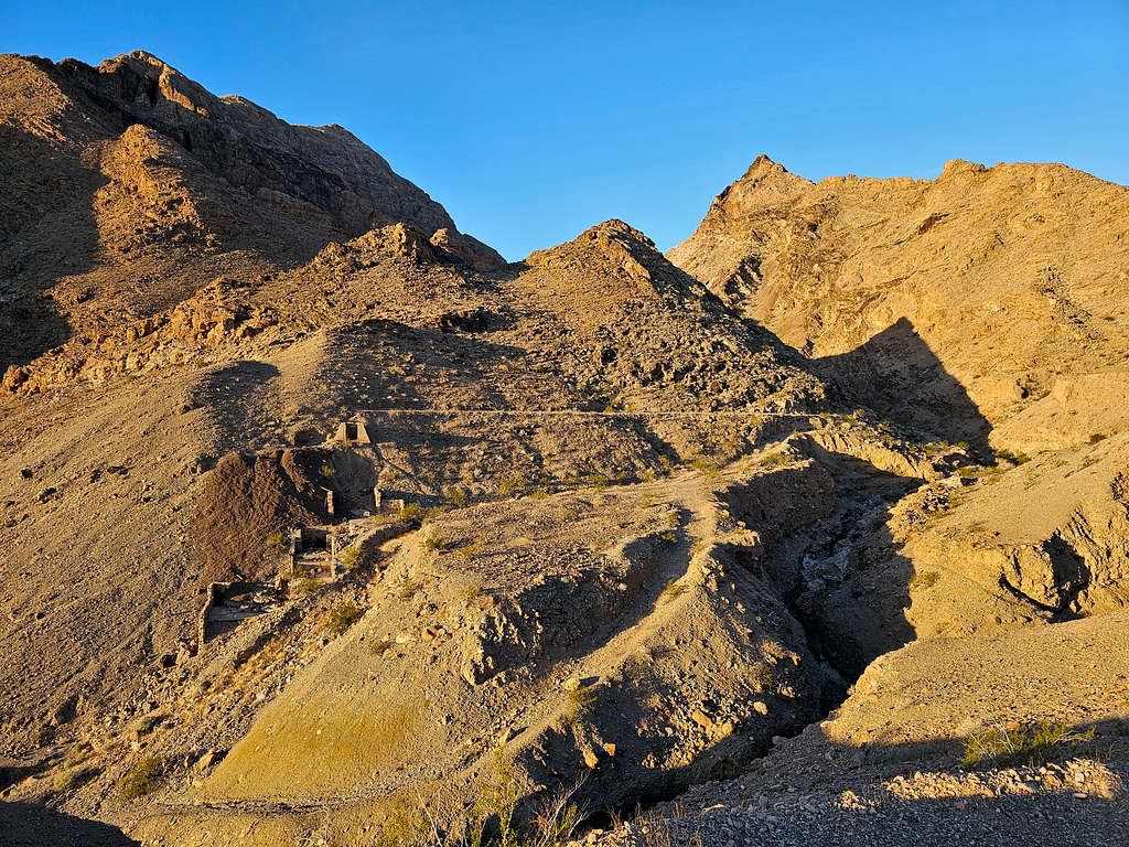
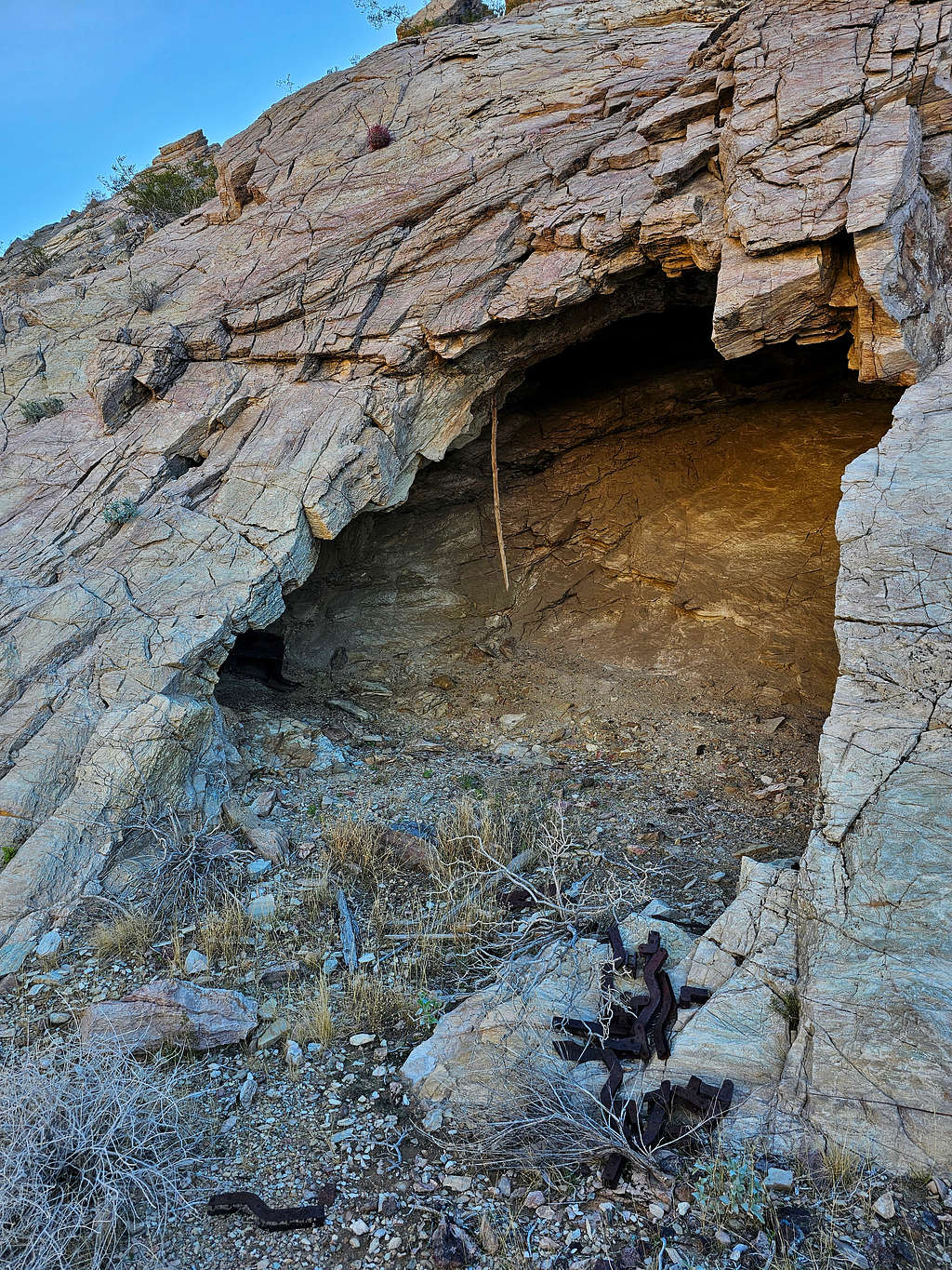
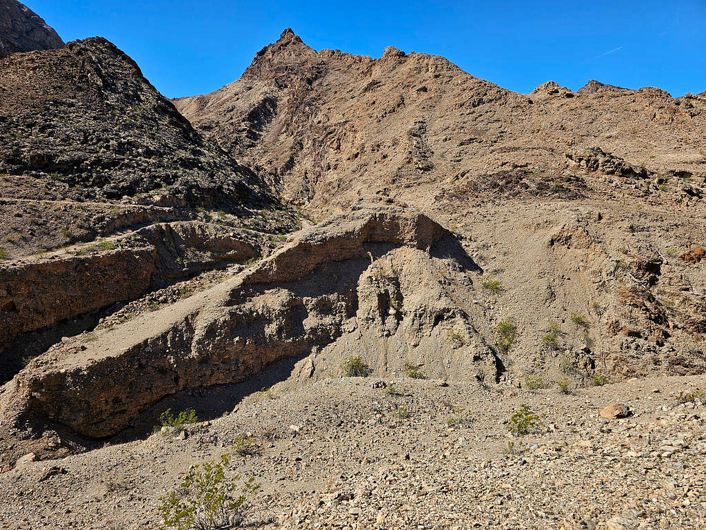
Just before the saddle, I went to a cave which seemed to house a lot of old mining junk.
At 8:24 AM, and 2.27 miles, I reached the 1630 ft saddle. Slopes of the summit to the northwest.
Looking southwest at the West Maria Mountains.
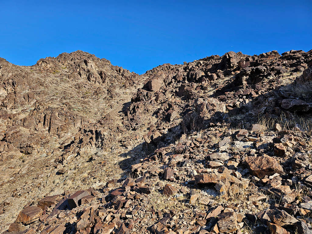
The slopes above the saddle were steep scree fields that seemed to lead to rocky areas and cliffs.
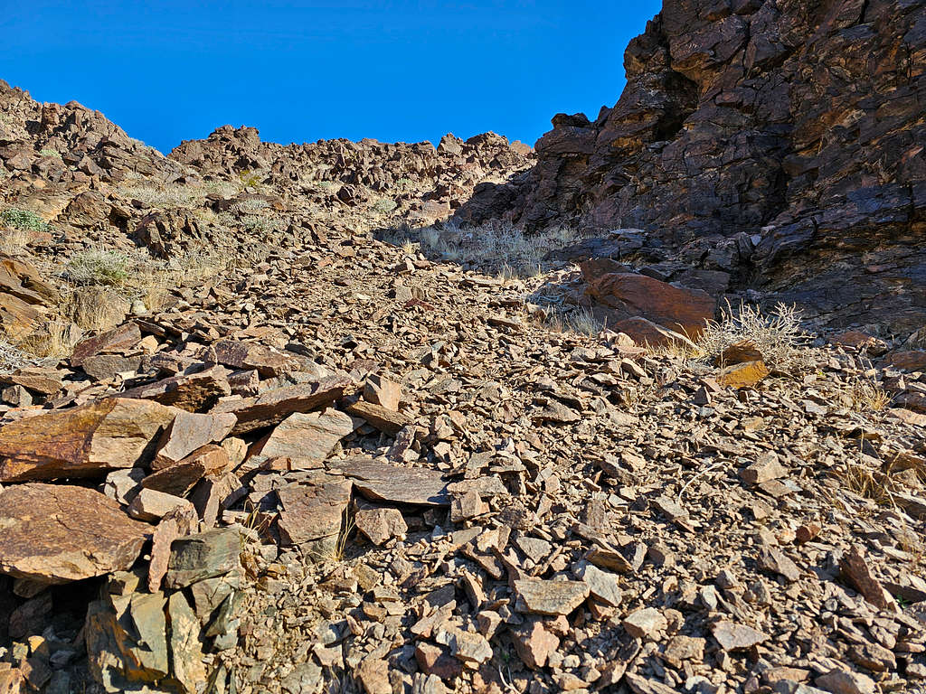
I veered left going beyond a ridgeline of sorts, but those slopes turned out to be probably worse. I was struggling up steep nasty slippery scree fields and the rocky parts above the scree fields did not look promising. The sun was feeling hot (although in reality it was fairly cool).
Looking down the nasty slopes toward the Maria Mountains.
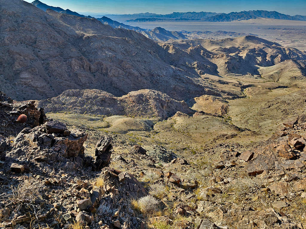
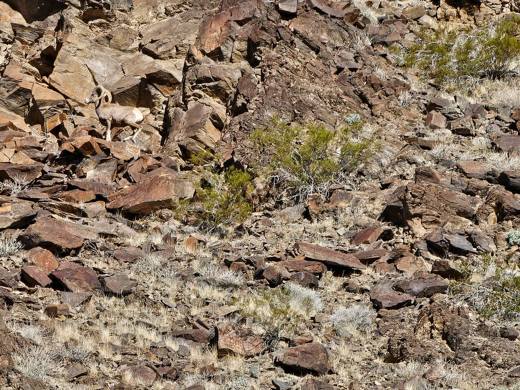
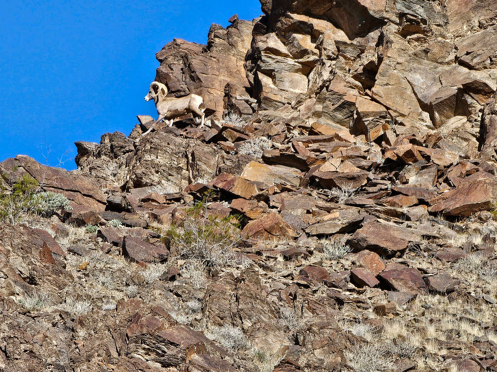
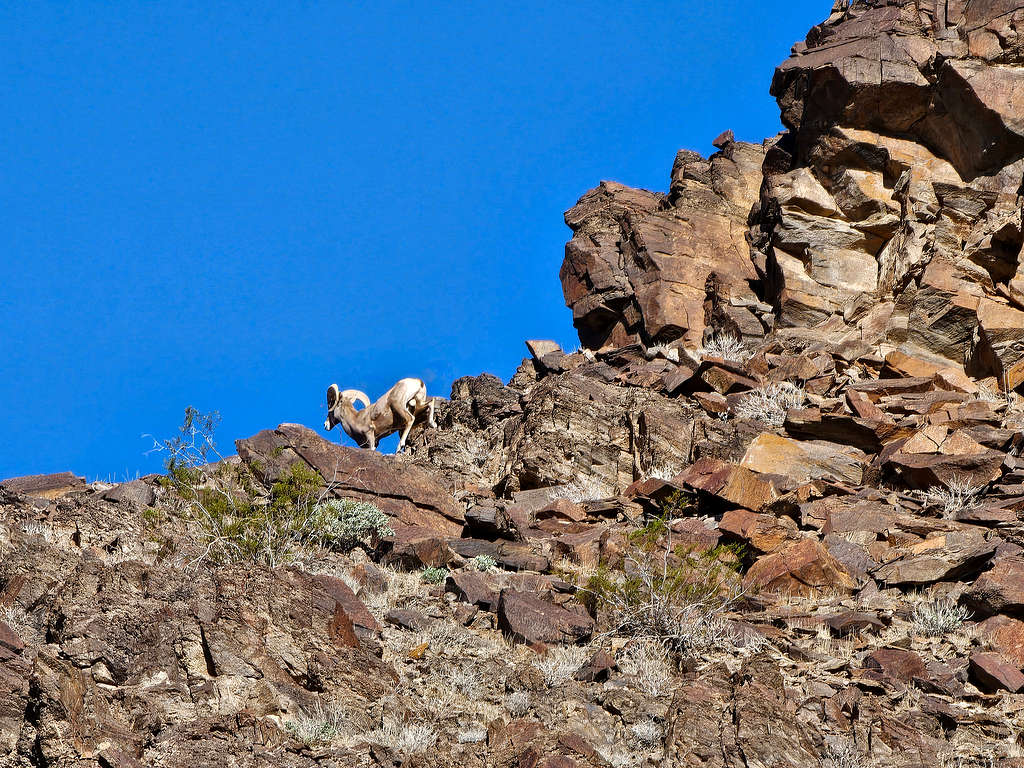
Zoomed view of Big Horns on the upper slopes.
At an elevation of 1920 ft, I decided that I did not want to deal with the nasty slopes anymore, so I turned around going back toward the 1630 ft saddle. The saddle and Peak 1963 ft seen.
Maria Mountains.
Point 1494 ft.
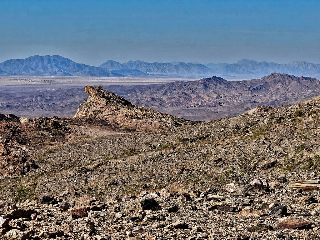
An interesting formation to the southwest of the 1630 ft saddle. The Maria Mountains also seen.
At 9:11 AM, I sat at the saddle to eat and rest. I was actually feeling cold. Then began to hike down the way I had come. Point 1494 ft appeared as a dramatic peak.
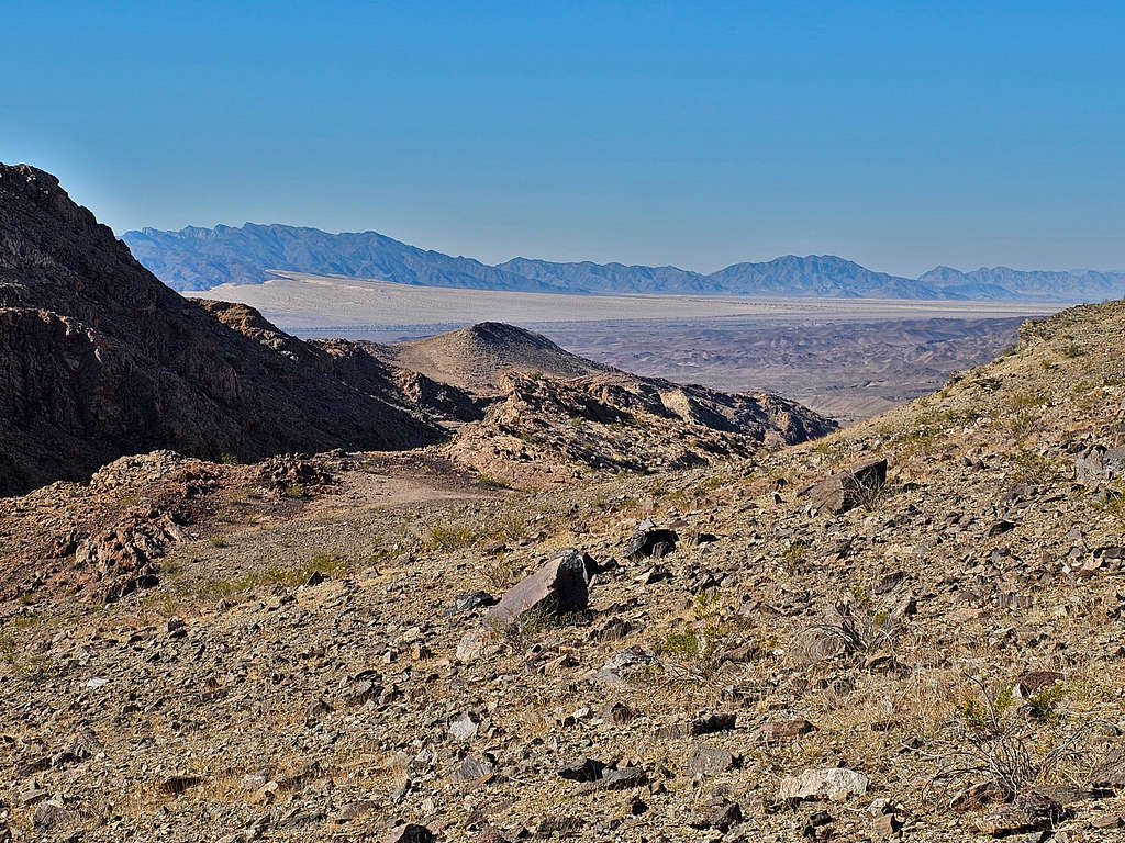
Followed the path down to the 1280 ft saddle. Looking back at the 1630 ft saddle and the Middle Peak.
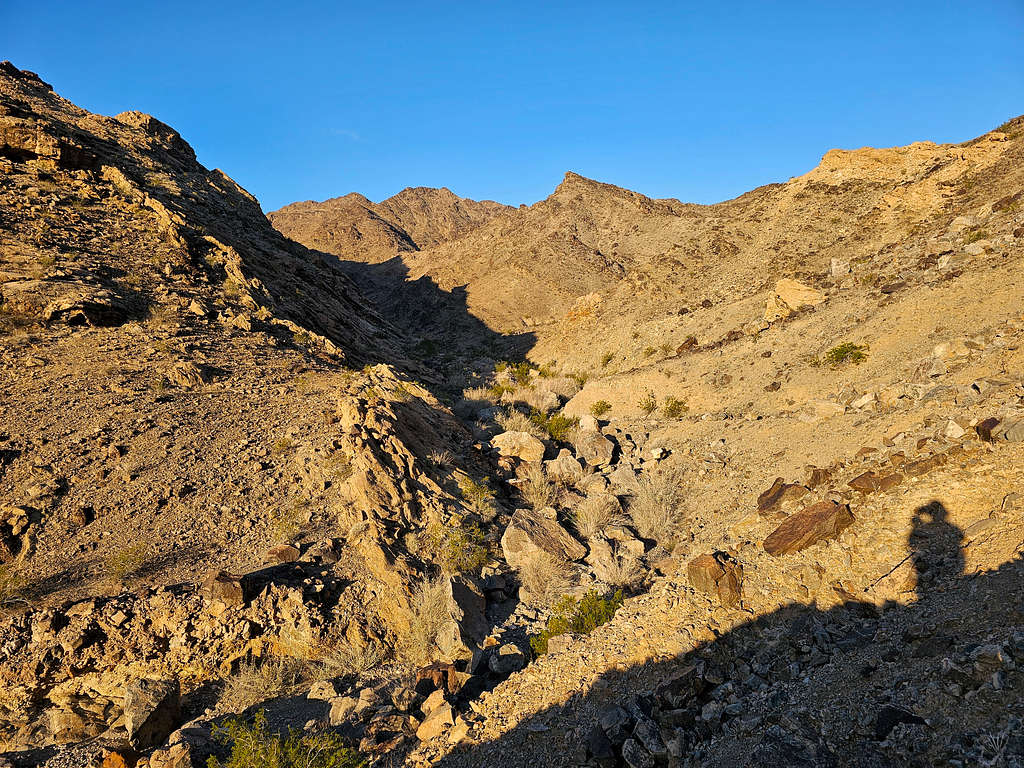
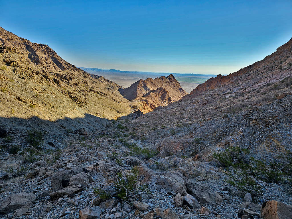
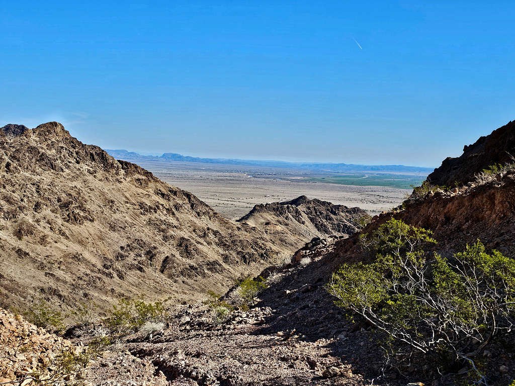
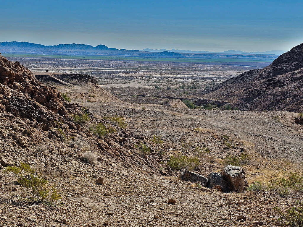
Looking down the drainage and the plains to the east.
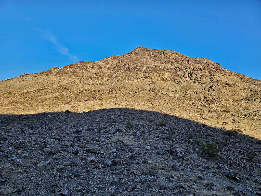
Rockslide over the road. Summit seen.
Peak 1963 ft.
Looking west at the Mesquite Mountains.
Point 1494 ft from the abandoned mine.
Out of the mountains on the open plain, looking back at the mountains.
Reached the rental Jeep at 10:48 AM.
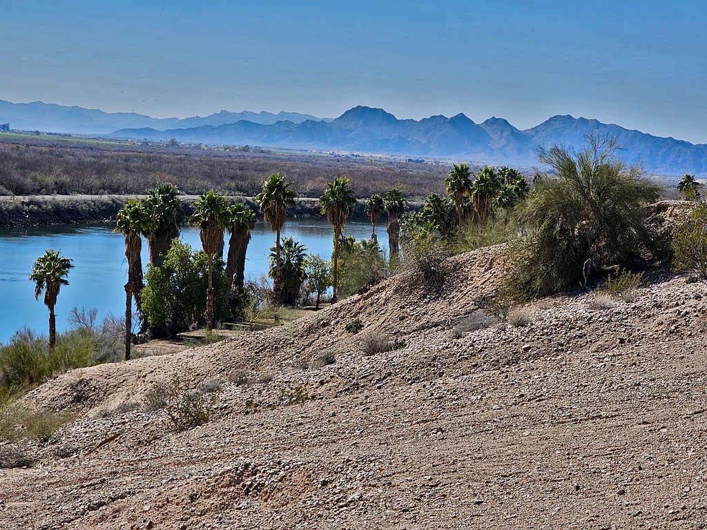
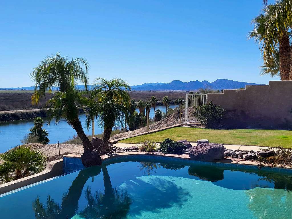
Had the best views of the Riverside Mountains from the backyard of the vacation rental house in Big River, California.