
Getaway to Sawatch Mountain.
US 285 runs for a few miles through the Denver metro area as Hampden Avenue then begins to climb into the Rocky Mountains, mostly following the route of the original narrow gauge transcontinental railroad, skirting the south side of the Mount Evans massif. Once west of Mount Evans, the highway winds its way over Kenosha Pass, elevation 10,001 feet (3,048 m), into the high-altitude South Park basin of Colorado.
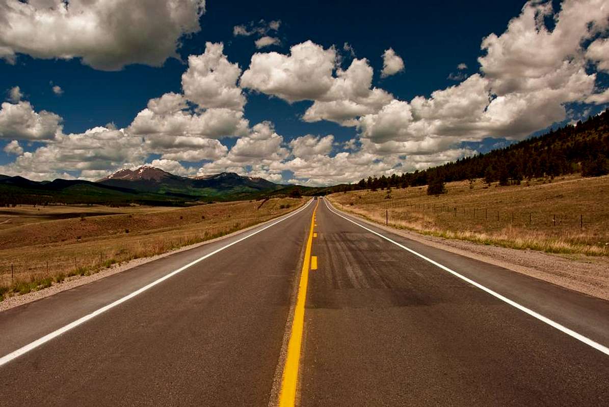
Partway across the South Park, it serves the town of Como, which still houses one of the few remaining narrow gauge roundhouses. The old transcontinental railroad breaks away from US 285 at this point, going northwest over Boreas Pass en route to Breckenridge, the historically rich gold fields of Leadville, and eventually California. US 285, meanwhile, continues across the valley to the southwest, leaving the South Park basin as it climbs over Trout Creek Pass, elevation 9,346 feet (2,849 m), and then drops into the Upper Arkansas River Valley, with a view of Mount Princeton.


