Welcome to SP!  -   
 
 New features are here! - Read More... 
Areas & Ranges·Mountains & Rocks·Routes·Images·Articles·Trip Reports·Gear·Other·People·Plans & Partners·What's New·Forum

ROUTE PHOTO Mary's Rock...

 
[ Sizes: Orig | Med | Small | Thumb ]
 ROUTE PHOTO 
Mary\'s Rock...
ROUTE PHOTO
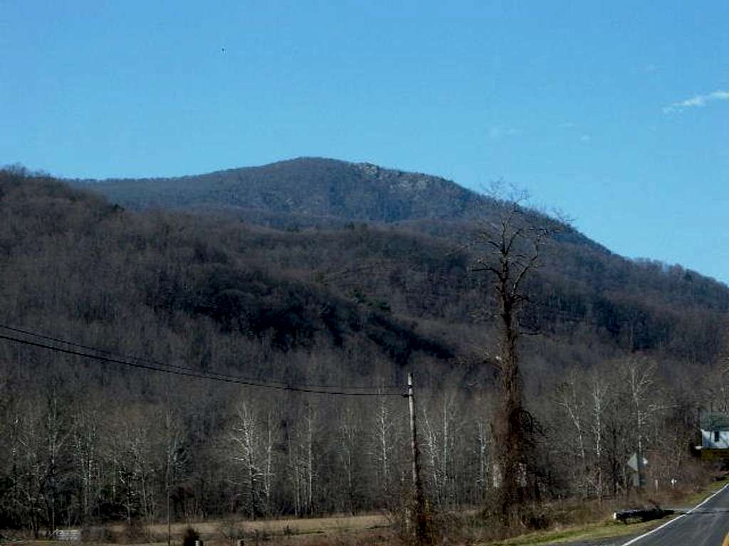
Mary's Rock from route 211 on a clear January day in 2005. Much of the climbing on the Over the Tunnel Bushwhack route took place on the rocks near the top of the mountain. You can see the highest 1300' of the mountain in the photo.


Comments

No comments posted yet.


Sign in to post!

Don't have an account? Register now.


Rate This Image
Current Score: 5.33

Log In To Vote
 Mary's Rock (Mountain/Rock)

The boulder field is pretty...
« PREV

Viewing
#54 of 54
GALLERY

You are at
the Last
Image

 hgrapid's Image Gallery

View from the true summit of...
« PREV

Viewing
#1876 of 2101
GALLERY
The sign to the trail is...
NEXT »


 Over the Tunnel Bushwhack (Route)


Image Data

hgrapidSubmitted by hgrapid
on Mar 12, 2005 11:34 am

Image ID: 94506
Hits: 1574 

Lat/Lon: 38.64970°N / 78.3175°W


"Most people are other people. Their thoughts are someone else's opinions, their lives a mimicry, their passions a quotation."   --Oscar Wilde   

© 2006-2012 SummitPost.org. All Rights Reserved.