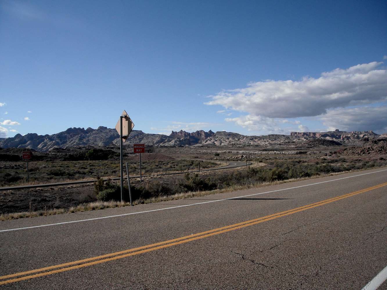
Seen from the beginning/end of Utah Hwy 24, the opening slightly enlarged for I-70 is exactly in the center of this pic with the darker red rocks. More durable sandstone remains on the top, surviving rain and wind erosion. The southbound exit from I-70 joins Utah 24 in the foreground. I-70 makes a large, steep S-curve to ascend the height of the swell. This is all about 9 miles west of the town of Green River, Utah.


