-
 23397 Hits
-
 83.1% Score
-
 16 Votes
|
|
Area/Range |
|---|---|
|
|
46.32101°N / 113.90347°W |
|
|
Hiking, Mountaineering, Toprope, Bouldering, Mixed, Scrambling, Skiing |
|
|
Spring, Summer, Fall, Winter |
|
|
8998 ft / 2743 m |
|
|
Overview
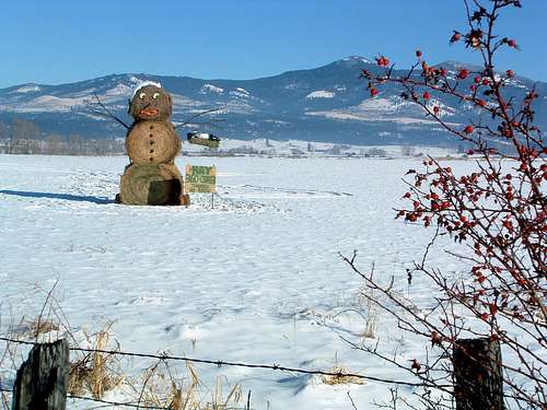
The Sapphire Mountains rise from the earth just east of Missoula, MT, and south of Hellgate Canyon to form the well-known Mount Sentinel (5,158’). The range proceeds south to form the eastern edge of the Bitterroot Valley before butting up against the Pintlers. The highest point of the range is the summit of Kent Peak at 8,998’ (46.06346 N – 114.79213 W) . Though typically not as high in elevation as the nearby Bitterroot Mountains, many other summits and ridgelines in the range reach above 8,000’.
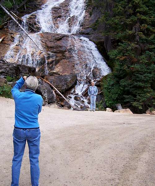
Possibly the most recognized spot in the Sapphires (outside of Mount Sentinel) is Skalkaho Falls which lies immediately beside the Skalkaho Road as it crosses the mountains between Hamilton and Georgetown Lake.
Unlike its neighbors to the west, the Bitterroot Mountains, the Sapphire Range has long been penetrated by an extensive road system, put in place to enable logging of the forests which once completely covered these mountains. Logging activity is no longer as pervasive as it once was; but now, due to the relative ease-of-access, the Sapphires are a popular destination for snowmobiles and 4-wheelers.
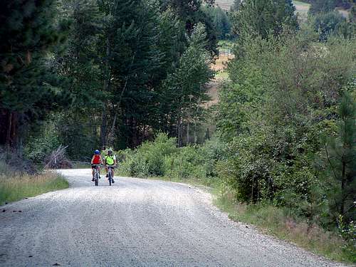
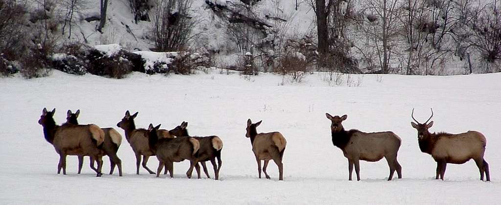
There is also a rather high number of trails piercing these mountains. This further increases ease-of-access and makes the area very attractive to hunters. But in spite of this large number of hunters who frequent these mountains every fall, the Sapphires support large ungulate populations. Because of past logging practices (and wildfire activity), the forest cover is interspersed with many meadows and brush covered areas, both of which provide easy pickings for breeding populations of deer (both mule and white-tail), elk, and moose.
The ungulate populations are so strong in fact, that they support two (known) packs of wolves year long, and a pretty large number of hunters each fall. No matter what you or I may think of the ethics of big game hunting, the annual invasion of hunters does not (currently) appear to have enough impact on the game animals to keep the herds from being self sustaining with enough left to support two (known) growing packs of healthy wolves.
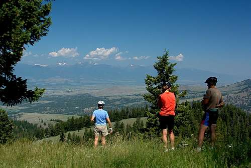
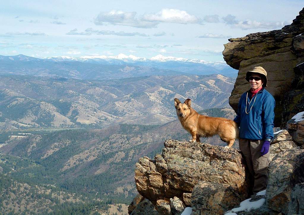
In spite of the ease-of-access for 4-wheelers, snowmobiles, and hunting (activities not usually considered to be compatible with hiking and climbing), the Sapphire Range offers a myriad of opportunities for rock climbing, bouldering, skiing, hiking, a little scrambling, winter mountaineering, or just getting out for a day of mountain enjoyment.
Geology
Paraphrased text from:
Roadside Geology of Montana,
by David Alt and Donald W. Hyndman.
The Sapphire Block, an enormous slab of the upper crust about ten miles thick, broke off the Idaho batholith and moved some 50 miles east into Montana. It includes the territory enclosed within the arc of the Garnet, Flint Creek, and Anaconda-Pintler ranges. As the block moved east, a trip that probably lasted several million years, it crumpled its leading edge and bulldozed the rocks ahead of it to form the tightly folded fringing ranges. Granite magma from the Idaho batholith evidently smeared along the base of the moving block, then penetrated the tightly-folded rocks of the Garnet, Flint Creek, and Anaconda-Pintler Ranges. The Bitterroot Valley is the gap behind the trailing edge of the Sapphire block.
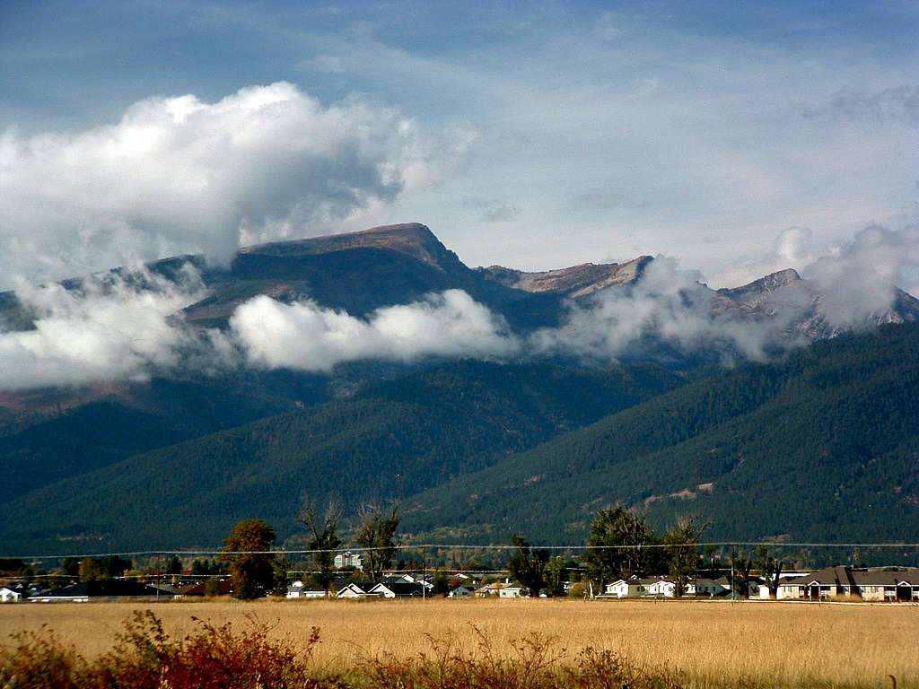
Almost every vantage point that gives a good view of the Bitterroot Mountains also reveals that most of its eastern front is a smooth surface tilting down to the east at an angle close to 25 degrees. A zone of distinctly platy and streaky looking rock more than a thousand feet thick called the Bitterroot mylonite lies beneath the smooth range front. (Mylonite is a distinctive type of rock that forms where rocks deep below the surface are strongly sheared, typically in a deep fault zone.) The easiest way to see the Bitterroot mylonite at close range is to drive to the mouth of any of the Bitterroot Valley’s canyons south of Stevensville (MT). Look for platy rock with a strong lineation on the surfaces of the slabs.
The Bitterroot mylonite zone is most strongly developed at the front of the Bitterroot Mountains, and fades at a depth of several thousand feet. It also wraps over the top of the range, and deep well cores show that it extends east beneath the Bitterroot Valley. The smooth surface on the lower part of the range front is so well preserved because it was buried for many millions of years beneath valley fill sediments of the Renova formation, now eroded off.
Close study of the unusual platy structure and complex texture in the Bitterroot mylonite shows that it developed through shearing as the rock above moved east. Here, apparently, is the fault zone that carried the Sapphire Range. The distinct lineation on the slabby surfaces invariably points just south of due east – the direction the Sapphire block moved.

The western front of the Sapphire Range (that which faces the Bitterroot Valley) is the trailing edge of the Sapphire block. Granite intrusions in those mountains probably formed as some of the magma that the block was sliding on rose into the rocks above. Like the older granite of this part of the Idaho batholith, those intrusions are about 70 to 75 million years old. That similarity in age probably means that the Sapphire block moved while some of the granite was still partially molten, still weak enough to shear easily, and able to form the mylonite zone along the range front.

