Toggle navigation
Mountains
Routes
Images
Trip Reports
Forum
What's New
People
Areas & Ranges
Articles
Trailheads
Canyons
Huts & Campgrounds
Albums
Logistical Centers
Fact Sheets
Lists
Custom Objects
Gear
Plans & Partners
WELCOME TO SUMMITPOST
SIGN IN
REGISTER
Carpathians
Additional Parents
Image
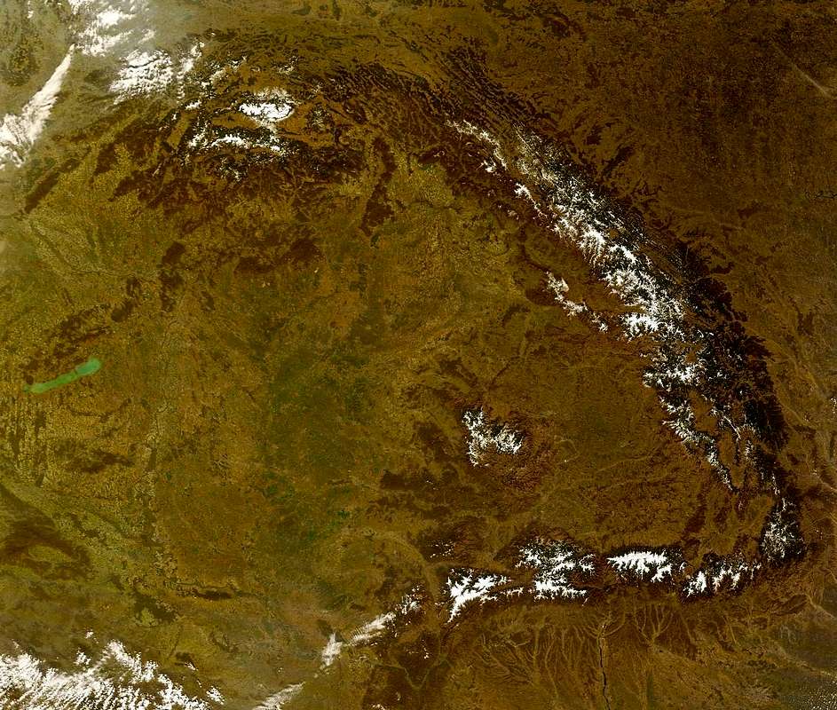
Satellite image of the Carpathians
View High-Resolution Image
Satellite image of the Carpathians
not for voting :) - taken from
transidex.ro
(
full article
with descriptive text in Hungarian)
« PREV
NEXT »
peterbud
on
Dec 7, 2007 5:02 am
Comments & voting
Other parents
Lat/Lon:
47.46240°N / 19.09420°E
Image Type(s):
Informational
Image ID:
363304
8910 Hits
80.49
% Score
12
Votes
Log in to vote
Comments
No comments posted yet.
to post!
Don't have an account?
Carpathians
(Area/Range)
« PREV
Viewing
#112 of 591
GALLERY
NEXT »
peterbud's Image Gallery
« PREV
Viewing
#117 of 733
GALLERY
NEXT »
My informational images
(Album)
Loading....
Dictionary of Carpathian Toponyms
(List)
Loading....
×
You need to login in order to vote!
User Name
Password
Remember me
Forgot your password?
Log me out when I close my browser.
Keep me logged in all the time.
sign in as a user
Don't have an account?
Register now for FREE
Rating available
Suggested routes for you
People who climb the same things as you
Comments Available
Create Albums
Register Here


