
|
|
Mountain/Rock |
|---|---|
|
|
37.19625°N / 113.65315°W |
|
|
Washington |
|
|
Scrambling |
|
|
Spring, Fall, Winter |
|
|
4084 ft / 1245 m |
|
|
Overview
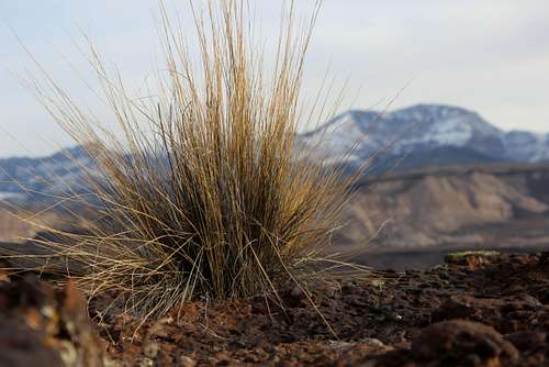
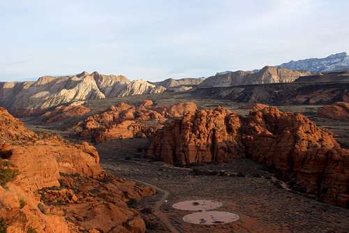
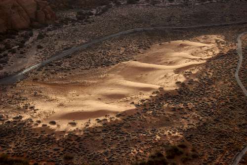
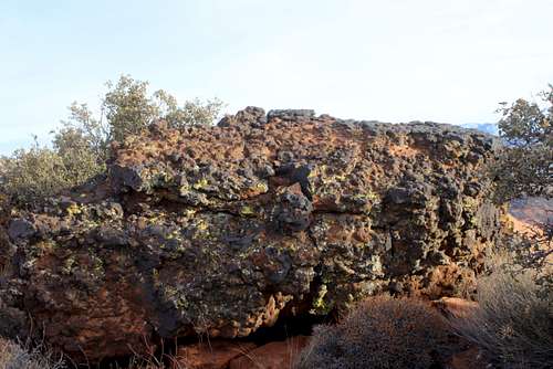
Second Peak is the southern peak on the long ridge that runs from near the sand dunes area of Snow Canyon State Park to Pictograph Mountain and culminating in Amphitheater Peak. According to Courtney Purcell in "Zion National Park: Summit Routes," This sandstone peak due west of Island in the Sky is a pleasant exercise in route finding. He has the route going up the east face, but gives no details. As it was, I found my way up a northeast-oriented gully, following slabs, slots and boulders to gain the east face and then climbing to the summit plateau. While not as complex and enjoyable as neighboring Pictograph, it is still an enjoyable romp to the summit.
Second Peak 13
Getting There
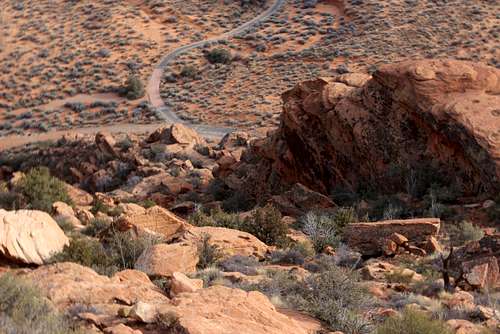
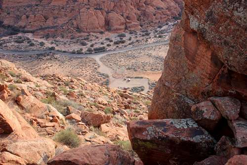
From the Desert Rat outdoor retail store (corner of St. George blvd. and Bluff St.,) drive north on Bluff for 1.7 miles. Turn left onto Snow Canyon Parkway and drive northwest for 3.9 miles (continuing through the first traffic circle.) At the second traffic circle, take the first right onto Snow Canyon Drive. Continue north for one mile to the South Entrance to Snow Canyon State Park. Pay the toll and drive for another .9 miles to the spur road leading to the parking lot for the West Canyon trail (just past the sand dunes.) Turn left and drive to the furthest parking area near the bathrooms.
Google Maps directions here.
Second Peak 19
Route
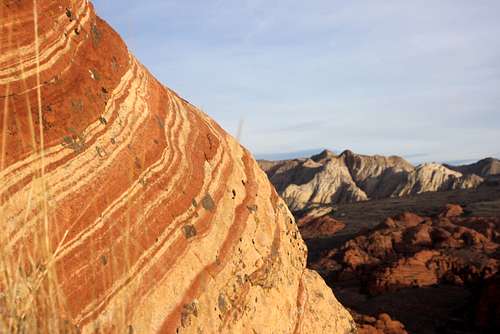
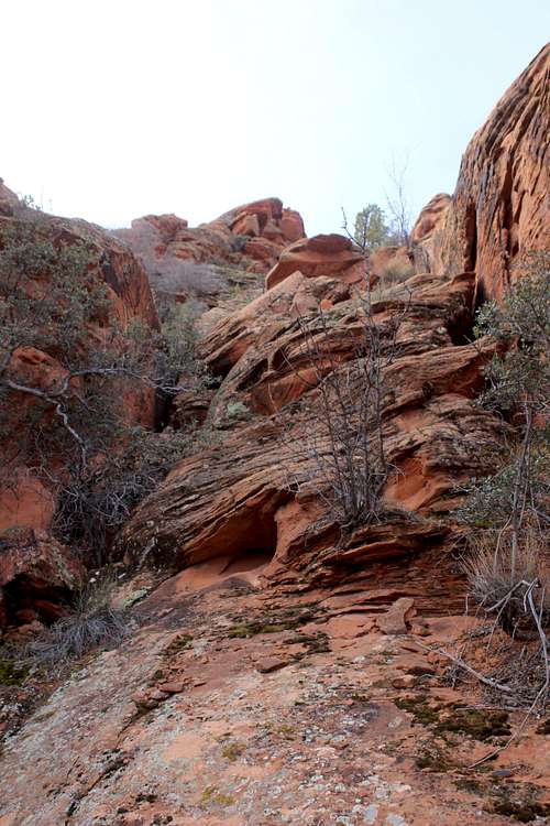
Northeast Gully: On the West Canyon Trail, walk .15 miles (awesomely short approach) to where the road bends to the northwest. To your left will be a recess and a gully. When I climbed this peak on Jan. 22, I scrambled up and across slabs to the right of the gully and traversed to the left. However, when I got back down to the base, it appeared that it would not be difficult to head straight up the gully from its beginning. Once in the gully, head southwest, keeping towards the left side. The route should never exceed class 3 and is almost entirely class 2. After another .15 miles (approximately) the gully ends and you will be on the east face. Make a rising southwest ascent, crossing over a small rib. This is the least pleasant part of the climb, with loose, sandy, decomposing sandstone. Soon a notch will appear above and to the east (left). Aim for this. At the base of this notch, climb a class 3 slab and short wall that takes you up to the gap.
Once through the gap, begin scrambling north across slickrock and shallow gullies until you reach the broad ridge that heads northwest. Follow this ridge, winding around smaller crags and some bigger towers. Eventually, on one of the taller formations, a deep slot prevents further travel (unless you have a rope and choose to rappel into the gap.) Traverse below it on the southwest side. Look for a very steep gully and climb up into it. A few boulders require steep but moderate class 3 climbing to surmount. From there, continue northwest, again weaving around crags and towers on the northeast side until you can climb back up to the ridge just below the summit block. Climb on the southwest side to reach the summit.
Descent: return the way you came.
The following pictures are not numbered correctly, but are in the proper order for the ascent
 Second Peak 20 | 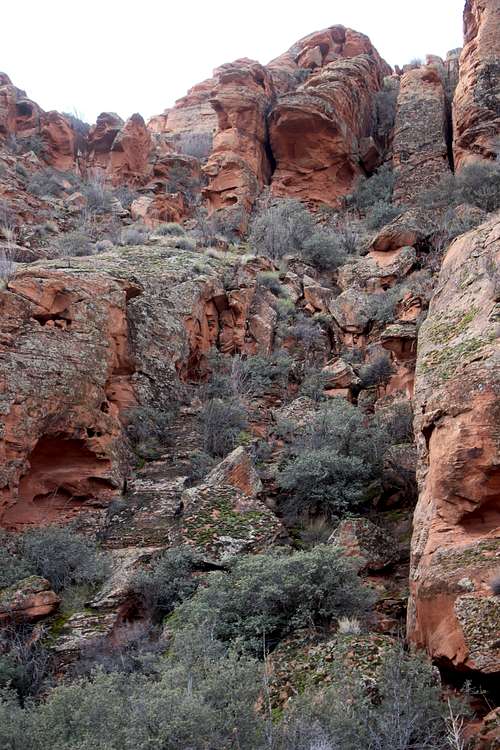 Second Peak 3 |
 Second Peak 4 | 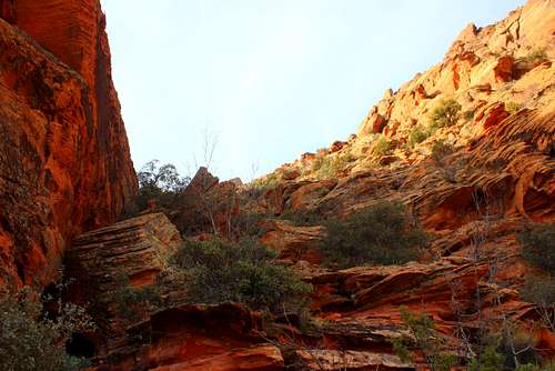 Second Peak 5 |
 Second Peak 6 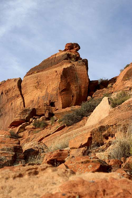 Second Peak 9 | 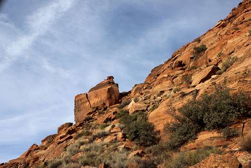 Second Peak 8 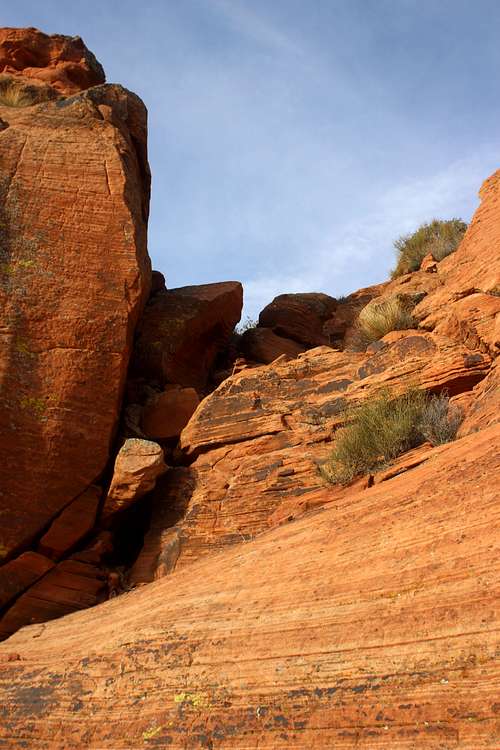 Second Peak 10 |
 Second Peak 11 | 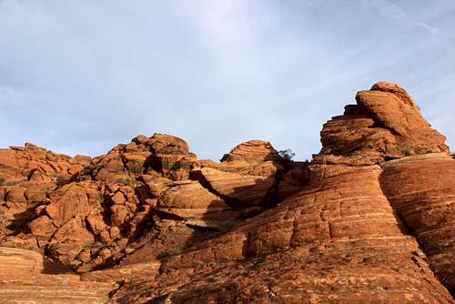 Second Peak 17 |
 Second Peak 18 | Second Peak 13 |
Second Peak 19 | 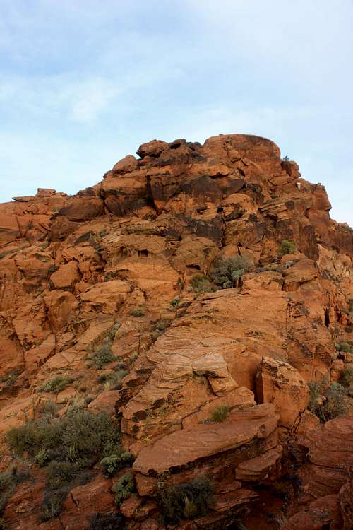 Second Peak 15 |
 Second Peak 16 | 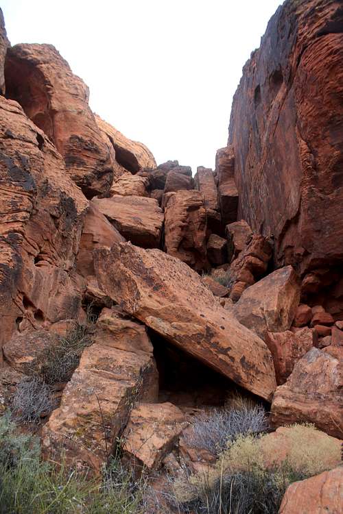 Second Peak 14 |
 Second Peak 12 |
Red Tape
A $6 fee is required to enter Snow Canyon State Park.
When to Climb
Winter, spring and fall, or early in the morning or late in the evening in summer.Camping
There is an excellent campground in the park, as well as dispersed camping on BLM and Forest Service land (primarily to the north of the park.) There is an excellent camping spot at the base of the Prophecy Wall near Veyo.
External Links
Weather for Ivins, Utah