

Fred Spicker - Dec 7, 2006 8:33 pm - Voted 10/10
"error"Actually, the error is on the part of the USGS. The peak known as Sheepshead is what is also known locally as West McDonald. What the USGS has named is an insignificant little bump on the connecting ridge.
Unfortunately USGS errors usually "stick".

Saintgrizzly - Dec 8, 2006 7:42 am - Hasn't voted
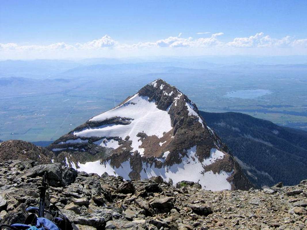
Re:Neither Topozone nor the Trails Illustrated Montana Topo CD-ROM set have "Sheepshead" in their data bases. But they do, of course, have "West McDonald;" am I right that the erroneous "insignificant little bump" is shown at the lower left of the image above? And in other words—if I understand correctly—to locals, either designation applies to the picture's main subject, and is the relatively rounded summit to the front and right of McDonald when viewed from the Mission Valley? (Shown in the first picture on the page.)


Comments
Post a Comment