This is a stitch of two photos and better viewed in "Orig."
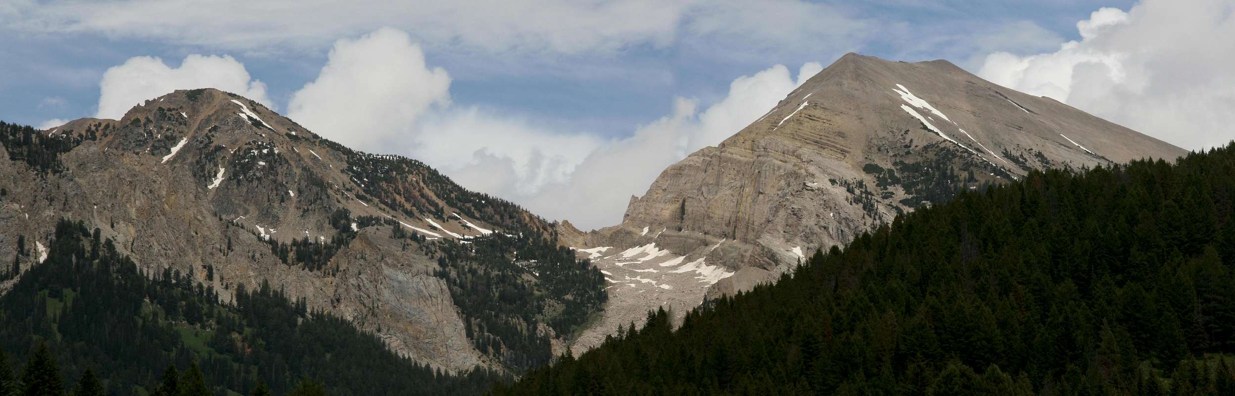
Shoal Peak (an unofficial name) is the one on the right. The best way to climb it is probably to hike about 5 miles along the Shoal Falls Trail and work up the south/southwestern side.
Shoal Peak connects to Corner Peak and then MacLeod Peak via the ridge shown here going to the left. Maps make the full traverse look enticing, but you would have to climb or bypass the cliffs on Shoal, which would be anywhere from challenging to extremely difficult, especially for unroped climbers.
This view is from the trailhead for Swift Creek and Shoal Falls, which is about 8 miles up Granite Creek Road near Hoback Junction.
Gros Ventre Range, WY-- July 2009


