
-
 4453 Hits
-
 79.04% Score
-
 10 Votes
|
|
Area/Range |
|---|---|
|
|
42.73907°N / 108.83038°W |
|
|
Hiking, Trad Climbing, Sport Climbing, Toprope, Bouldering, Scrambling |
|
|
Spring, Summer, Fall, Winter |
|
|
Overview
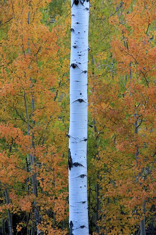
Autumn Gold in Sinks Canyon
Sinks Canyon is many things, among them a location of exceptional geological interest, a gateway to the Wind River Range, and a high-quality climbing destination.
The name refers to a spot called the Sinks where the Middle Fork Popo Agie River "vanishes"-- it enters a cavern and then drops underground through cracks and crevices. Not too far later, it reappears at a pool called the Rise. Short hiking trails lead to these locations.
Sinks Canyon State Park is but a portion of Sinks Canyon, encompassing approximately the lower half. The upper portion is in Shoshone National Forest. Officially, the canyon begins at Popo Agie Falls; it ends shortly past the northern/eastern boundary of the state park.
The road climbing out of Sinks Canyon leads to a few major trailheads for the Winds. One, Worthen Meadow, is noted on the first page linked to above; others are Silas Canyon and Middle Fork Popo Agie River.
An area of exceptional beauty due to its rushing river, aspen groves, and openness with views of tall cliffs, Sinks Canyon delights climbers with three types of rock-- granite, limestone, and sandstone-- and the climbing includes trad, sport, and bouldering. The bolted limestone at Sinks is considered a premier climbing destination, and people come from all over the country to climb here, especially in July, when nearby Lander hosts a climbers festival.
You will find the granite in the southern (upper) end of the canyon in the national forest and off the trail to the falls. Most of the climbing there is trad, and hard at that, with some sport.
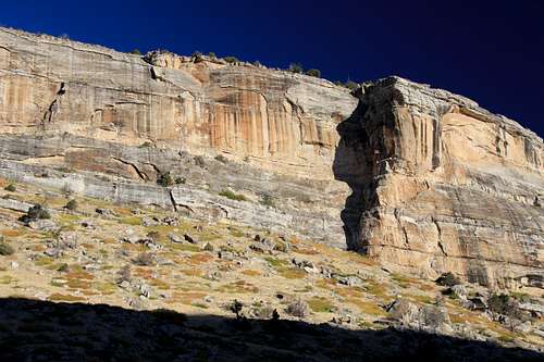
Limestone is the bulk of the climbing in the canyon, and almost all of it is sport. This is mostly sharp, sticky limestone, with plentiful moderates to keep most of us happy but plenty of difficult lines for the advanced and even the elite. According to the Mountain Project page, there are 77 5.11 routes, 89 at 5.12, 40 at 5.13, and 3 at 5.14.
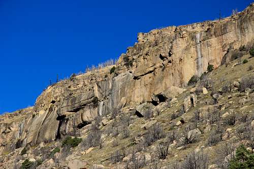 Limestone Cliffs of Sinks Canyon | 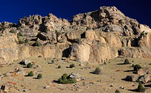 Limestone Cliffs of Sinks Canyon | 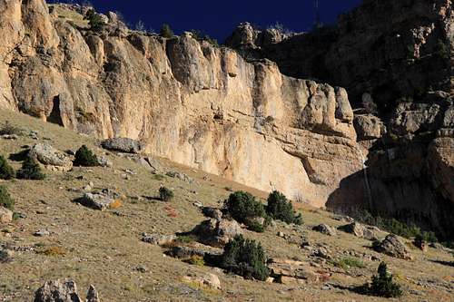 Limestone Cliffs of Sinks Canyon |
At the lower end of the canyon, you will find the sandstone, like a piece of Utah that somehow got relocated in Yellowstone Country. There, you will find both trad and sport, but mostly trad, with some mixed trad/sport.
 Sandstone Cliffs of Sinks Canyon | 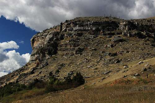 Sandstone Cliffs of Sinks Canyon | 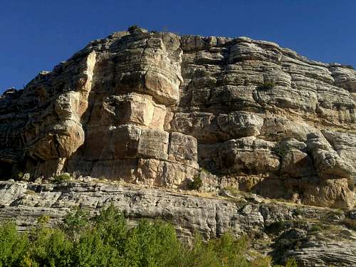 Sandstone Buttress |
I've posted this page to make a home for the two crag pages I've added for this area, and in hopes that others will add more. The MP page has far more information right now; please go there if you need climbing information this page or the pages I have attached do not have.
Getting There
From downtown Lander, follow signs to Sinks Canyon State Park. It takes about 15 minutes to reach the park boundary.
The other way to reach Sinks Canyon is from WY 28 via the Louis Lake-Sinks Canyon Loop, a highly scenic drive that includes views of the Winds.