|
|
Trip Report |
|---|---|
|
|
37.70774°N / 118.26608°W |
|
|
Jul 26, 2018 |
|
|
Hiking |
|
|
Summer |
Smelling the Flowers on the White Mountains Crest
Okay, I admit, there are a couple of trip reports out there of people doing roughly similar things. And one of the main attractions for traversing the wild White Mountains Crest is its isolation. (Let's face it, it's not terribly technical!) So I'll keep this deliberately very short.
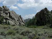
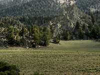
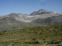
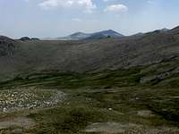
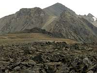
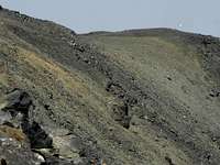
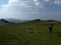
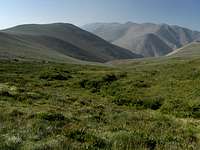
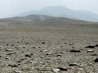
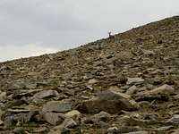
My partner Nastassja and my 10-year-old pup Marvin and I did the northern half of the range, from Cottonwood Basin to Trail Canyon in a nice leisurely five days in late July. Yes, five days. It's actually kinda hard to take that long, but we put our backs into it, and did the hard work. Lots of aimless wandering, frequent siestas, smelling flowers, watching coyotes and bighorn sheep and nighthawks. Be creative!
We only had a few concerns for the trip, but since information is very scarce, and they were seemingly legitimate and, well, "concerning" concerns, I'll just lay them to rest quickly:
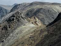
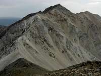
1) The third class bit on the north ridge of White Mountain. Wow does it look imposing from White Mountain Peak. But wow, it's not hard. Don't let dramatic photos of people hanging their butts over apparently (but not really) sheer cliff edges scare you. (Well, not too much. It's fun to be a little scared before. Makes the release when you finish a bit exciting.) But we managed just fine with horribly overloaded packs and an old (but game) pup. No directions necessary, figure it out yourself! Just know that if you're contemplating 4th class or worse, you're making it harder than you need to. You don't actually need to do a single climbing move. And please knock down any cairns you see. Tsk tsk tsk, let at least one route out there feel like an adventure!
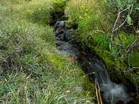
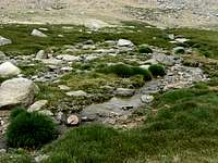
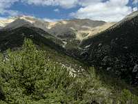
2) Water. Google aerial imagery is awesome. It showed several darkish spots on Pelliser flats... and indeed, some were springs. In fact, we probably didn't go for more than a mile or two tops without at least some water source. There are two good obviously permanent spring-basins southeast of White Mountain (McAfee Meadows and the next little basin north of it). The headwaters of Cabin Creek / Birch Creek, obviously (and the stream arises far up the slope to the north). And then little ones here and there almost all the way to the Jumpoff. There were still quite a few nice snow patches, especially at the top of steep north slopes. But obviously your mileage will vary considerably depending on the time of year and intensity of the previous winter. But late July was an excellent time to go this particular year.
3) Thunderstorms. Yeah, well, what are you gonna do? We aimed for a narrow window, made it four days without any storms, but bailed on Montgomery and Border Peaks because of obvious storms brewing. Probably could have made it in time -- we were camped at the Middle Creek / Montgomery Creek Pass after all(!) -- but we were driving across flash floods by noon. When it comes down, it can really come down. And there ain't a lot of things higher than you on, oh... the entire hike! If storms are a'brewing, maybe you could play in the Toiyabes or Rubys instead...
Good stuff. We did not see a single person the entire five days. And let's be honest -- that's really not so easy to do in this day and age. At least not on such a freaking gorgeous and compelling route like this. So if anyone asks, tell them it was the worst trip ever. That's my story and I'm sticking to it.
