
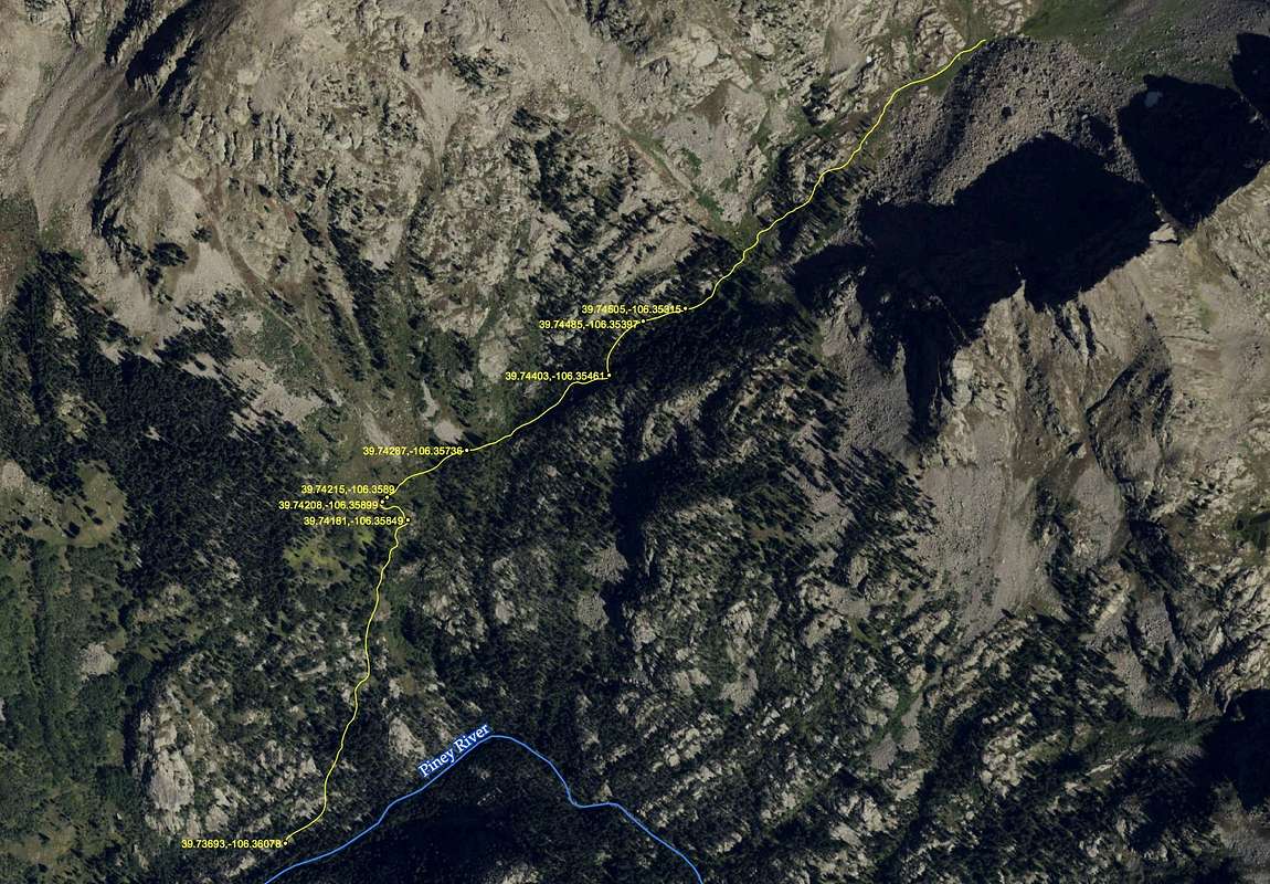
Social Trail to the High Basin
Click once more to expand the full image to read the lat/long coordinates.
Geeky cartographer's note: It's best to use decimal degrees when setting your GPS devices or sharing coordinates (37.12345, -107.12345). This is the best format to share across software applications. Degrees° Minutes' Seconds" is useful only if you must read old paper maps.


