Welcome to SP!  -

Spanish Peaks

 
[ Sizes: Orig | Large | Med | Small | Thumb ]
Spanish Peaks
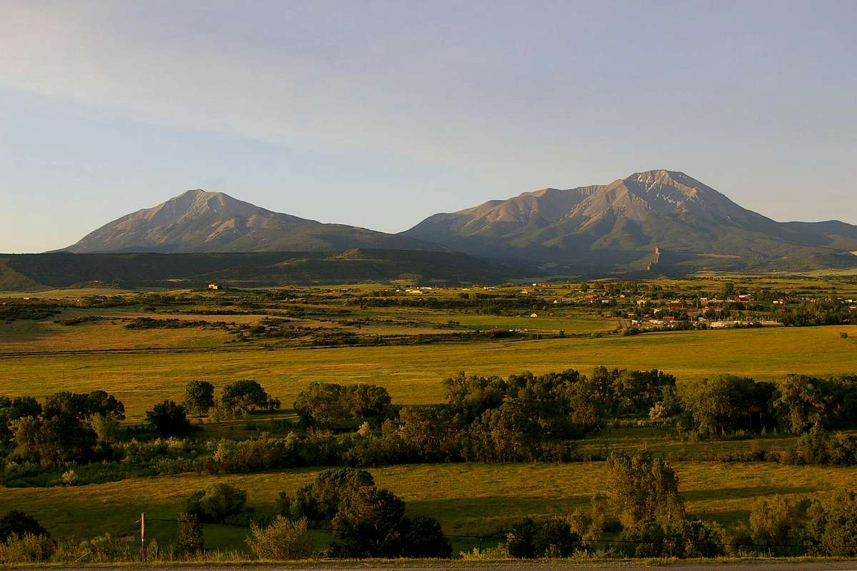
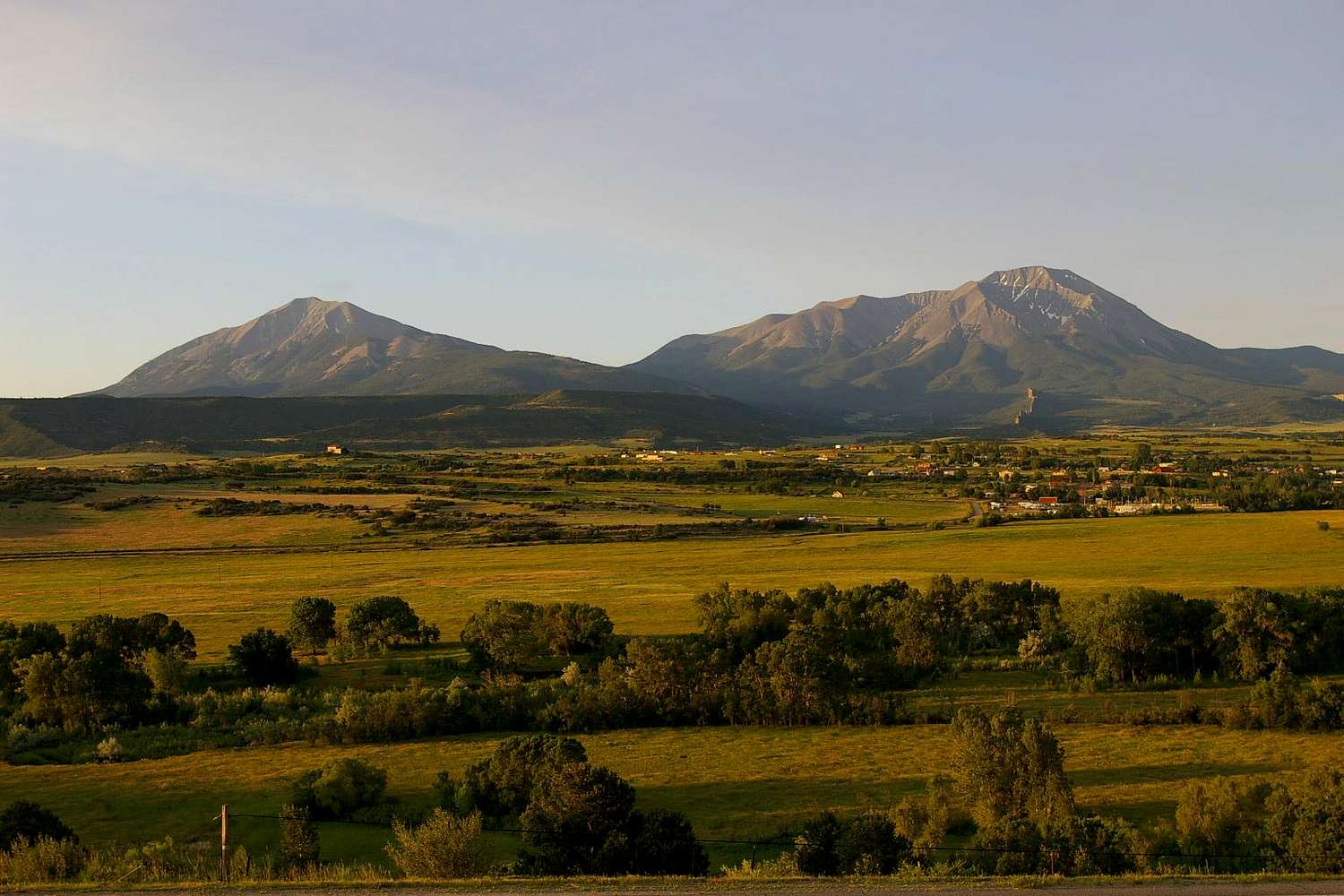
Taken from the La Veta airstrip just above CO 12 Hiway (very bottom of image) June 30, 2007 about 30 minutes after Sunrise.

The large dike seen running north from West Spanish Peak is labeled on the USGS map as simply "Big Wall". It's profiled nicely in the early morning Sun.

Click Image to ENLARGE!!

Comments

No comments posted yet.


Rate This Image
Current Score: 74.01

Log In To Vote
 West Spanish Peak (Mountain/Rock)

Morning Vista
« PREV

Viewing
#64 of 179
GALLERY
a "peek" at West Spanish
NEXT »

 billokc's Image Gallery

The north ridge route
« PREV

Viewing
#26 of 156
GALLERY
Cucharas Valley from Space
NEXT »
Image Data
billokcSubmitted by billokc
on Sep 11, 2007 10:34 pm

Image ID: 335872
Hits: 1177 
Lat/Lon: 37.52430°N / 105.00052°W

Image Type(s): Informational