
-
 13121 Hits
-
 78.27% Score
-
 9 Votes
|
|
Mountain/Rock |
|---|---|
|
|
48.29627°N / 122.07446°W |
|
|
Snohomish |
|
|
Hiking |
|
|
Spring, Summer, Fall, Winter |
|
|
2892 ft / 881 m |
|
|
Overview
There's a whole USGS quad named after this highpoint. Stimson Hill rises to 2,892’ with an impressive prominence of 1,852’. In fact, Stimson makes it into Washington States top 200 peaks by prominence. Round Trip is approximately 7 Miles. If you search around for viewpoints, mileage could be added to this figure. Total elevation gain to the Summit is 2,600’.
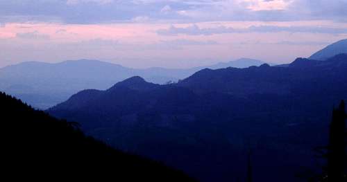
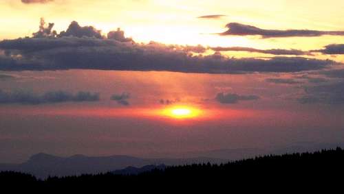
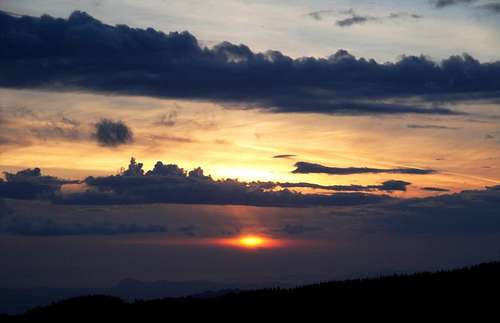
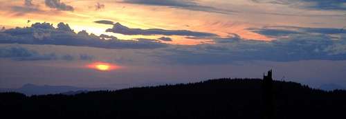 Sunset over the island peaks from Stimson Summit
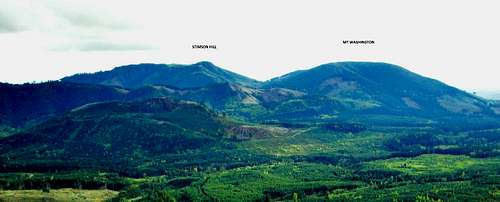
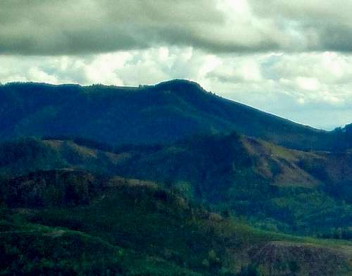 Stimson Hill seen from the north.
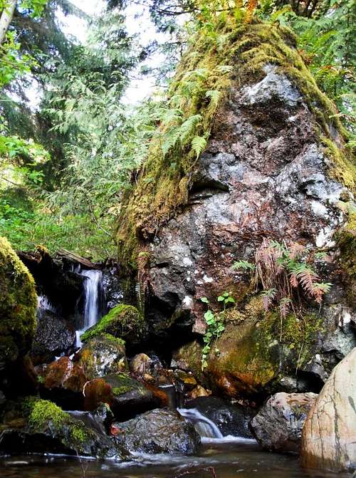
Most of the hike is through forested areas with lots of ferns and typical undergrowth. You can look back in some spots and start to see views of the Puget Sound as you rise quickly in elevation. The hike gains elevation (2,600’) the whole way up to the summit. Once you reach the true summit the views are great looking down on Arlington and out into the Puget Sound. The day I went, it was a bit cloudy which limited some of the views. You can hike from here to other highpoints to see amazing views of Three Fingers, Whitehorse, Big Deer Peak and other peaks in the local area. Some of the viewpoints will require some bushwhacking through Alders, Cascara and Willows. If you plan a visit to the true summit it is also recommeneded to also venture to some of these other highpoints for different views. The views from the true summit are not a true outward 360 degree, but visiting the other highpoints you should get views in most all directions.
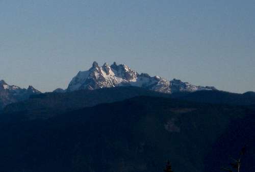 View Of Three Fingers From Stimson Hill
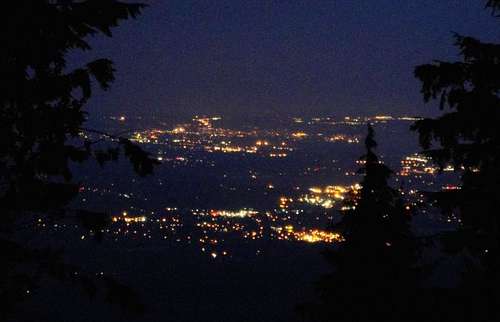 Looking Down At Arlington City Lights
At first glimpse Stimson Hill looks to be right on the border of Skagit and Snohomish County, which it is. However, looking closer the true summit of Stimson Hill is in Snohomish County. It's two other confirmed highpoints are in Skagit County.
Getting There
(AS OF 2020 this route travels through private land). If you have information on a new route for this peak, please share. Hopefully in the future there will be access to the state land from an aternative direction.
New section
 Stimson Hill Topo
Trip Report From 2010- NWHikers Trip Report
Red Tape
No Pass Required. You should be able to reach the summit year round. This is a good area to visit when avalanche danger is high on steeper more higher elevation slopes. Snowshoes in the winter, when the snow level is that low. The northwestern highpoint is great for Sunsets.
Redwic - Mar 10, 2011 11:15 am - Voted 10/10
Historical FactStimson Hill was named in reference to the Stimson Timber Company, which logged extensively in the area many years ago.
roma_usa - Apr 21, 2020 2:05 pm - Hasn't voted
privateif you start at North Cedarvale Loop Road, there is no trespassing sign which I did not find a way to get around