Welcome to SP!  -

Strolling up the Knoll

 
[ Sizes: Orig | Med | Small | Thumb ]
Strolling  up the Knoll
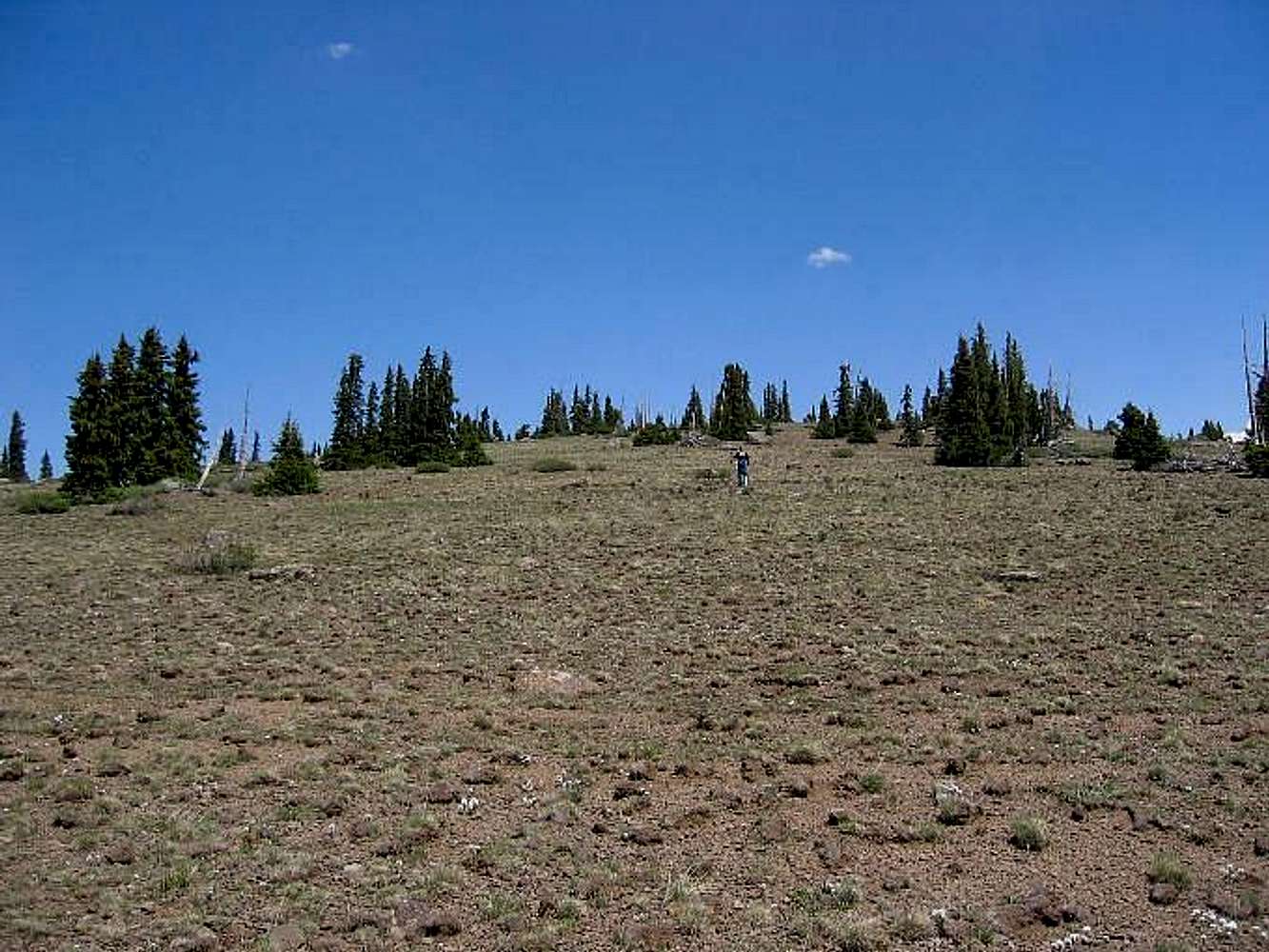
Andrew hiking up the short distance to the top of the Bluebell Knoll. About a quarter mile or less and about 200 feet of elevation gain puts you on top of this county highpoint. Don't underestimate the considerable drive to get you to the point where you can do this one however.
7-3-05

Comments

No comments posted yet.


Rate This Image
Current Score: 71.86

Log In To Vote
 Bluebell Knoll/Boulder Mtn (UT) (Mountain/Rock)

Bluebell Knoll
« PREV

Viewing
#13 of 18
GALLERY
Bluebell Knoll map
NEXT »

 Dean's Image Gallery

Flagstaff Mountain witness marker
« PREV

Viewing
#6211 of 6336
GALLERY
BLM sign for Silver Island Range
NEXT »


 Utah County Highpoints (List)


Image Data
DeanSubmitted by Dean
on Mar 2, 2006 3:36 am

Image ID: 177621
Hits: 1126