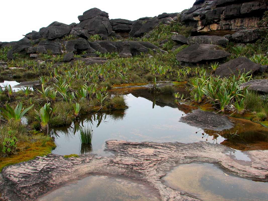
Typical view as you are exploring the top of Roraima. Roraima is a geologic formation called a “Tepui". [Some sources also spell it "tepuy"] The name Tepui ("house of gods") comes from the language of the Pemon Indians and refers to the table-top mountain encountered only in the Guyana highlands of northern South America. Tepuis are isolated mountains that rise abruptly from the rain forest or savanna. Since the Tepuis rise 2000’ above the rain forest, they develop unique varieties of endemic plant and animal species. The Pemon Indians live at the base of Roraima, in the ‘Gran Sabana’.
Mount Roraima is the highest and most famous of the Tepuis. It is found at the border between Venezuela, Brazil and Guyana (80% in Venezuela). Its highest point is 9219’. Considering most of Venezuela is around sea level, you can imagine how dramatic these Tepuis appear rising up from the jungle. Roraima is large – 20 sq miles. It takes more than 8 hours (round trip) to hike across the top.


