Surroundings: tiny Excursions for Teens Children & Seniors by South Area above Baltea / 4c

Surroundings: tiny Excursions for Teens Children & Seniors by South Area above Baltea / 4c

Page Type Page Type: Article
Activities Activities: Hiking

Young & Fun Overview


Reading this article is suitable for Kids, Boys & Seniors again becoming Children. But around Aosta Town there are only the "Becca" di Nona and the Monte Emilius Emilius? Absolutely not! If we go to look for old Albums in the bottom drawer in the attic or find other illusions that have permeated our Youth. When neither too poor nor too beautiful we went, again starting to walk from our house, looking for new Spaces and some Adventure which then needed to tell in the country to those who move never . Not forgotten, but only unconsciously hidden in Memory, they return to the surface when, advancing in Years, he returns to be Children. A treasure chest full of gold vacuous riches, that Time has not managed to erase. Indeed emerge stronger than before and their Power is of come back in the same. For us, no, it is a real goal ...


"... From a Lake...", by Antonio


La lettura di questo Articolo é adatta per Bambini, Ragazzi & Anziani che tornan ad esser Bambini. Ma intorno ad Aosta Città esiston soltanto la "Becca" e l'Emilius? Assolutamente no! Se andiamo a cercare vecchi Albums nel fondo dei cassetti od in soffitta troveremo altre illusioni che hanno permeato la nostra Giovinezza. Quando neppur troppo poveri e nemmen troppo belli andavamo, sempre partendo a piedi da casa nostra, alla ricerca di nuovi Spazi e qualche Avventura, che poi serviva da raccontar in Paese a quelli che non si muovono mai. Non dimenticati, ma soltanto inconsciamente nascosti nella Memoria, tornan a galla quando, avanzando negli Anni, si ritorna ad essere Bambini. Uno Scrigno d'oro ricolmo di vacue ricchezze, che il Tempo non é riuscito a cancellare. Anzi riemergono più forti di prima e la loro Potenza riporta indietro lontano nel Tempo.
Per noi no, é vera e propria meta ...


"... Thouraz towards the Grivola ...", by maria grazia s


Looking at an old B&W photograph, found by accident in a drawer, rediscover many things that you had forgotten or simply shelved in the Mind. Rediscover the traces of a little past that is quickly spent, with nothing that apparently change, as if just us to transform us. Instead, if you look carefully between the lines, everything, perhaps inadvertently, changes along with us. Then there are others, and putting them together, review a movie, an old movie, Which will unfold before doing resurface Reality, though now passed. Are you seeing an Colle Antico beyond which there opens gigantic Horizons for discovering great Mountains which, seen from afar, nothing you said remaining as something detached from your Life. Here, however, the "breaths" fully as the crisp air that shakes you lungs and eyes peering becoming an Infinite Horizon. Over there you see an old bivouac surmounted by a rustic wooden cross, and if you look behind your back, review the city from where you left this morning, near your home. The first view upsets you implying that the World is large and is beyond the space that usually you know, while the second will reassure all those who have their anxieties and usual doubts youth.
Unfortunately always present. As long as this has given us right time to reflect, observe the right things better ...

<font color =gren><b>Youthful Mount Fallère</font> <i>(3061m)</i></b> 1965
Mountain Friends 1963/2013 Fallère with Massimo 1965
Mont Fallère Old Tripod Summit s August 1965
Mountain Friends 1963/2013 With Marco Cossard 1965
Mount Fallère (3061m) Jag of the NW Ridge on 1965


"... Fallére Old Illusions ...", by Marco Cossard, Massimo Centelleghe, emilius & Osw


Guardando una vecchia fotografia in B&W, ritrovata per sbaglio in un cassetto, riscopri molte cose che avevi dimenticato oppur semplicemente accantonato nella Mente. Riscopri le tracce d'un piccolo passato, che é velocemente trascorso, senza nulla in apparenza cambiare, come se fossimo sol noi a trasformarci. Invece, se guardi bene tra le pieghe, tutto, magari inavvertitamente, cambia insieme a noi. Poi ne trovi altre e, mettendole insieme, rivedi un film, un vecchio film, che ti scorre davanti facendo riemeregere la Realtà, anche s'ormai passata. T'appar un Colle Antico che ti spalanca giganteschi Orizzonti scoprendo grandi Montagne che, viste da lontano, nulla ti dicevano rimanendo come un qualcosa distaccato dalla tua Vita. Qui invece le "respiri" pienamente come l'aria frizzante, che ti scuote i polmoni mentre gli occhi scrutan un Orizzonte che diventa Infinito. Laggiù vedi un vecchio bivacco sormontato da rustica Croce in legno, mentre se guardi alle spalle, ritrovi la città, daddove questa mattina sei partito. La prima veduta ti sconvolge facendo capir che il Mondo é grande e và oltre lo spazio solitamente conosciuto, mentre la seconda ti rassicura da tutte quelle che son l'ansie ed i soliti dubbi giovanili.
Sfortunatamente sempre presenti. Tutto ciò ci ha dato il tempo adatto per riflettere, osservando meglio le giuste cose ...


"... Above Saint Pierre Common ...", by maria grazia s


If a Child or a Family wants a beautiful Walks where you wear them, remaining around the City of Aosta? Becca di Nona? We are already gone. At Emilius? Ummm, is too far away and then, if there is snow, it becomes almost unattainable. So where do we go for a walk on top of Aosta? We must draw on youthful memories, because, looking for, we will find the way. If we go south, we can follow the old procession to the Hermitage of San Grato, also goes up towards Lake Chamolé, classical and traditional excursion Sunday after the war period. If we change the slope going to the North? The Valley of the Gran San Bernard bisects the valley behind the city of Aosta: Northeast we Becca of Roisan, Becca of Viou, Mount Mary above the Basin Senevé with the Castle of Villair Quart. In the Northwest Punta of Chaligne, above the Common of Gignod, or the nearby Punta Met between the Municipalities of Aosta and Sarre. Going a little further we can go allla Becca France to see the old landslide of July 6th, 1564, that buried the ancient Bourg-Village Thouraz or Thora with all its 600 inhabitants, or to the "mythical" Fallère (3061m), the most High elevation from Mount Faroma (3073m) to the Grande Rochère (3326m, in a distance most of 40 Kilometres). But now we are already above the Municipality of Saint Pierre with its magnificent Castle by "Toio" of Savoy, after leaving behind those of Sarriod-de-la-Tour and of Sarre and in front of us those of Aymavilles and Chatel d'Argent in Villeneuve Communes, but both beyond the Dora Baltea.
Along the way, we will surely meet many interesting.


"... The Last Paradise ...", by Maria Grazia Schiapparelli


Se un Bambino od una Famiglia voglion far una bella Passeggiata, dove li portate, pur restando dattorno alla Città d'Aosta? Alla Becca di Nona? Siamo già andati. All'Emilius? Uhmmm, é troppo distante e poi, se c'é la neve, diventa quasi irraggiungibile. Allora dove andiamo a far 'na passeggiata al di sopra di Aosta? Bisogna attingere ai ricordi giovanili, perché, cercando, troveremo la strada. Se andiamo a Sud possiamo seguire la vecchia Processione per l'Eremitaggio di San Grato, oppure salire al Lago di Chamolé, classica e tradizionale escursione domenicale del dopoguerra. Se cambiamo versante andando a Settentrione? La Valle del Gran San Bernardo divide in due la Valle dietro la Città di Aosta: a Nordest abbiamo la Becca di Roisan, la Becca di Viou, il Mont Mary sopra la Conca di Senevé con il Castello del Villair di Quart. A Nordovest la Punta delle Chaligne, sopra il Comune di Gignod, oppure la vicina Punta di Met tra i Comuni di Aosta e Sarre. Andando un pò più lontano possiamo andare allla Becca France per vedere la vecchia frana del 6 Luglio 1564, che seppellì l'antico Borgo-Villaggio di Thouraz o Thora con tutti i suoi 600 abitanti, oppure al "mitico" Fallère (3061 m), la più alta elevazione dal Monte Faroma (3073 m) alla Grande Rochére (3326 m; in una distanza d'oltre 40 Kilometri). Ma ormai siam già sopra al Comune di St. Pierre col suo splendido Castello dei Savoia, dopo avere lasciato alle spalle quelli di Sarriod-de-la-Tour e di Sarre e con davanti d'Aymavilles e Chatel d'Argent a Villeneuve, entrambi già al di là della Dora.
Strada facendo, ne incontreremo sicuramente molti interessanti.


"... New Mont Fallère Refuge ...", by p-mike


Southern Area above Baltea


"... North to the South above Aosta, Sarre, St. Pierre & Baltea Central Valley ...", by maria grazia s


Southern Sector

Instead passing to the West the City of Aosta in the direction of Commons before Sarre and then Saint Pierre, we have the vast area that reaches the South Basin Vétan, over this last municipality. We limit the excursions to the border between the two or just beyond, where, at the Southern foot of Becca France (2312m), from the Villages of Homené Dessus (1493m; Santa Margherita Chapel), on the "Road of the Salassians", and from the overlying of Combelin (1586m; reached through a short farm private dirt road) you can climb the same. Otherwise you can reach this small and infamous Summit even by snowshoes, but is it really necessary in this case from the Villages of Verrogne or better Vétan (see just below) using, starting from the first, the farm dirt road concomitant with the trail n° 10A/11/11B to the Plan de Neyret in the Bois de Verrogne then on to East-southeast with a small path unnumbered that reaches 2114 metres in altitude, at a saddle, subsequent routes described here. Or from the farm without climbing path through the Southwest Side of reaching the West Ridge not far from the Summit. Or again, starting from Vétan-Granzettaz (1780m) to the Northeast through route n° 12, which crosses the Torrent de Méod, reached the opposite side of the Alp Loé (1986m). By this we reach the route n° 10 from Verrogne Village and along the namesake walloon floor you come to the saddle 2272 metres. From this, turning to Southeast on the watershed with the Valley of Chiusella or Clusellaz (above Thouraz Dessus new Hamlet; San Teodulo Chapel), through the route n° 9, you pass two Unnamed Quotas and subsequent saddle (2237m, 2348m, 2221m), easily reaching the Top.
In any case are all excursions where it is necessary to lean on the above Regional Road or "Road of the Salassi", because too far from the City of Aosta.

Note
: this Regional Road cuts halfway across the hill above Aosta and, starting from Arpuilles gradually reaches the Villages of Lin Blanc and Noir (1249m, 1305m), Ville sur Sarre (1212m), Bellun (1382m; small Church of San Giacomo and Santa Margherita), and Homené Dessous Dessus (1451m, 1493m; Holiday Farm "les Ecureuils", Verrogne (1595m; Church of St. Theodule; Holiday Farm "la Cheminée") until Meod Damon (1520m; Church of St. Bernardo), Petit and Grand Sarriod (1445m) on the Regional Road that goes up from St. Pierre towards Vétan Dessus (1737/70m). Can be reached by different roads or paths from the valley floor, but the route is preferable by Sarre.


"... Vétan Hamlet from North ...", by maria grazia s


Besides you move too far to make trips departing walk from the City of Aosta or surroundings and frankly this last is already very far; best from the two villages predicted through the great forest with the path to the Northwest n° 10/11A; abandoning himself before the Bois (Wood) de Verrogne, reaching toward the Northeast small rocky promontory of Rocher de Barma, from which a small path unnumbered you reach a small and feature basin, immediately below the Summit. From here, go up the crest, where, after a short rocky stretch (steps of I°/I°+), you reach a saddle (nice view of the underlying landslide of 1564) and by the steep but easy Crest South-southeast using a track to the mound with rustic wooden Cross on the Summit. Or, starting by the junction immediately below the previous Village Bellun (1382m; small Church of San Giacomo and Santa Margherita), you can come up with the trail n° 9A that, through the Plan de Golette and the Bois de Plan d'Arsine, rejoins the previous via in altitude 2114 metres. There is also the possibility, however, with a shorter path, reaching the Becca France going from Thouraz Dessous, du Milieu and Dessus (1593m, 1652m;e Chapel of St. Theodule and ranch for horses with possibility of excursions through the same); hence part of a farm dirt road with concomitant path n° 8A/8B/9A, which reached near the junction (1665 metres around, on the right or East, continue towards the various Alps Met), continue to the next (1880 metres; left or Northwest towards Alp Arpy 1758 metres). Here the trail becomes n° 8A/8B reaching in succession the Alps Moron (1769m), la Comba (2073m), Frumière (2062m), Tsa de Frumière (2185m) and Tsa de la Comba (+; 2277m), just below the saddle 2272 meters from whence this, as previously, to the Summit. Or turning Northwest is reached by means of the path n° 9/10/13/14 a pond unnamed and the subsequent Lac Clapin (2457m, 2617m) at the base of the Southwest Crest Fallère; this is quite easily walkable and in some places more exposed is equipped with chains. Going up the same dominates the underlying Lake Morto (2634m; Dead), now in the next Walloon of Verrogne. From the mini pond, and continuing to the Northeast with the trail n° 9/10 you can climb the old muletrack, restored by a dozen years, that ragging the ruins of the old Margherita Hut (2983m) and from this in the short or large shoulder Eastern Summit (3040m; careful because this stretch in winter or at the beginning of the spring is very dangerous: in a trip Ski-mountaineering in January 2003, an avalanche swept ten climbers killing four of them). From this crossing in about 220/30 metres on the watershed (I°+ and short sections of II°-, equipped with chains) in a short time to the Top. Do not be attracted by the direct ascent from the trail to the Summit, because although it is possible with rocks very boring; becomes interesting only with hard snow and well transformed earning more than a half hour, but not high with high snow. Interesting and fast downhill.


"... France to Fallère a week after the avalanche ...", by emilius


Settore Meridionale

Oltrepassando invece ad Occidente la Città di Aosta in direzione dei Comuni prima di Sarre e poi di Saint Pierre, abbiamo a disposizione tutta la vasta area Sud che raggiunge la Conca di Vétan, sopra quest'ultimo comune. Ci limitiamo alle escursioni fino al confine tra i due od appena oltre, dove, alle pendici Meridionali della Becca France (2312 m), dai Villaggi di Homené, sulla "Strada dei Salassi", e dal soprastante di Combelin (1586 m; raggiungibile con una breve poderale privata) si può salire la stessa. Altrimenti é possibile raggiungere questa piccola e tristemente famosa Sommità anche con le racchette da neve, ma in questo caso é proprio necessario partire dai Villaggi di Verrogne o, meglio, Vétan (vedi appena sotto) utilizzando, con partenza dal primo, la strada poderale concomitante con il sentiero n° 10A/11/11B verso il Plan de Neyret nel Bois de Verrogne per poi proseguire verso Est-sudest con un piccolo sentiero non numerato che raggiunge a quota 2114 metri, presso una sella, le successive vie qui descritte. Oppure dalla poderale salire senza sentiero tramite il Versante Sudovest raggiungendo la Cresta Ovest a poca distanza dalla Vetta. Od ancora, partendo da Vétan-Granzettaz (1780 m) verso Nordest tramite il sentiero n° 12, che, attraversato il Torrent de Méod, raggiunte sul versante opposto l'Alpe di Loé (1986 m); da questa si raggiunge il sentiero n° 10 da Verrogne e percorrendo il fondovallone omonimo si perviene alla sella 2272 metri. Da questa, volgendo a Sudest sullo spartiacque col Vallone di Chiusella o Clusellaz (sopra Thouraz), col sentiero n° 9 s'oltrepassano due Quote Innominate e la successiva sella (2237 m, 2348 m, 2221 m) raggiungendo facilmente la Cima.
In ogni caso sono tutte escursioni dove é necessario appoggiarsi alla soprastante Strada Regionale o "Strada dei Salassi", poiché troppo lontane da Aosta.


"... Becca France from Southwest near Vétan ...", by salVal


Nota: questa Strada Regionale taglia a mezza costa tutta la collina soprastante Aosta e, partendo da Arpuilles progressivamente raggiunge i Villaggi di Lin Blanc e Noir (1249 m, 1305 m), Ville sur Sarre (1212 m), Bellun (1382 m; Chiesetta di San Giacomo e Santa Margherita), Homené Dessous e Dessus (1451 m, 1493 m; Agriturismo "les Ecureuils", Verrogne (1595 m; Chiesa di San Teodulo; Agriturismo "la Cheminée") fino a Meod Damon (1520 m; Chiesa di San Bernardo), Petit e Grand Sarriod (1445 m) sulla Regionale che da Saint Pierre sale fino A Vétan Dessus (1737/70 m). Può essere raggiunta da diverse strade o sentieri da fondovalle, ma la preferibile é dal Comune di Sarre.


"... On South-southwestern Ridge after snowfall ...", by emilius


Oltre ci si allontana troppo per effettuare gite con partenza a piedi dalla città o dintorni e francamente già questa ultima risulta molto lontana; meglio partire dai due villaggi predetti attraverso la grande foresta con il sentiero verso Nordovest n° 10/11A; abbandonando lo stesso prima del Bois de Verrogne, raggiungere verso Nordest il Rocher de Barma, da dove con un piccolo sentiero non numerato si raggiunge una piccola e caratteristica conca. Da questa si sale in cresta, dove, superato un breve tratto roccioso (un breve passaggio di I°/I°+), si raggiunge una sella (bella vista sulla sottostante frana del 1564) e tramite la ripida ma facile Cresta Sud-sudest utilizzando una traccia al tumulo con rustica Croce in legno della Sommità. Oppure, partendo bivio subito appresso il precedente Villaggio di Bellun, si può salire con il sentiero n° 9A che, tramite il Plan de Golette ed il Bois de Plan d'Arsine, si ricongiunge al precedente a quota 2114 metri. Esiste anche però la possibilità, con percorso più breve, di raggiungere la Becca France passando da Thouraz Dessous, du Milieu e Dessus (1593 m, 1652 m; Cappella di San Teodulo e ranch per i cavalli con possibilità di effettuare escursioni tramite i medesimi); da qui parte una strada poderale concomitante con il sentiero n° 8A/8B/9A che, raggiunto il vicino bivio (1665 metri circa; a destra od Est si prosegue verso le varie Alpi di Met), prosegue verso il successivo (1880 metri; a sinistra o Nordovest verso l'Alpe Arpy 1758 m). Qui il sentiero diventa n° 8A/8B raggiungendo in successione le Alpi Moron (1769 m), la Comba (2073 m, Frumière (2062 m), Tsa de Frumière (2185 m) e Tsa de la Comba (+; 2277 m), appena al di sotto della sella 2272 metri donde da questa, come in precedenza, alla Sommità. Oppure volgendo a Nordovest si raggiunge per mezzo del sentiero n° 9/10/13/14 un laghetto innominato ed il successivo Lac Clapin (2457 m, 2617 m), alla base della Cresta Sud-sudovest del Fallère; questa é percorribile abbastanza facilmente ed in alcuni tratti più esposti é attrezzata con delle catene. Salendo la stessa si domina il sottostante Lago Morto (2634 m), ormai nel successivo Vallone di Verrogne. Dal laghetto e continuando a Nordest con il sentiero n° 9/10 si può salire sulla vecchia mulattiera, ripristinata da una dozzina di anni, che ragginge i ruderi del vecchio Rifugio Margherita (2983 m) e da questo in breve alla grande spalla o Punta Orientale (3040 m; attenzione perché questo tratto in inverno oinizio di primavera é molto pericoloso: in una gita Sci-Alpinistica nel Gennaio del 2003 una valanga ha travolto dieci alpinisti uccidendo quattro di loro). Da questa in traversata di circa 220/30 metri sullo spartiacque (I°+ e brevi tratti di II°-, attrezzati con catene) in breve tempo alla Sommità. Non lasciarsi attrarre dalla salita diretta dalla mulattiera alla Sommità, perché anche se possibile é noiosa e con rocce molto rotte; diventa percorribiole solo con neve dura e bene trasformata facendo guadagnare più di mezza ora. Ma deve essere escluso con neve alta o farinosa, poiché diventa molto pericoloso. Interessante e rapido in discesa.


"... By Shoulder on East Crest Fallère ...", by emilius


Another way to go is to move from Fallère Lake (2415 m). But to do that we have to go back a little back, that is up to the alternative of Tsa de la Comba (+; 2277m); from here, leaving the left the trail to Lake Clapin, instead it continues to the Northeast with the dirt road quickly reaching the Tsa de Morgnoz (2276m), where the same ends and just below where he arrived the great avalanche of 2003. From its Western shore goes up and a steep and small path n° 8A, through narrow bends, wins the overlying rocky-grassy promontory (2543m) and then, flexing more Northwest, rejoins the previous itinerary for the former Capanna Margherita. As in life, even the mountains have their fashions, perhaps due to contingent factors. This route that had become the substitute of the previous traced already since 1800, because of the decay of the path more and more into ruin and decreased in interest after the renovation of the old mule n° 9/10 which joins at an altitude 2664 metres. Surely the most beautiful and fun, because you have to go from graceful Lake Fallère that alone already constitutes a goal, starting from Thouraz Village, however, is not to be covered with snow or ice is present on the same. In this case it is better to opt for the more tedious and sunny Southern Slope, but doing good attention to the final stretch that leads from the hut to Shoulder (3040m Eastern Summit). Or "settle" the near Unnamed Pass (2670m), just North of the lake and placed between the Fallère and Mont d'Arsy (2826m), within easy reach without path and with a small track along one of the sources of Torrent Carteresse. From this mountain unfolds towards Southeast along the watershed that separates the Central Valley Baltea from the initial one of the Gr. San Bernardo reaching Punta Met, again above Aosta. Whole Valchiusella, by Becca France and up to this latest Summit, presents feasible in day trips also starting walk from Aosta and surroundings. As it was until the Sixties, maybe even bypassing the Punta Chaligne. In this area most of the East Valchiusella there are still some nice walks and excursions that precisely from Mont d'Arsy reach Punta Met so that we can summarize from Northwest, or by Mont Fallère, towards the South:


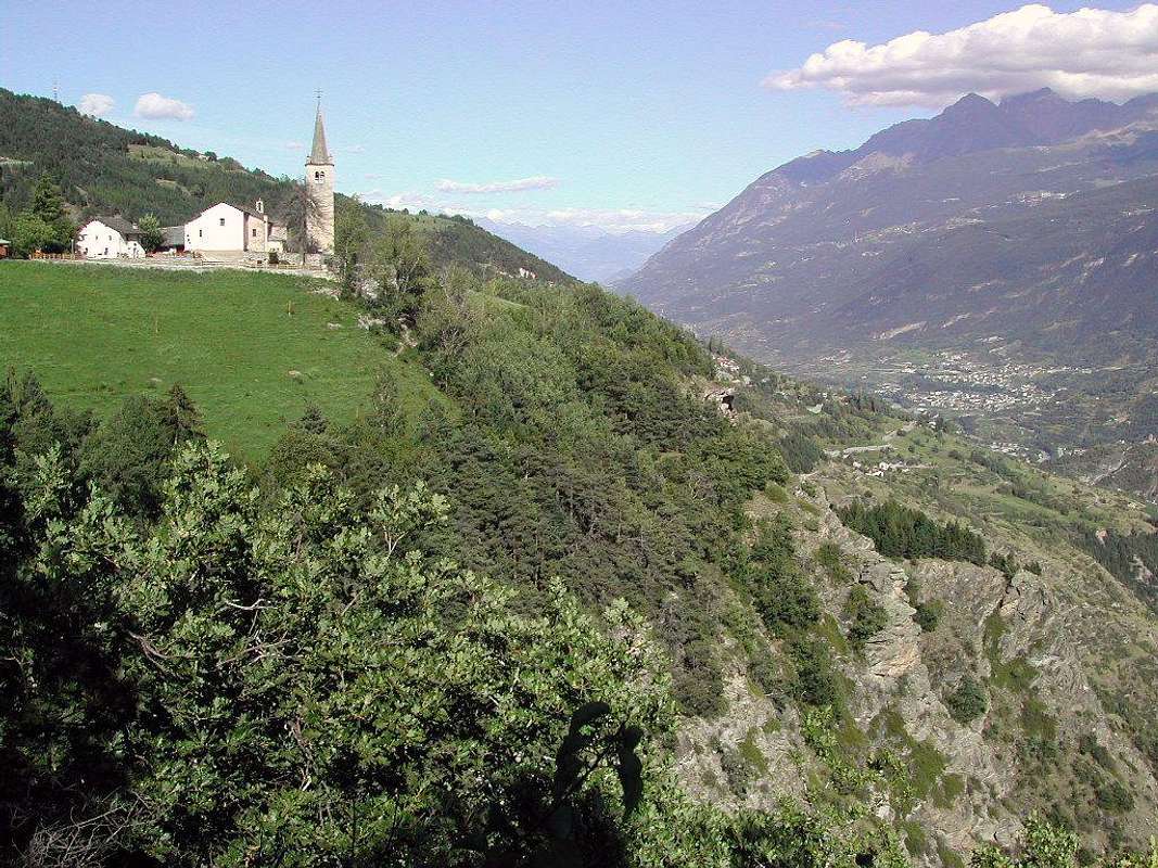
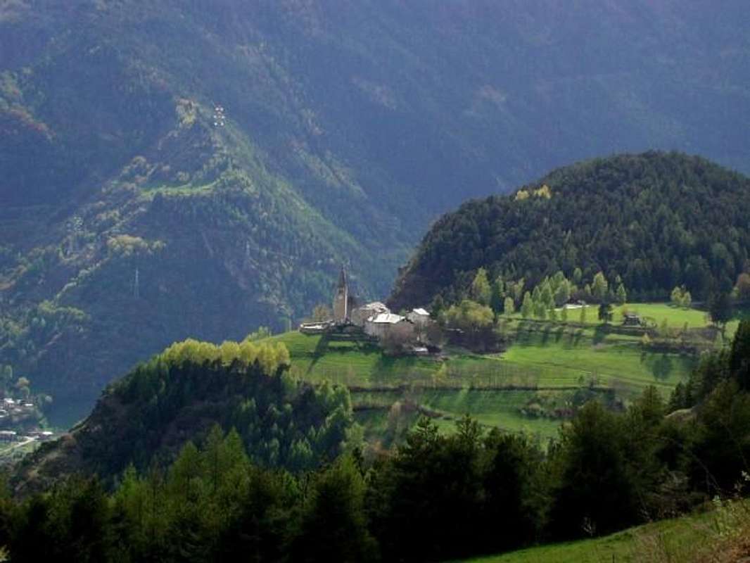
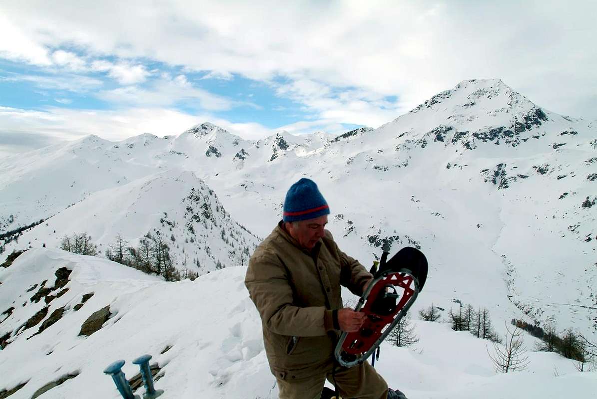
"... First Chesère Alpage ...", by maria grazia s


1)- Mont d'Arsy or Costa Mayan
(2826m). From Lake Fallère cross eastward with the trail n° 8F until you reach the Alp Nouva (2269m); this is not difficult for the Crest South-southeast bypassing higher up the hill 2704 metres. Or, always from Nouva, through easy Crest East-northeast from carving 2665 metres on the ridge with the Tsa.
2)- Mont de la Tsa (2741m). Nouva or New in the short to reach the Alp Chesère (2178m; Lady of the Snows), reached by the path n° 8B, concomitant with the dirt road by Morgnoz Pasture (2026m). From this through easy and narrow Ridge South-southeast, easily bypassing some steps between various altitudes (2418m, 2447m, 2573m).
3) -: Colle Tardiva (2410m). From Chesère, always with private road, reach the Tsa (2306m; Upper) where end all farm roads. From this, but no trail on the grassy slopes-detrital, away above the saddle (2518m; natural area with a large number of ptarmigan), between Mont de la Tsa and Punta Chaligne. From this a short descent, with trail n° 2A/3, leading to the below step, giving the opportunity with different connections (Walloon d'Ars towards Northwest, Alp Chaligne in Southeast, Northeast Chaligne Refuge).
4)-: Punta Chaligne (2608m). From the wide saddle (2518m) above the Tsa de Chesère, turning South-southeast with the small path n° 2A/3 easy to the Crosses on Top. Also with the direction first South with the path n° 8F towards the Tsitra locality (2176m) and then the Northeast with those ones before n° 7B and after n° 8C for reach
5)- Col de Met or Metz (2492m); from this, turning to the North, first passing a rocky promontory and then reaching a vast plateau, in the short to Punta Chaligne.

The Castel of St. Pierre is...
Alpine Lakes in the Aosta Valley
Mont Fallère At beginning of the Standard Route 1999
Punta Rossa (3630 m), Grivola...
Castel of Sarre: inside there...


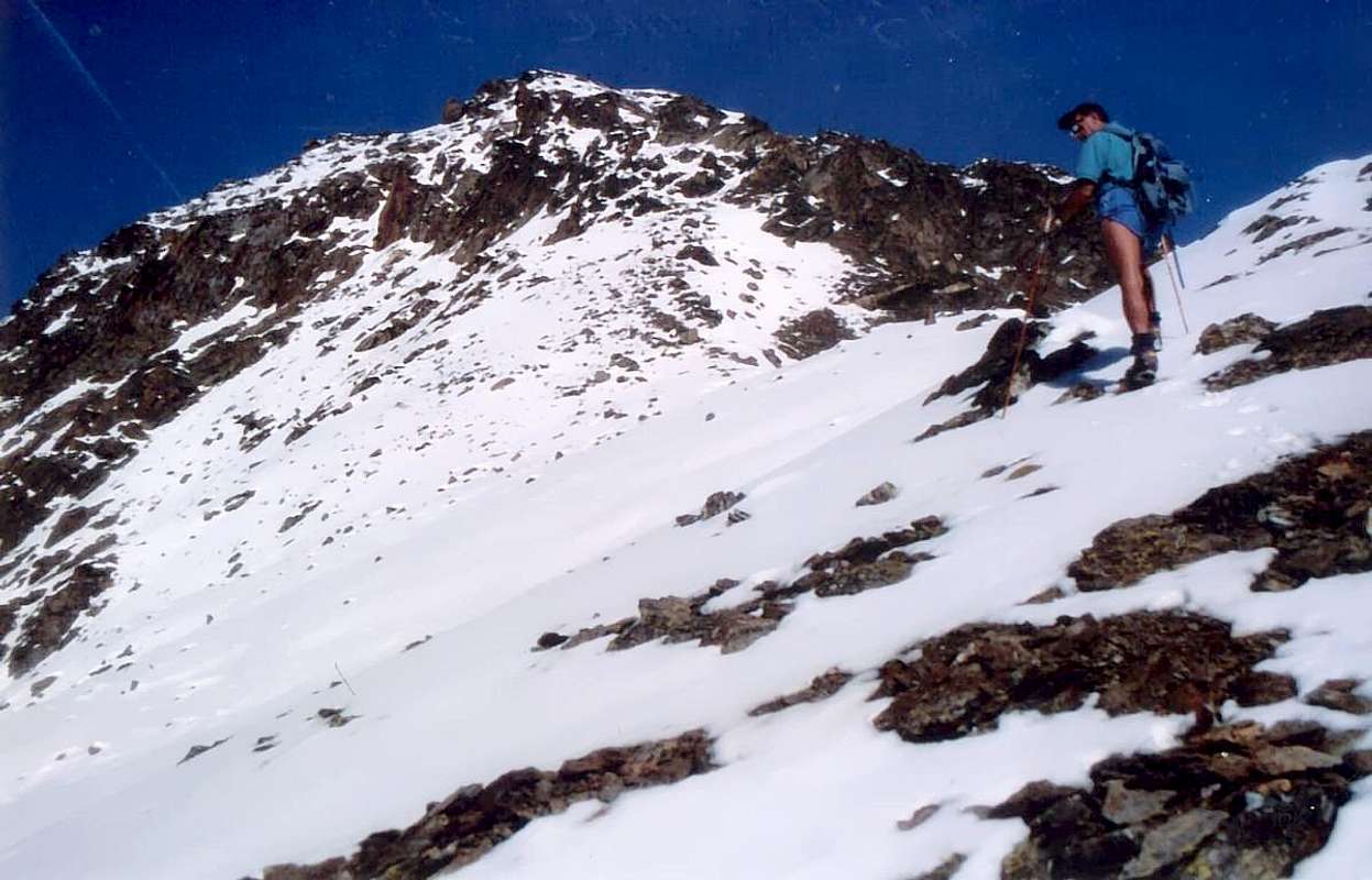
Old Walks ... Castles, Lochs & Goats, by maria grazia s, Antonio, emilius & Chandra


6)-: Pointe de Met or Metz
(2553m). From the eponymous hill climb to the South through the small path n° 7B that circumvented easily to the right some asperity rock, in the short and easily leads to the Summit. Or, reached the place called la Tsitra always continue through the same on the South-southeast Crest.
Note: here the hairpin bend at altitude 2140 metres from the opposite side also comes the farm, which dates from Thouraz through the Pastures of Vignon (1794m) and Condemine de Met (1896m) to finish in the Tsa de Met (2251m; beautiful stables vaulted semi circular), above the Comba de Labe. At Tsat de Met can also come from the other side, starting with the trail n° 2 that the Tsa de Chaligne, above the homonymous Refuge, to the fork (+; 2342m) before Plan du Debat then, passed the watershed, connect with short descent. Also a trail n° 2A part from the Village of Chacotteyes (1713m) coming from the private dirt road of Arpeilles (1512m), on the border between the Commons of Aosta Gignod. All this vast area, starting from the Sarre and passing to Aosta, reaches Gignod is crossed by trails marked and numbered, which rise from the valley floor. Finally and "en passant" to report the "Via Francigena", that rises from Aosta to Gignod and from there, via a beautiful walk through the woods, reach the Common of Etroubles, as well as the famous "Napoleonic Route of 1800", which, the same start, but with a different path reaches the various Great St Bernard Hills.

Em s  and Surroundings EMO & SUGG from Pian FELINA on foot to Mount FALLE RE
M. Fallére Group Entire Traverse September 1974
M. Fallère Integrally on the long Northeast Ridge 1974
From Summit of Mont Fallère to Dead Loch June 1965 In Day from Aosta Town
Mont Fallère Spring Couloir 1968


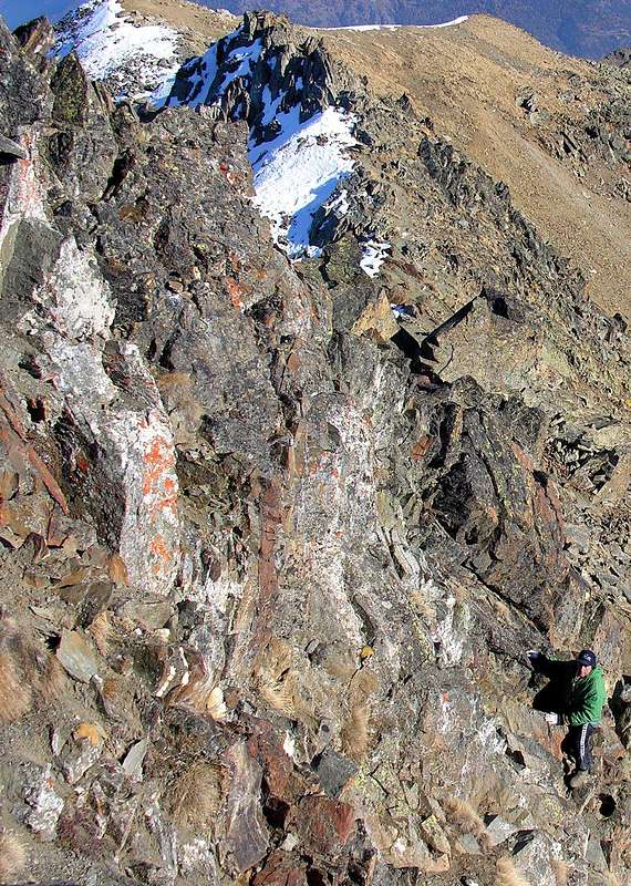
Old Walks & Excursions towards Fallère Area


Un altro modo per salire consiste nel passare dal Lago Fallère (2415 m). Ma per fare ciò dobbiamo ritornare un poco indietro, cioé fino al bivio di Tsa de la Comba (+; 2277 m); da qui, abbandonando sulla sinistra il sentiero per il Lago Clapin, si continua invece a Nordest con la poderale raggiungendo in breve tempo l'Alpe di Tsa de Morgnoz (2276 m), dove la medesima termina ed appena al di sotto di dove arrivò la grande valanga del 2003. Dalla sua sponda Occidentale sale un ripido sentierino n° 8A che, tramite stretti tornanti, vince il soprastante promontorio roccioso-erboso (2543 m) e quindi, flettendo di più a Nordovest, si ricongiunge al precedente itinerario per l'ex Capanna Margherita. Come nella vita, anche le montagne hanno le loro mode, dovute magari a fattori contingenti. Questa via che era diventata sostitutiva della precedente, tracciata dal lontano 1800, a causa del deperimento del sentiero sempre di più in rovina, é diminuita nell'interesse dopo la ristrutturazione del vecchio sentiero n° 9/10, al quale si ricongiunge a quota 2664 metri. Sicuramente più bella e divertente, poiché si deve passare dal leggiadro Lago Fallére che già da solo costituisce una meta partendo da Thouraz, non é però da percorrere con neve alta oppure in presenza di ghiaccio sopra il medesimo. In questo caso é meglio optare per il più noioso ed assolato Versante Meridionale, facendo però bene attenzione al tratto finale che dalla Capanna conduce alla Spalla (3040 m). Oppure "accontentarsi" del vicino Colle Innominato (2670 m), subito a Nord del lago e posto tra il Fallère ed il Mont d'Arsy (2826 m), che si raggiunge facilmente senza sentiero e con una piccola traccia lungo una delle fonti del Torrent Carteresse. Da quest'ultima montagna si dispiega verso Sudest il lungo spartiacque che divide la Valle Centrale della Dora Baltea da quella iniziale del Gran San Bernardo raggiungendo la Punta di Met, di nuovo sopra la Città d'Aosta. Tutta la Valchiusella, dalla Becca France e fino a quest'ultima Sommità, presenta escursioni fattibili in giornata anche partendo a piedi da Aosta e dintorni. Come si faceva fino agli Anni Sessanta, scavalcando, magari, anche la Punta Chaligne. In questo settore più Orientale della Valchiusella esistono ancora belle passeggiate ed escursioni che appunto dal Mont d'Arsy raggiungono la Punta di Met, così sintetizzabili partendo da Nordovest, ovvero dal Fallère, per arrivare infine a Sud:


"... By Fallère Lake to Chaligne & Metz ...", by maria grazia s


1)- : Mont d'Arsy o Costa Mayan
(2826 m). Dal Lago Fallère attraversare verso Est con il sentiero n° 8F fino a raggiungere l'Alpe Nouva (2269 m); da questa per la non difficile Cresta Sud-sudest scavalcando più in alto il promontorio 2704 metri. Oppure, sempre da Nouva, tramite la facile Cresta Est-nordest dall'intaglio 2665 metri con La Tsa.
2)- : Mont de la Tsa (2741 m). Dalla Nouva in breve raggiungere l'Alpe Chesère (2178 m; Madonna delle Nevi), raggiungibile anche con il sentiero n° 8B, concomitante con la poderale da Morgnoz (2026 m). Da questa tramite la facile e stretta Cresta Sud-sudest, aggirando agevolmente qualche passo tra le varie quote (2418 m, 2447 m, 2573 m).
3)- : Colle Tardiva (2410 m). Da Chesère, sempre con poderale, raggiungere la Tsa (2306 m) ove terminano tutte le poderali. Da qui, senza sentiero ma su pendii erboso-detritici, alla larga sella soprastante (2518 m; zona naturalistica con notevole numero di pernici bianche), tra il Mont de la Tsa e la Punta Chaligne. Da questa una discesina, con sentiero n° 2A/3, conduce al sottostante passo, dando l'opportunità di diversi collegamenti (Vallone d'Ars a Nordovest, Alpe Chaligne a Sudest, Rifugio Chaligne a Nordest).
4)- : Punta Chaligne (2608 m). Con il medesimo itinerario precedente alla larga sella (2518 m) sopra la Tsa de Chesère; quindi volgendo a Sud-sudest con il piccolo sentiero n° 2A/3 facilmente alle Croci della Cima. Oppure con direzione dapprima Sud col sentiero n° 8F verso la Tsitra (2176 m) e poi Nordest con quelli n° 7B/8C per raggiungere il
5)- : Col de Met o Metz (2492 m); da questo, volgendo a Nord dapprima superando un promontorio roccioso e poi raggiungendo un vasto plateau, in breve alla Chaligne.

Baltea / 4c Pointe Chaligne directly from Aosta 1965
Baltea / 4c Near Tsa de Morgnoz with Fallère 1975
Baltea / 4c Rest nearby Tsa de Morgnoz Alpage 1975
Baltea / 4c Returning to Aosta in Clusellaz Walloon 1975
Baltea / 4c Pointe Chaligne Old Cross of Summit 1965


Old Walks & Excursions towards Punta Chaligne & Fallère


6)- : Punta di Met o Metz (2553 m). Dall'omonimo colle risalire verso Mezzogiorno tramite il sentierino n° 7B che, aggirate facilmente verso destra alcune asperità rocciose alternate a banconate, in breve e facilmente conduce alla Vetta. Oppure, raggiunta la località detta la Tsitra continuare sempre tramite il medesimo sulla Cresta Sud-sudest.
Nota: qui al tornante a gomito in quota 2140 metri dal versante opposto giunge anche la poderale, che risale da Thouraz passando per gli Alpeggi di Vignon (1794 m) e Condemine de Met (1896 m) per terminare a la Tsa de Met (2251 m; belle stalle a volta semi circolare), sopra la Comba de Labe. Alla Tsat de Met si può giungere anche dal versante opposto partendo con il sentiero n° 2 che dalla Tsa de Chaligne, sopra l'omonimo Rifugio, raggiunge il bivio (+;2342 m) prima di Plan du Debat per poi, superato lo spartiacque, collegarsi con breve discesa. Inoltre un sentiero n° 2A parte dal Villaggio di Chacotteyes (1713 m) arrivando dalla strada poderale di Arpeilles (1512 m), al confine tra i Comuni di Aosta e Gignod. Tutta questa vasta area che, partendo dal Comune di Sarre e, passando per quello di Aosta, raggiunge Gignod é percorsa da sentieri segnalati e numerati, risalenti dal fondovalle. Infine ed "en passant" da segnalare la "Via Francigena" che da Aosta sale a Gignod e da qui, tramite una bella passeggiata attraverso il bosco, raggiunge Etroubles, nonché la famosa "Via Napoleonica del 1800", che, sempre con la stessa partenza, ma con percorso diverso raggiunge il Gran San Bernardo.


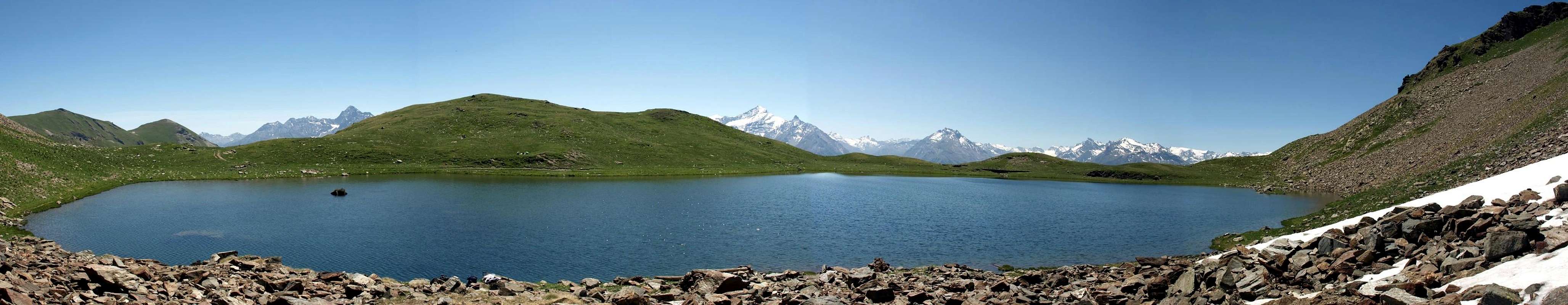
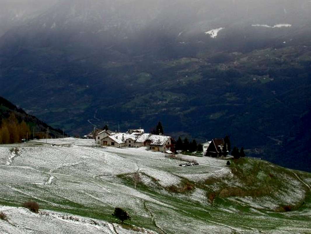
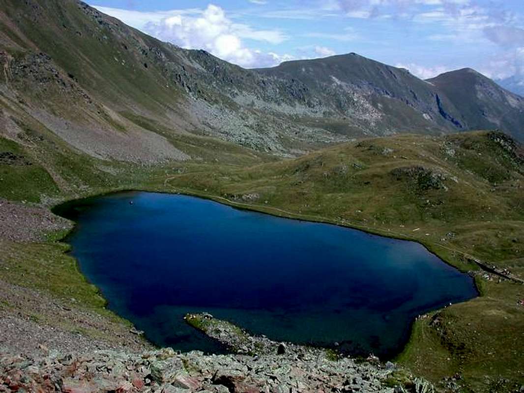
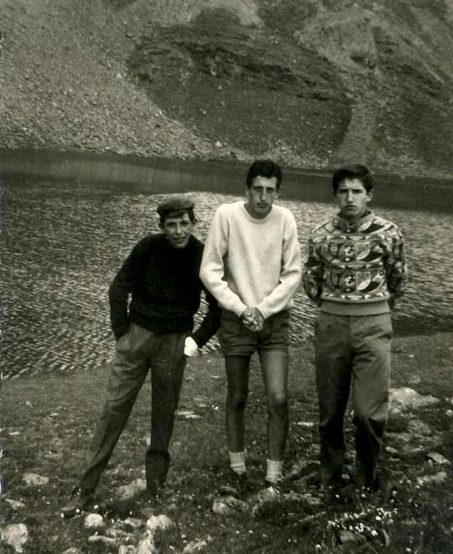
"... Lake Fallère 1965 ...", by Dario Cardellina


Comments

No comments posted yet.