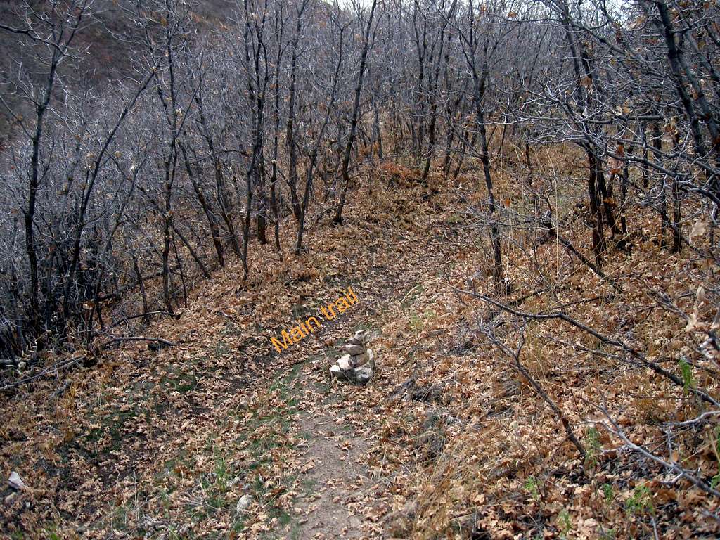
SW ridge trail

SW ridge trail

It starts here at this junction, currently marked with the cairn you see. The main trail comes from the right and then drops down to the left as it continues on its way towards Baldy Saddle via the Dry Creek trail. The ridgeline trail up the SW ridge might be missed if not marked as it is now by this cairn but the GPS coordinates are 40.3505 111.6641 (nad 27) at 6380 feet. From this point, you gain almost 2400 feet in a bit over a mile. While steep, the footing is generally good although in winter conditions, I would probably opt for the other trail route to Baldy Saddle. 10-26-09
Dean
on Oct 28, 2009 8:26 am
Image ID: 568328

Comments

Post a Comment
Viewing: 1-2 of 2
JDrake

JDrake - Oct 28, 2009 7:52 pm - Hasn't voted

No wonder

that climb always gasses me. I knew it was steep, but 2400 over a mile or so suprised me. Okay, my future goal is to jog up it.

Dean

Dean - Oct 29, 2009 11:38 am - Hasn't voted

Re: No wonder

Jog up it? Hmmm. I wouldn't try to jog down it though, not unless you have glider wings on. Above the 7600' level it gets really steep but what a neat mountain to have in our "backyard".

Viewing: 1-2 of 2