
|
|
Mountain/Rock |
|---|---|
|
|
Hiking |
|
|
Overview
A nice side trip between Salt Lake and Moab is a prominent peak called Teat Mountain. With 1,117 feet of prominence, Teat is a peakbagger destination, the 279th most prominent peak in Utah. It's summit is surrounded on three sides by deep valleys so this makes it feel much higher. Teat has a great forest service road to the summit.
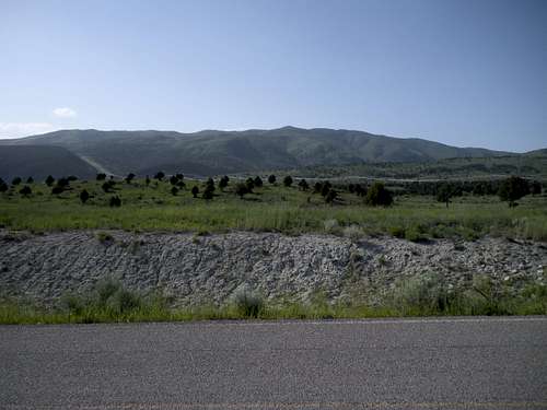 View of Teat Mountain
Getting There
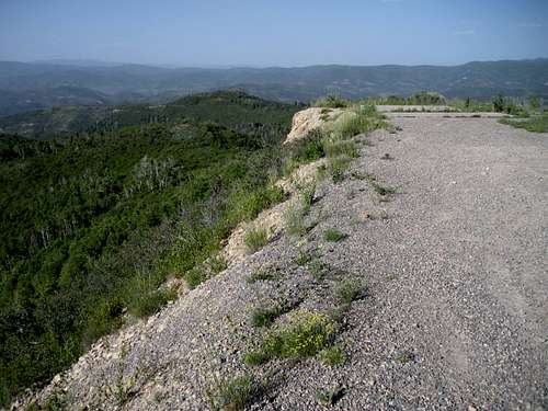
To reach the road, take highway 6 east of the Highway 89 junction that goes down to Manti. The turn-off is next to the only gas station between the Thistle Junction and the Tucker/Soldier Summit area. Just feet before the gas station on the west side is a road with a sign saying to Strawberry Reservoir. This road is paved and gets you quickly up a third of the mountain. Follow the map to the turn-off. At the turn, both the paved and the dirt Teat Mountain road have [hopefully open] gates. A forest service sign says road open to cars, ATV's and motorcycles. The Teat Mountain road is straightforward with few intersections. When you get just below the summit and the tower is right above you, go right at a gate. This short spur takes you up to the top where turning around is possible, but airy.
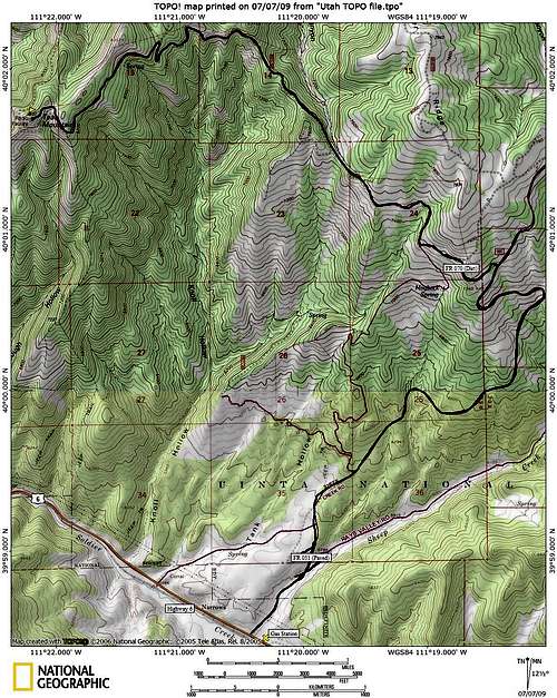 Map for Teat Mountain
Red Tape
No access issues but the gates might close during certain times of the year. There were no signs indicating when this might be.
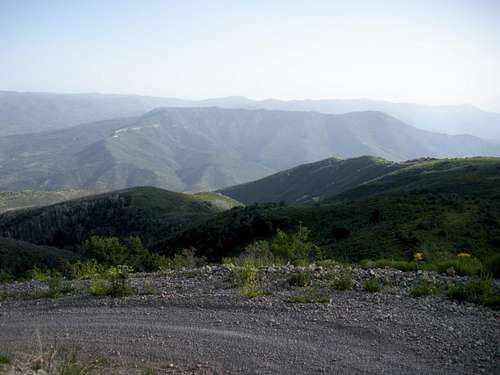
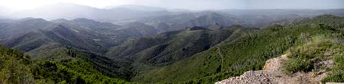
South to Sky High
View SW in Smoke
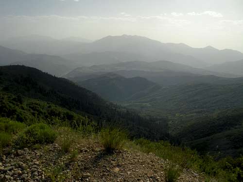
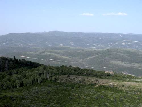
 Teat Mountain View
Com Site
Strawberry Mountain
 Empty Com Site