-
 587 Hits
-
 73.06% Score
-
 3 Votes
|
|
Mountain/Rock |
|---|---|
|
|
38.95982°N / 120.25464°W |
|
|
El Dorado |
|
|
Hiking, Scrambling |
|
|
Spring, Summer, Fall |
|
|
8872 ft / 2704 m |
|
|
Overview
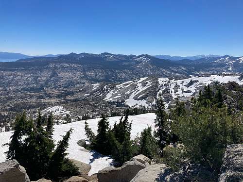
Tells Peak is an unassuming mountain at the northernmost part of the Crystal Range - the western border of Desolation Wilderness southwest of Lake Tahoe. Unlike range sisters like Mt. Price, Pyramid Peak, and McConnell Peak, this mountain doesn't strike much of a profile upon first viewing. Its relatively low prominence (~232 feet) and wooded sides make it a destination chiefly for northern Sierra peakbaggers and people starting or ending their Crystal Range Traverse. It's also part of the Tahoe Oguls peakbagging list, which comprises 63 mountains in and around the greater Lake Tahoe area.
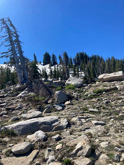
The summit proper is marked by a very brief talus lump with some krummholz and manzanita marking the high point. It's almost uniformly accessed via the Highland Trail, which can be taken from the west in El Dorado National Forest or from the east in a broader traverse across Desolation Wilderness. And, of course, it could be the northern terminus for the Crystal Range Traverse!

Getting There

It is by far easiest to get to Tells Peak from the west via El Dorado National Forest. You can approach from the east, but it's longer and not really worth it unless you're a glutton for doing things an unnecessarily more difficult way for remote and unassuming mountains. And hey - I've got up to weird stuff in the outdoors before, so do your thing.
Accessing the Highland Trail from the west is best accomplished via driving on I-50 and turning north onto Ice House Road. This is the meat of the approach; continue north for around 22-25 miles past Ice House Reservoir, Union Valley Reservoir, and Big Silver Group Campground. When you get near "Robbs Valley" on quads and GPS devices such as GaiaGPS, turn right onto "Van Vleck Ranch Road", also designated as "13N22" on GPS maps. Drive around 4-5 more miles so you are past the "Van Vleck Bunkhouse" on maps, and then drive around 1/2 more mile until you arrive at a gate. Park here (there's a bit of a turnaround in the dirt), and get ready!
Ice House Road is completely paved and was in excellent condition in mid-July 2023. There should be no issues for any road-legal vehicle. The Van Vleck Road was dirt, but a smooth dirt road that I had no issues getting up in my 2WD base model Jeep Compass.
Route
Tells Peak may be accessed via the Highland Trail or as the northern terminus of a Crystal Range Traverse. Most hikers and scramblers tend to link Tells Peak with the other mountains of the northern Crystal Range (McConnell Peak, Silver Peak, and Red Peak). If you're up here for peakbagging the Oguls or other mountains the Tahoe Basin, then I highly recommend you plan that link-up for efficient miles.
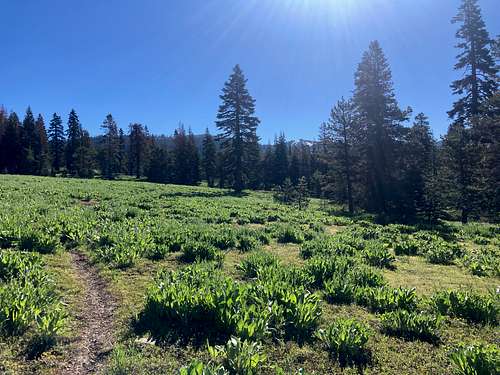
The Highland Trail can be a bit funky to access, but it's fairly easy to find and follow when snow has melted out. The steeper west sides of the trail that are deep within lodgepole pine forests can hold onto snow banks well into Spring, so be prepared to do some bushwhacking or routefinding and reduce the chance of being on bad terrain.
Directions to and along the Highland Trail are as follows:
- From the parking area described in "Getting There", walk along the rough forest road past the gate for slightly under a mile. At the fork, head north. (The southern fork goes to Red Peak.)
- Head along this fork for around 3/4 of a mile and then turn east at the trail fork for the Highland Trail. Another rough dirt road also follows the trail for some time, but it's much fainter. Do not make the mistake of turning onto Loon Lake Trail.
- Continue east for around one mile, then take the Highland Trail east. Snow and brush can obscure the start of the trail, but afterwards it's pretty easy to follow. Up until now, the grade is very slight and mostly flat.
- Continue along the Highland Trail for approximately three miles. You will encounter a couple suddenly steep sections as the trail winds its way up to the ridge.
- At the saddle between Tells Peak and McConnell Peak, head north toward the obvious small talus summit block. It's very light scrambling - high Class 1, maybe low Class 2 if you squint.
- Either head back the way you came, or turn south and follow the ridgeline for McConnell Peak and the Crystal Range Traverse.
If you are headed toward Tells Peak from McConnell Peak, then simply go north a little bit more from the ridge and tag Tells Peak, then follow the above directions backward to get to the parking area.

Red Tape
The Highland Trail begins in the El Dorado National Forest, for which there is no red tape or access issues. Desolation Wilderness is free for day-hiking with no required permits. Overnight trips into Desolation Wilderness require a permit that can be acquired through the Recreation.gov website. Ensure that you follow the camping guidelines and select the proper zone for your overnight trip.
When to Climb
Tells Peak may be climbed at any time of the year, though snowfall can significantly restrict access to the Highland Trail. Spring, summer, and fall are all excellent times to attempt both this summit and the traverse.
External Links
Tells Peak trip report for July 11, 2023 (and other information about the northern Crystal Range Traverse): link

