Toggle navigation
Mountains
Routes
Images
Trip Reports
Forum
What's New
People
Areas & Ranges
Articles
Trailheads
Canyons
Huts & Campgrounds
Albums
Logistical Centers
Fact Sheets
Lists
Custom Objects
Gear
Plans & Partners
WELCOME TO SUMMITPOST
SIGN IN
REGISTER
St. Mary's Falls/Trail 624
Additional Parents
Image
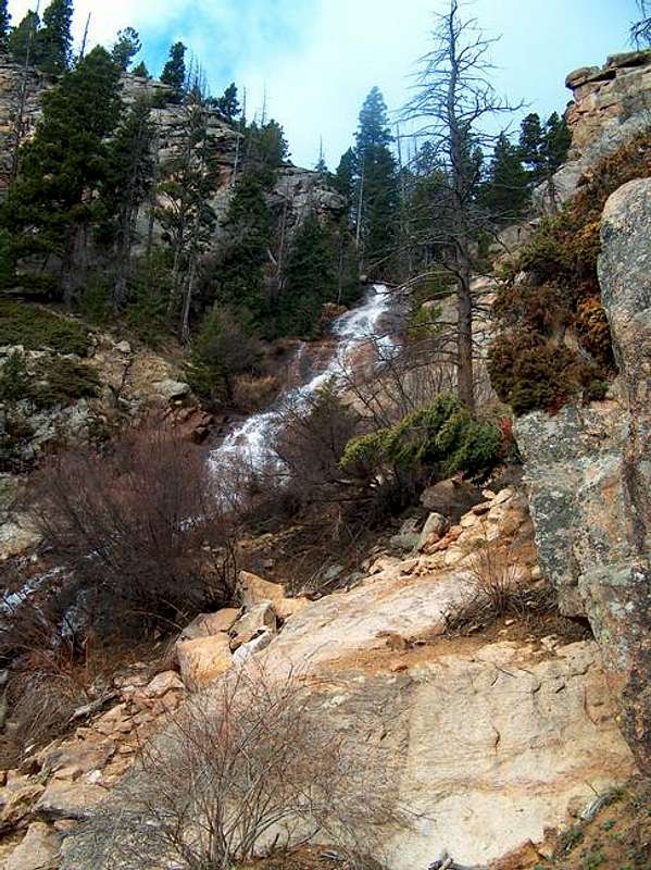
The base of St. Marys Falls...
View High-Resolution Image
The base of St. Marys Falls...
The base of St. Marys Falls 2.5 miles into the hike, 5/05. This is a great place to take a breather.
« PREV
NEXT »
shanrickv
on
May 25, 2005 12:44 am
Comments & voting
Other parents
Lat/Lon:
38.76610°N / 104.9205°W
Image ID:
106686
4463 Hits
75.81
% Score
6
Votes
Log in to vote
Comments
No comments posted yet.
to post!
Don't have an account?
St. Mary's Falls/Trail 624
(Route)
You are at
the First
Image
Viewing
#1 of 3
GALLERY
NEXT »
shanrickv's Image Gallery
« PREV
Viewing
#66 of 216
GALLERY
NEXT »
Stove Mountain (Cookstove Mt.)
(Mountain/Rock)
Loading....
×
You need to login in order to vote!
User Name
Password
Remember me
Forgot your password?
Log me out when I close my browser.
Keep me logged in all the time.
sign in as a user
Don't have an account?
Register now for FREE
Rating available
Suggested routes for you
People who climb the same things as you
Comments Available
Create Albums
Register Here


