Toggle navigation
Mountains
Routes
Images
Trip Reports
Forum
What's New
People
Areas & Ranges
Articles
Trailheads
Canyons
Huts & Campgrounds
Albums
Logistical Centers
Fact Sheets
Lists
Custom Objects
Gear
Plans & Partners
WELCOME TO SUMMITPOST
SIGN IN
REGISTER
Glacier National Park 2008
Additional Parents
Image
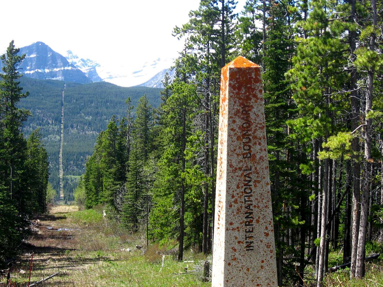
The border
View High-Resolution Image
The border
A view of the US-Canada border looking west on the Chief Mtn highway. Sarcee Mtn is among the peaks seen in the distance.
« PREV
NEXT »
KristinaAL
on
Dec 10, 2008 7:55 am
Comments & voting
Other parents
Lat/Lon:
48.99419°N / 113.71605°W
Image ID:
470845
733 Hits
71.06
% Score
1
Votes
Log in to vote
Comments
No comments posted yet.
to post!
Don't have an account?
Glacier National Park 2008
(Album)
« PREV
Viewing
#22 of 35
GALLERY
NEXT »
KristinaAL's Image Gallery
« PREV
Viewing
#132 of 151
GALLERY
NEXT »
×
You need to login in order to vote!
User Name
Password
Remember me
Forgot your password?
Log me out when I close my browser.
Keep me logged in all the time.
sign in as a user
Don't have an account?
Register now for FREE
Rating available
Suggested routes for you
People who climb the same things as you
Comments Available
Create Albums
Register Here


