Toggle navigation
Mountains
Routes
Images
Trip Reports
Forum
What's New
People
Areas & Ranges
Articles
Trailheads
Canyons
Huts & Campgrounds
Albums
Logistical Centers
Fact Sheets
Lists
Custom Objects
Gear
Plans & Partners
WELCOME TO SUMMITPOST
SIGN IN
REGISTER
Nanga Parbat
Additional Parents
Image
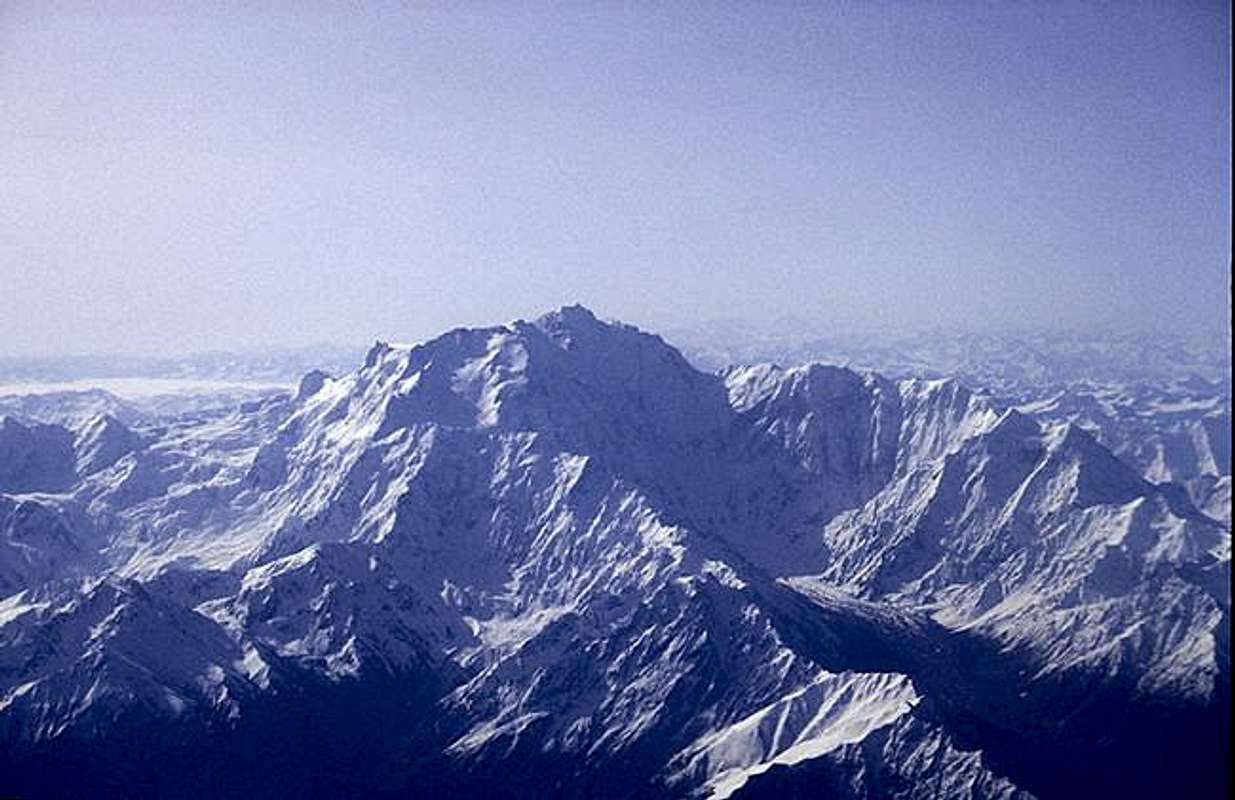
The Nanga Parbat range as...
View High-Resolution Image
The Nanga Parbat range as...
The Nanga Parbat range as seen from the plane going to
Skardu. The Rakhiot face is the sunny face on the left. The
Diamir face is under the summit in the shadow. The long
ridge in the right is the Mazeno ridge.
« PREV
NEXT »
Enriq
on
Jun 20, 2005 1:58 pm
Comments & voting
Other parents
Lat/Lon:
35.25000°N / 74.60000°E
Image ID:
110992
15002 Hits
79.83
% Score
14
Votes
Log in to vote
Comments
Post a Comment
Viewing: 1-1 of 1
om
-
Jun 20, 2005 2:32 pm - Hasn't voted
why
why o star?
Viewing: 1-1 of 1
to post!
Don't have an account?
Nanga Parbat
(Mountain/Rock)
« PREV
Viewing
#74 of 160
GALLERY
NEXT »
Enriq's Image Gallery
« PREV
Viewing
#35 of 58
GALLERY
NEXT »
×
You need to login in order to vote!
User Name
Password
Remember me
Forgot your password?
Log me out when I close my browser.
Keep me logged in all the time.
sign in as a user
Don't have an account?
Register now for FREE
Rating available
Suggested routes for you
People who climb the same things as you
Comments Available
Create Albums
Register Here


Comments
Post a Comment