Toggle navigation
Mountains
Routes
Images
Trip Reports
Forum
What's New
People
Areas & Ranges
Articles
Trailheads
Canyons
Huts & Campgrounds
Albums
Logistical Centers
Fact Sheets
Lists
Custom Objects
Gear
Plans & Partners
WELCOME TO SUMMITPOST
SIGN IN
REGISTER
Thunderbolt Peak
Additional Parents
Image
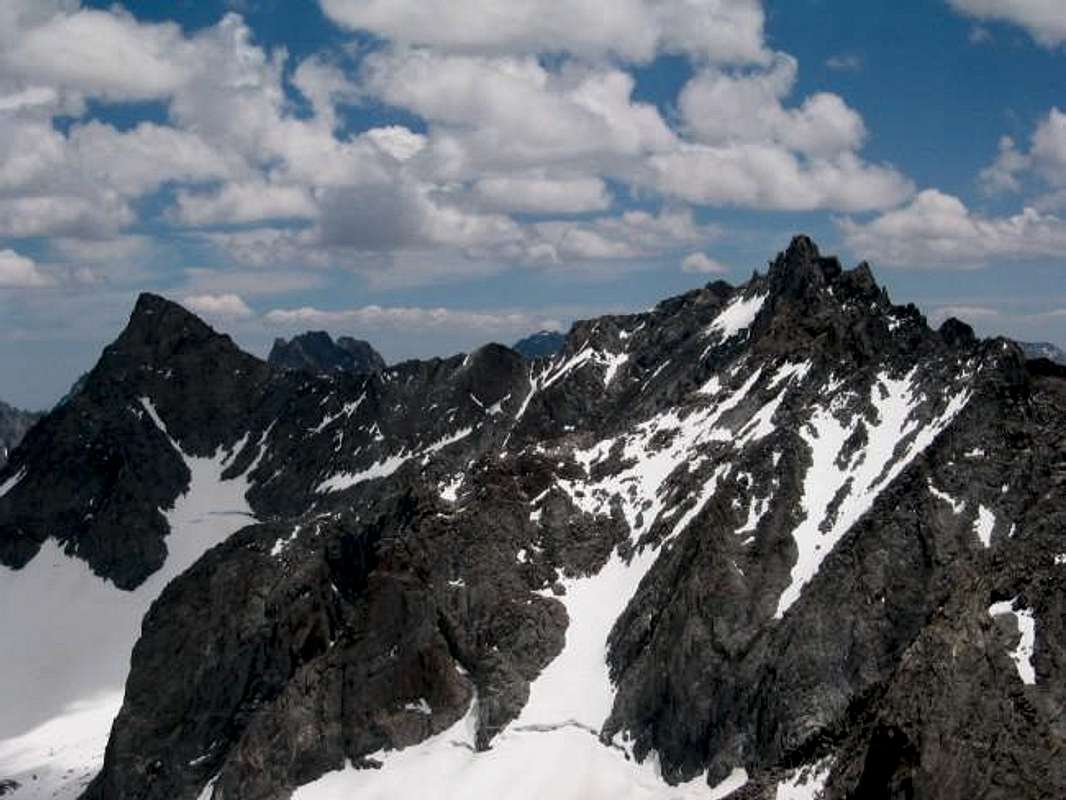
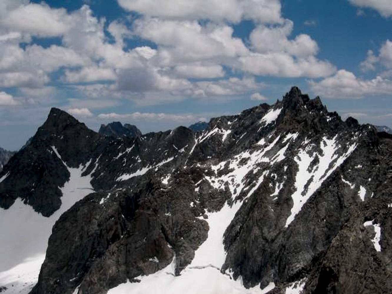
The Palisade Range, from...
View High-Resolution Image
The Palisade Range, from...
The Palisade Range, from right to left: T-bolt, starlight, N. Pal., and Mt. Sill.
« PREV
NEXT »
Guilty
on
Jul 6, 2004 10:27 pm
Comments & voting
Other parents
Lat/Lon:
37.09810°N / 118.5167°W
Image ID:
59542
1751 Hits
71.63
% Score
2
Votes
Log in to vote
Comments
No comments posted yet.
to post!
Don't have an account?
Thunderbolt Peak
(Mountain/Rock)
« PREV
Viewing
#119 of 144
GALLERY
NEXT »
Guilty's Image Gallery
« PREV
Viewing
#58 of 95
GALLERY
NEXT »
×
You need to login in order to vote!
User Name
Password
Remember me
Forgot your password?
Log me out when I close my browser.
Keep me logged in all the time.
sign in as a user
Don't have an account?
Register now for FREE
Rating available
Suggested routes for you
People who climb the same things as you
Comments Available
Create Albums
Register Here


