Toggle navigation
Mountains
Routes
Images
Trip Reports
Forum
What's New
People
Areas & Ranges
Articles
Trailheads
Canyons
Huts & Campgrounds
Albums
Logistical Centers
Fact Sheets
Lists
Custom Objects
Gear
Plans & Partners
WELCOME TO SUMMITPOST
SIGN IN
REGISTER
Cordillera Talamanca
Additional Parents
Cerro Ventisqueros
Image
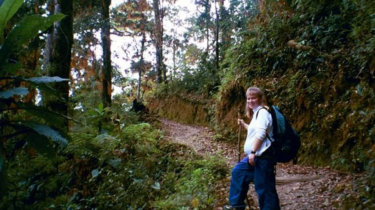
The rain forest along the...
View High-Resolution Image
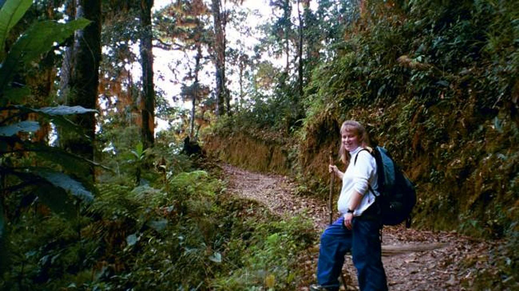
The rain forest along the...
The rain forest along the approach to Base Crestones.
« PREV
NEXT »
Scott
on
Mar 6, 2004 11:18 pm
Comments & voting
Other parents
Lat/Lon:
9.49000°N / 83.5°W
Image ID:
44292
3804 Hits
72.95
% Score
4
Votes
Log in to vote
Comments
No comments posted yet.
to post!
Don't have an account?
Cordillera Talamanca
(Area/Range)
« PREV
Viewing
#14 of 15
GALLERY
NEXT »
Scott's Image Gallery
« PREV
Viewing
#3686 of 8098
GALLERY
NEXT »
Cerro Ventisqueros
(Mountain/Rock)
Loading....
×
You need to login in order to vote!
User Name
Password
Remember me
Forgot your password?
Log me out when I close my browser.
Keep me logged in all the time.
sign in as a user
Don't have an account?
Register now for FREE
Rating available
Suggested routes for you
People who climb the same things as you
Comments Available
Create Albums
Register Here


