Toggle navigation
Mountains
Routes
Images
Trip Reports
Forum
What's New
People
Areas & Ranges
Articles
Trailheads
Canyons
Huts & Campgrounds
Albums
Logistical Centers
Fact Sheets
Lists
Custom Objects
Gear
Plans & Partners
WELCOME TO SUMMITPOST
SIGN IN
REGISTER
Pine Peak Road
Additional Parents
Image
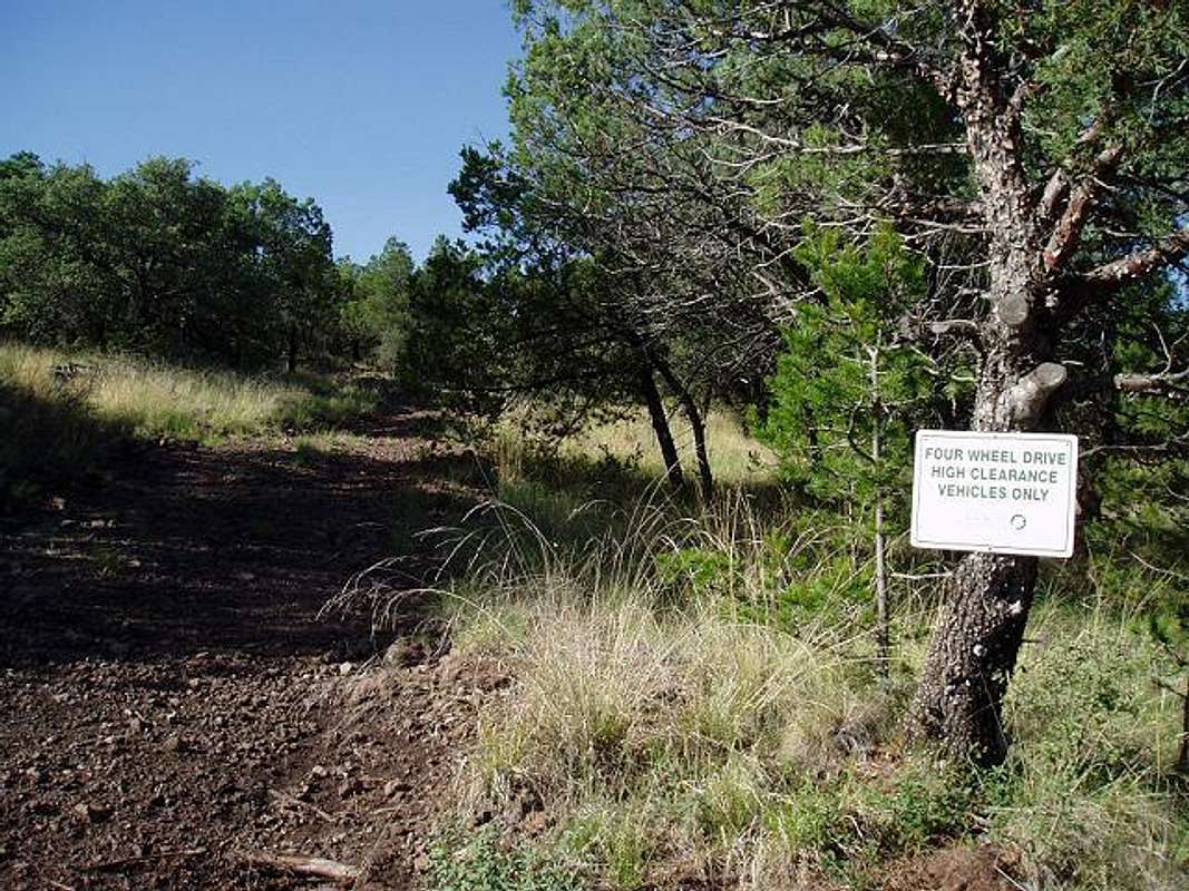
The route steepens
View High-Resolution Image
The route steepens
Just above the junction of the Shoe Tank Road & 48 Tank Road; this is where the route really starts to climb.
« PREV
NEXT »
txmountaineer
on
Jul 28, 2009 12:44 pm
Comments & voting
Other parents
Lat/Lon:
30.67195°N / 104.12662°W
Image ID:
534346
1426 Hits
0
% Score
0
Votes
Log in to vote
Comments
No comments posted yet.
to post!
Don't have an account?
Pine Peak Road
(Route)
« PREV
Viewing
#2 of 4
GALLERY
NEXT »
txmountaineer's Image Gallery
« PREV
Viewing
#357 of 366
GALLERY
NEXT »
Pine Peak
(Mountain/Rock)
Loading....
×
You need to login in order to vote!
User Name
Password
Remember me
Forgot your password?
Log me out when I close my browser.
Keep me logged in all the time.
sign in as a user
Don't have an account?
Register now for FREE
Rating available
Suggested routes for you
People who climb the same things as you
Comments Available
Create Albums
Register Here


