
Viewing: 1-3 of 3

hgrapid - Jun 9, 2004 8:56 pm - Voted 10/10
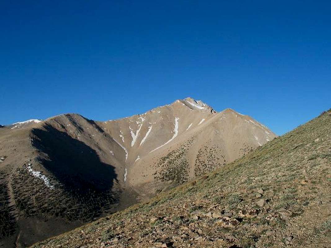
How much higherGreat SHOT!!!
If it looks so big from there, what is the elevation where that photo was shot?

Dean - Jun 9, 2004 9:10 pm - Hasn't voted
Re: How much higher
Thank you. The elev was a little over 10700 feet on the ridge where I shot this pic.
sbeard - May 5, 2005 9:42 pm - Hasn't voted
Summited 4/30/05You got that right!!! Steeper too. Add the snow and it was 13 hr R/T from Queen Mine.
Viewing: 1-3 of 3


Comments
Post a Comment